
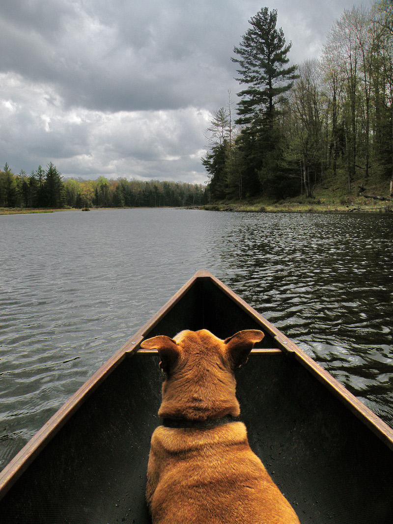
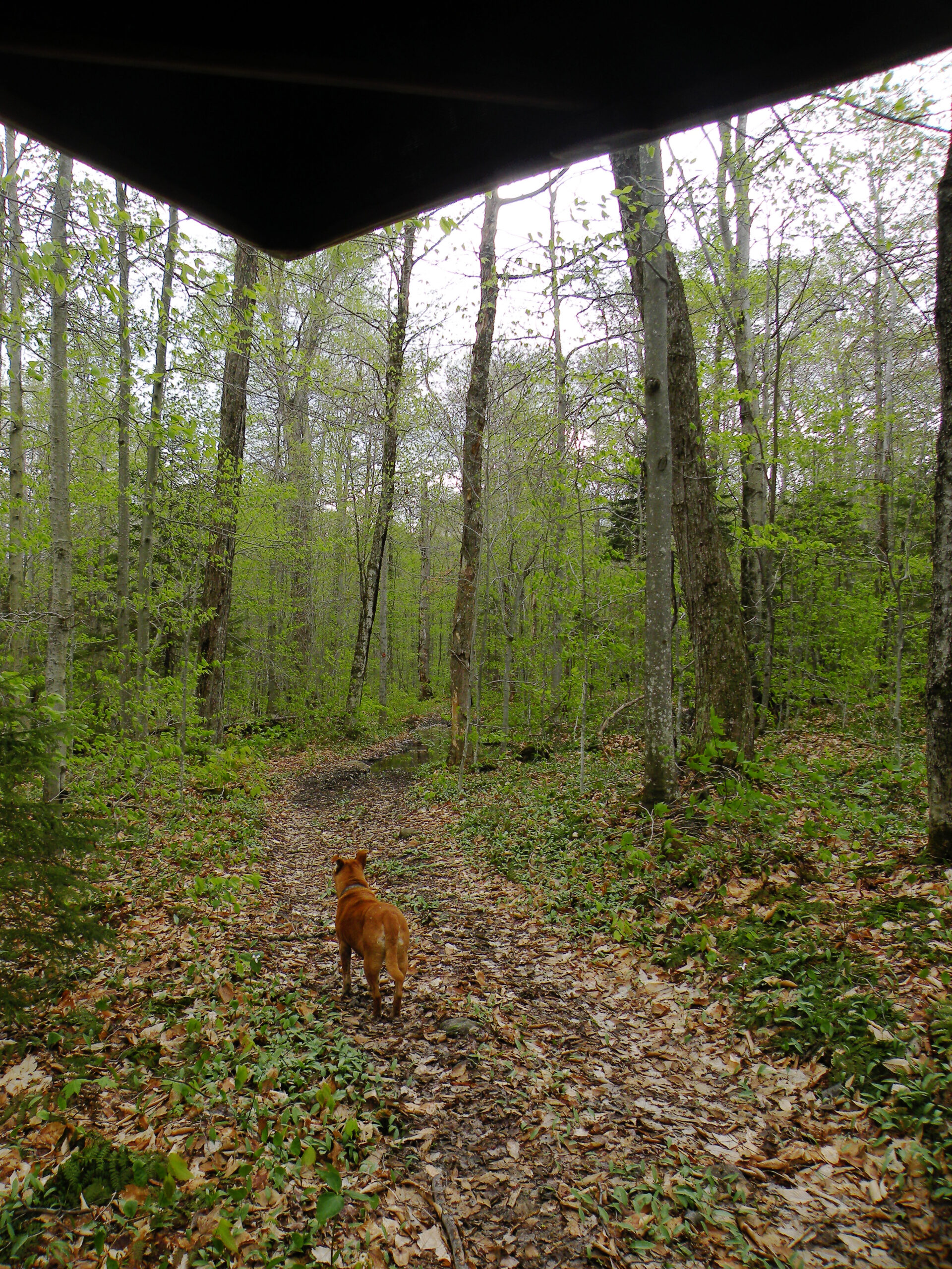
Jakes Pond

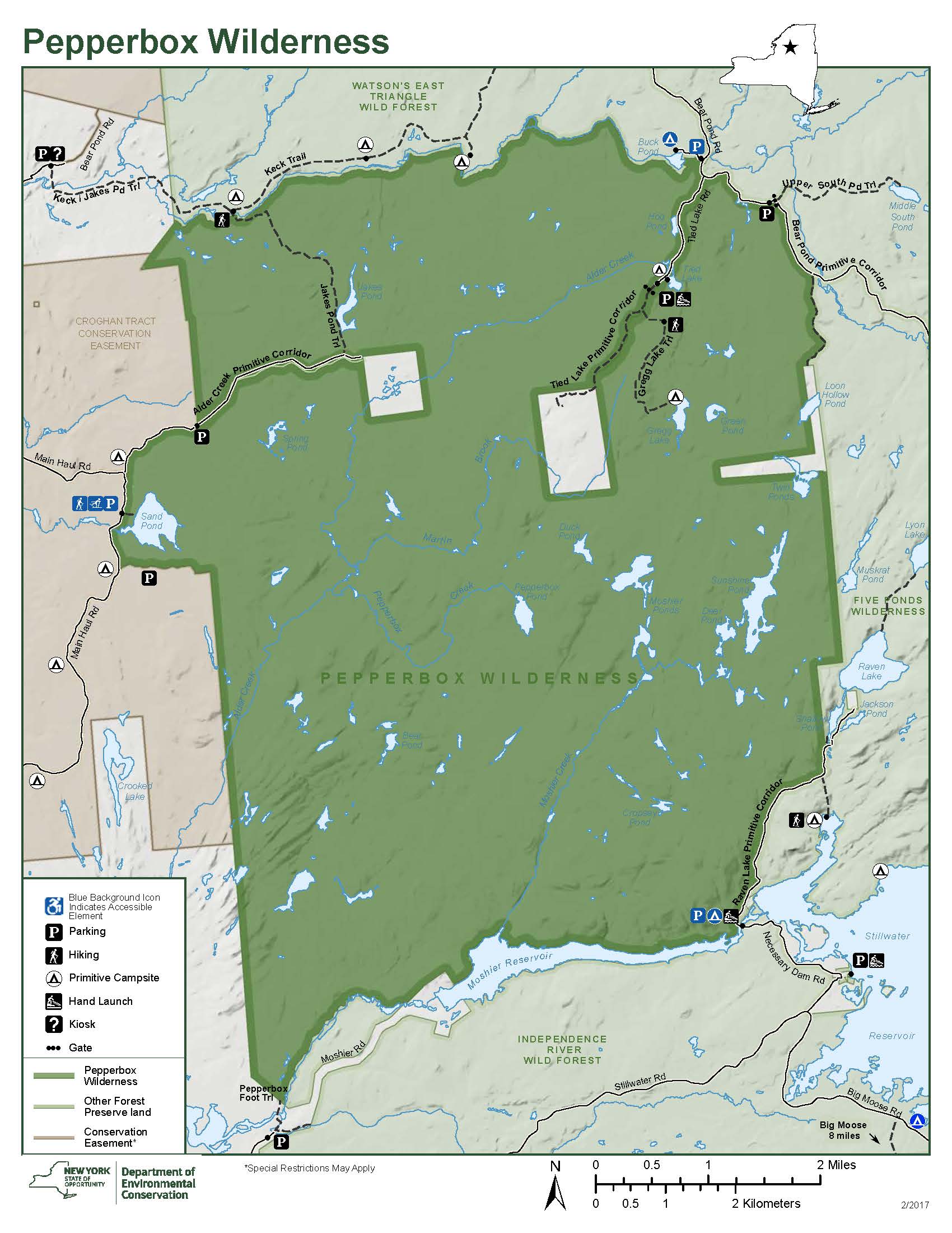
The Pepperbox Wilderness is a 23,813-acre parcel of Forest Preserve located very near the western boundary of the Adirondack Park. Pinched between the Beaver River to the south and the West Branch Oswegatchie River to the north, it includes numerous small ponds, wetlands, and streams. Partly because of its isolated location, recreational use has been very light. There are few marked trails, and the access points are far from the park’s main travel corridors.
For all of these reasons, the Pepperbox (as it is affectionately known) may be among the most exemplary of all the wilderness areas in the Adirondacks – in all aspects except size. It truly is a place where solitude has reigned supreme for many years, and probably will for some time to come, despite containing just a fraction of the acreage of the neighboring Five Ponds Wilderness.
When state officials first classified the Pepperbox as wilderness in 1972, it was an island of public land surrounded on three sides by blocks of private land. However, a series of key land acquisitions in the 1980s and 1990s filled in the gaps between the Pepperbox and Five Ponds areas, creating a large, almost continuous expanse of wilderness. In some places, the boundary between the two is indistinguishable in the field and exists only on maps. However, several remote inholdings of private land are accessed by a matching number of narrow access roads penetrating into this area, and here visitors may yet encounter some light motorized use.
Please click through the tabs below to learn more about the Pepperbox Wilderness.
Size: 23,813 acres
First Designated: 1972
Unit Management Plan Status: Completed in 1985, revised 2015
Special Regulations: None; standard Forest Preserve regulations are in effect


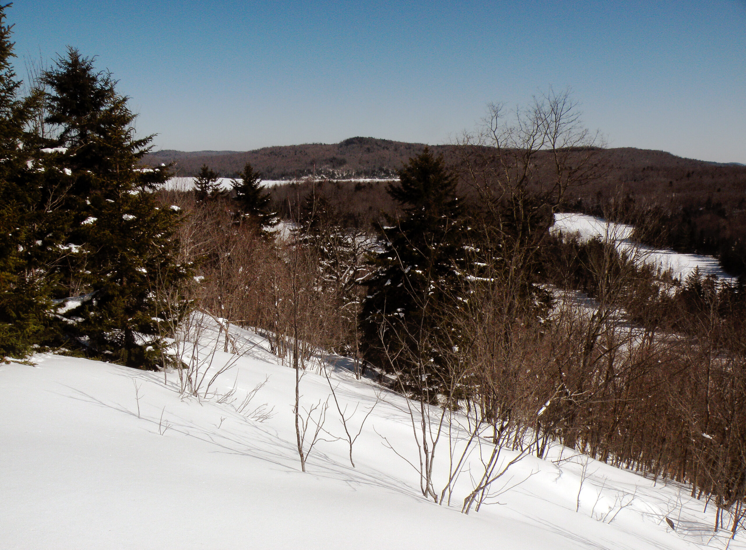
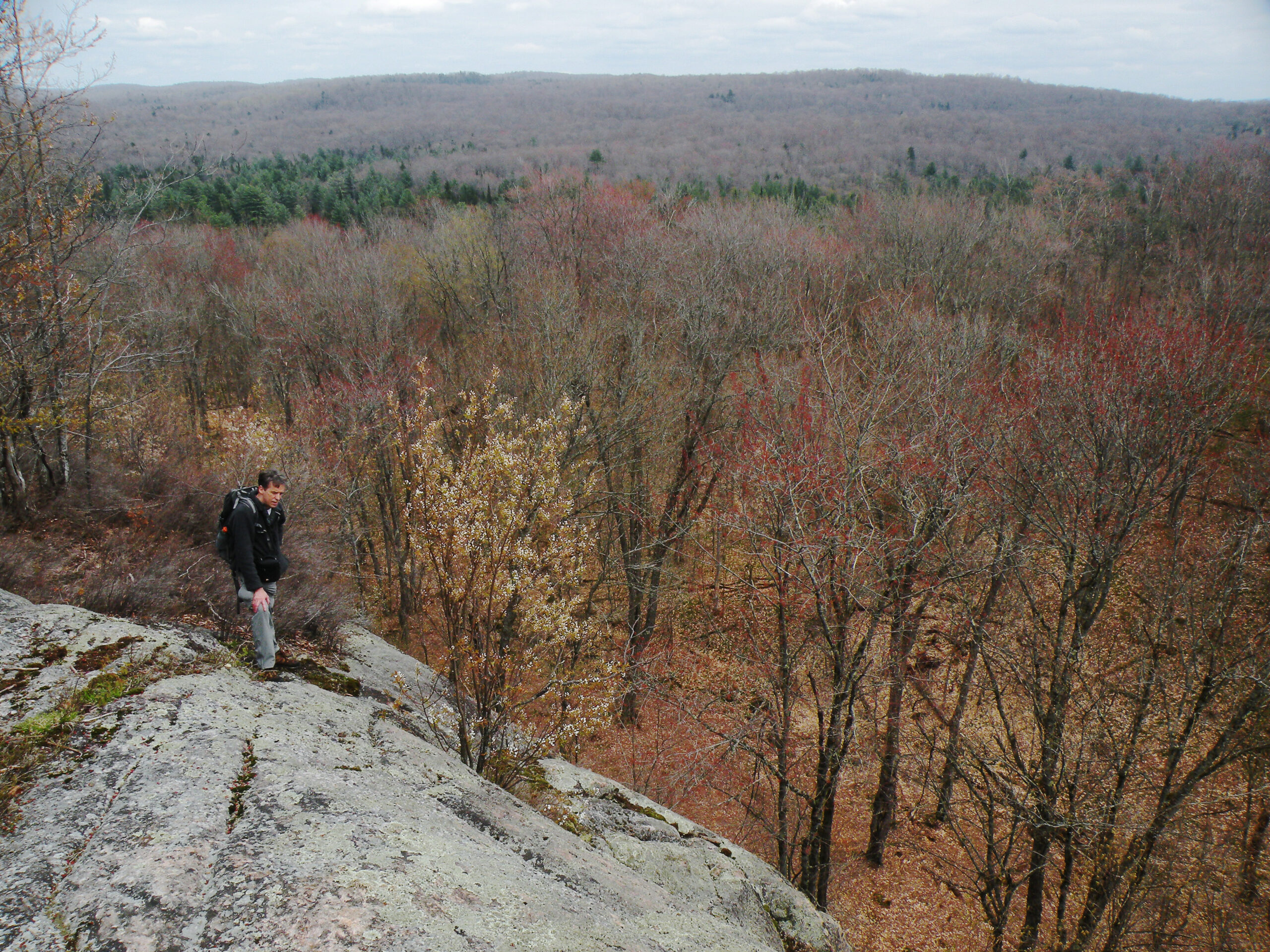
The Pepperbox is unique among Adirondack wilderness areas in its general lack of high mountain summits of any kind. Sure, there are various ridges scattered throughout the area, but none tall enough to provide much of a backdrop to any of the nearby ponds. Horizons are flatter here than perhaps most other regions.
This is not to say that summits are completely absent. In fact, there had once been a fire tower standing on a complex series of rocky ridges known as “Beaver Lake Mountain.” This is not a name you’ll find on any topographic map, but the “mountain” is easily identifiable as an area of parallel ridges west of Threemile Beaver Meadow. Although the vertical rise is relatively minimal, this may be the most distinctive “mountain” in the entire area. An unnamed bald summit near Shallow Pond, straddling the Five Ponds Wilderness boundary, is another standout landmark.
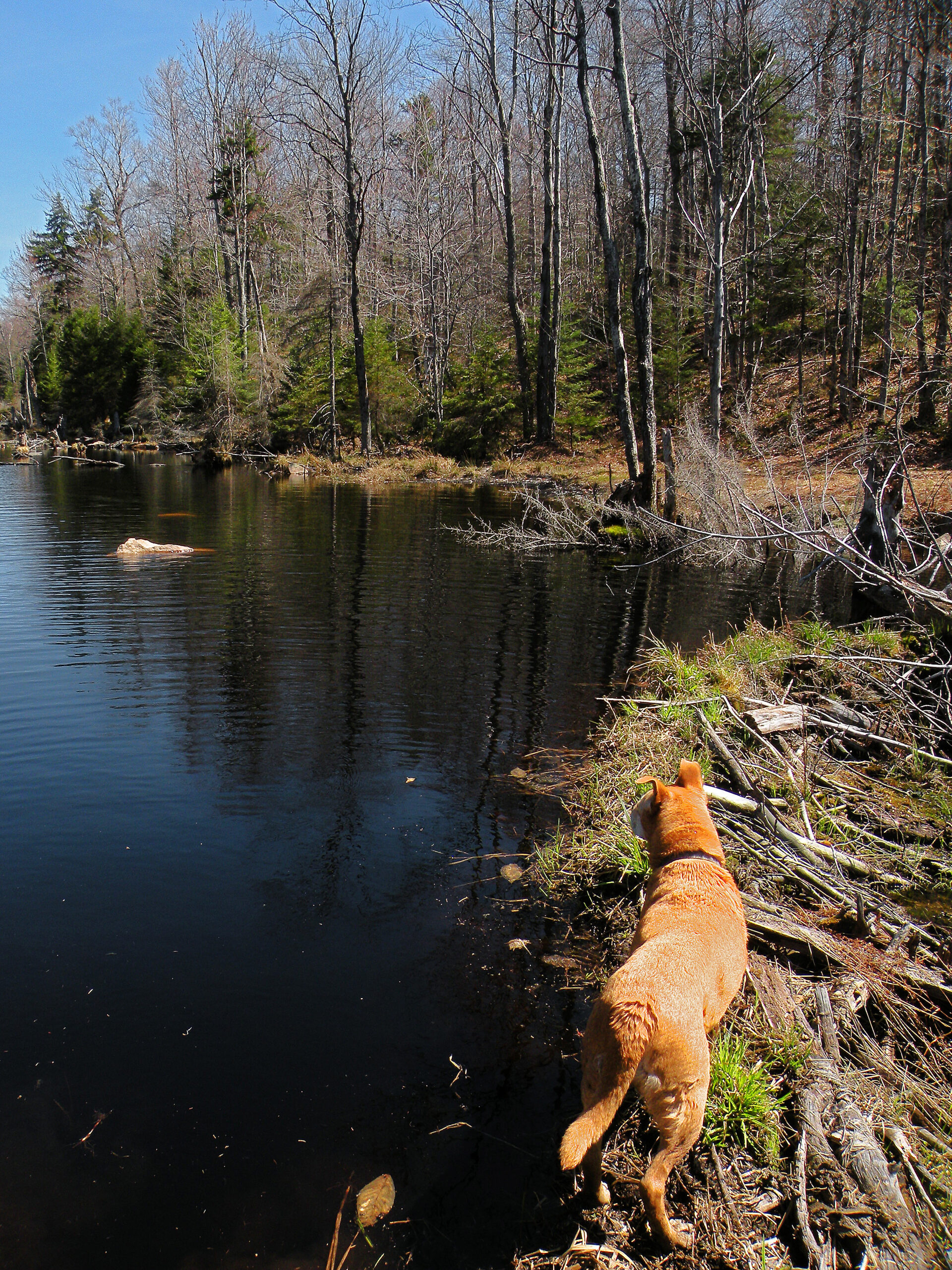
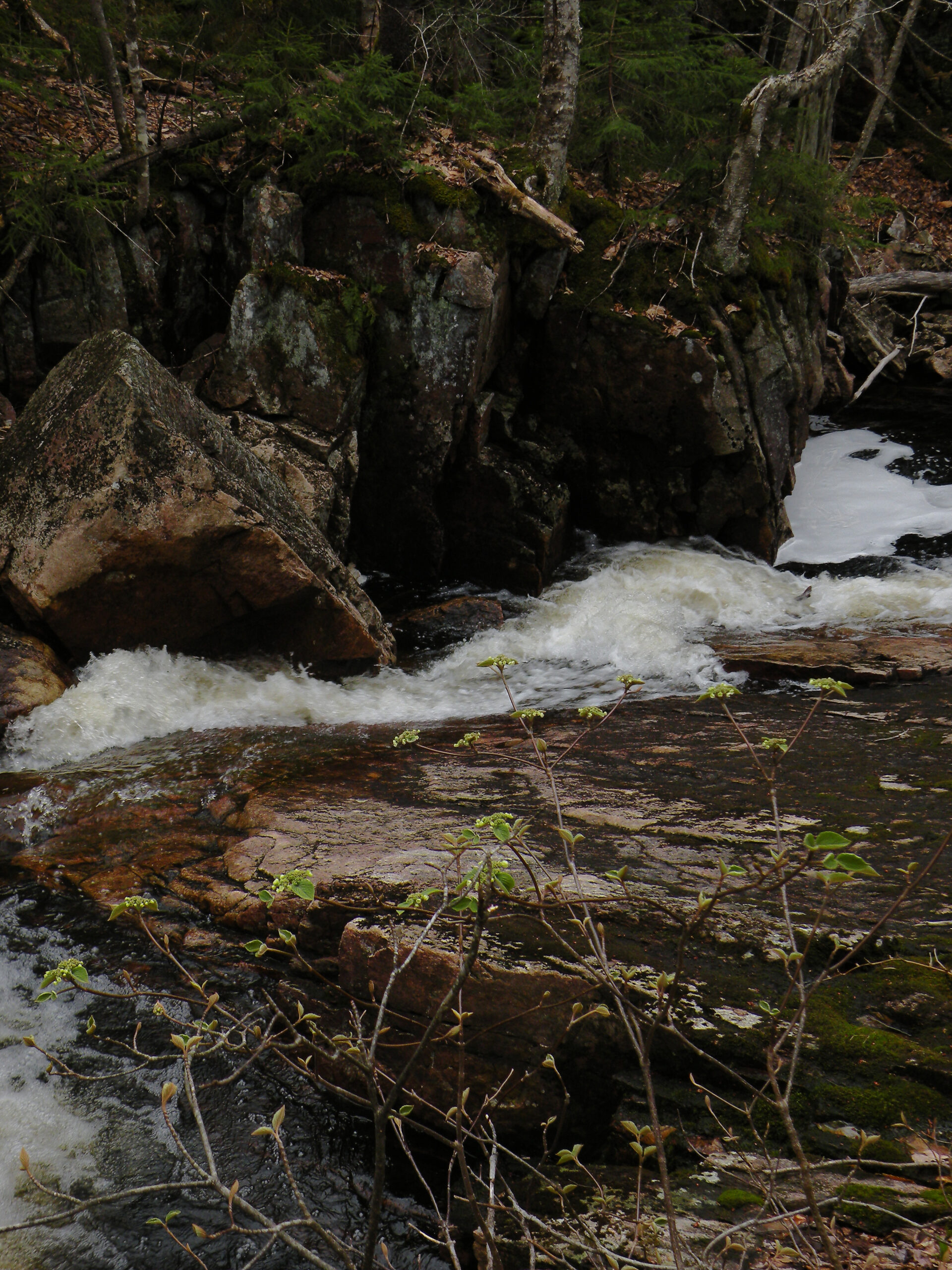
But no one expects this to be a mountainous landscape. The Pepperbox is a place of ponds and wetlands, with some 70 bodies of water totaling 617 acres, according to the official state count. They range in size from the small and obscure, to the outstanding Sunshine Pond, the largest in the unit. How any state official arrived at the above-mentioned count is a mystery, though, as the area is well-stocked with industrious beaver populations – and as we all know, beavers are quite good at making new ponds as they please.
For years, most of these ponds were too acidic to support natural fisheries; they were victims of the long-range, interstate pollution known as acid rain. However, there are signs the ponds may be recovering from this scourge; in 2018 DEC stocked one interior pond for the first time in decades after studies showed it had naturally recovered from the effects of acid rain.
The Pepperbox, with its dearth of marked trails or popular destinations, excels at providing the sense of solitude and remoteness we expect of wilderness. However, this could easily change as the fisheries recover (enticing more anglers to seek out the remote ponds) or if human activities increase on the easement lands to the west (thus shrinking the natural soundscape of the area). Indeed, this is hardly a static place; it has changed in the past, and it will continue to change in the future. The key will be to ensure those changes are all for the wilder.
For such a small area, the Pepperbox Wilderness has an out-sized history that includes forgotten pioneer roads, wealthy landowners, a botched land acquisition, logging, and scattered forest fires. This story has been recounted in Bill Ingersoll’s popular post “A Brief History of the Pepperbox Wilderness.” Follow the link below to read more.
The Pepperbox is not a place of many trails. In fact, only three official state trails penetrate its boundaries, and none are well known. The rest of the area is officially “trailless,” although that term is not entirely accurate. Nevertheless, off-trail travel is the way most people access this area – to the extent anyone visits the Pepperbox at all.
Of the state’s three official marked trails, the easiest to find is the route to Jakes Pond, which begins on Long Pond Road and follows portions of the West Branch Oswegatchie River. The trailhead is maintained year-round, and the Pepperbox can be accessed from this point after hiking through non-wilderness lands for several miles. However, this trail suffers from excessive wetness and a few tricky stream crossings that require a deep freeze to be passable in winter.
The trail to remote Gregg Lake begins at an obscure trailhead deep within the Watson’s East Triangle Wild Forest, the block of state land bordering the Pepperbox to the north. In summer and fall, Bear Pond Road is opened to public motor vehicle use, as is a portion of the so-called “Tied Lake Primitive Corridor,” a narrow road leading into the northeast corner of the wilderness. With care (and a sturdy vehicle) you can drive to Tied Lake and then hike to the designated campsite at Gregg.
In stark contrast to the above trails is the accessible route to Sand Pond on the western edge of the wilderness, where the Pepperbox spills across the county line into Lewis County. This short trail is hardened for wheelchair use and leads to one of the larger ponds in the area. However, getting there entails navigating a forestry road network through the Croghan Tract Conservation Easement.
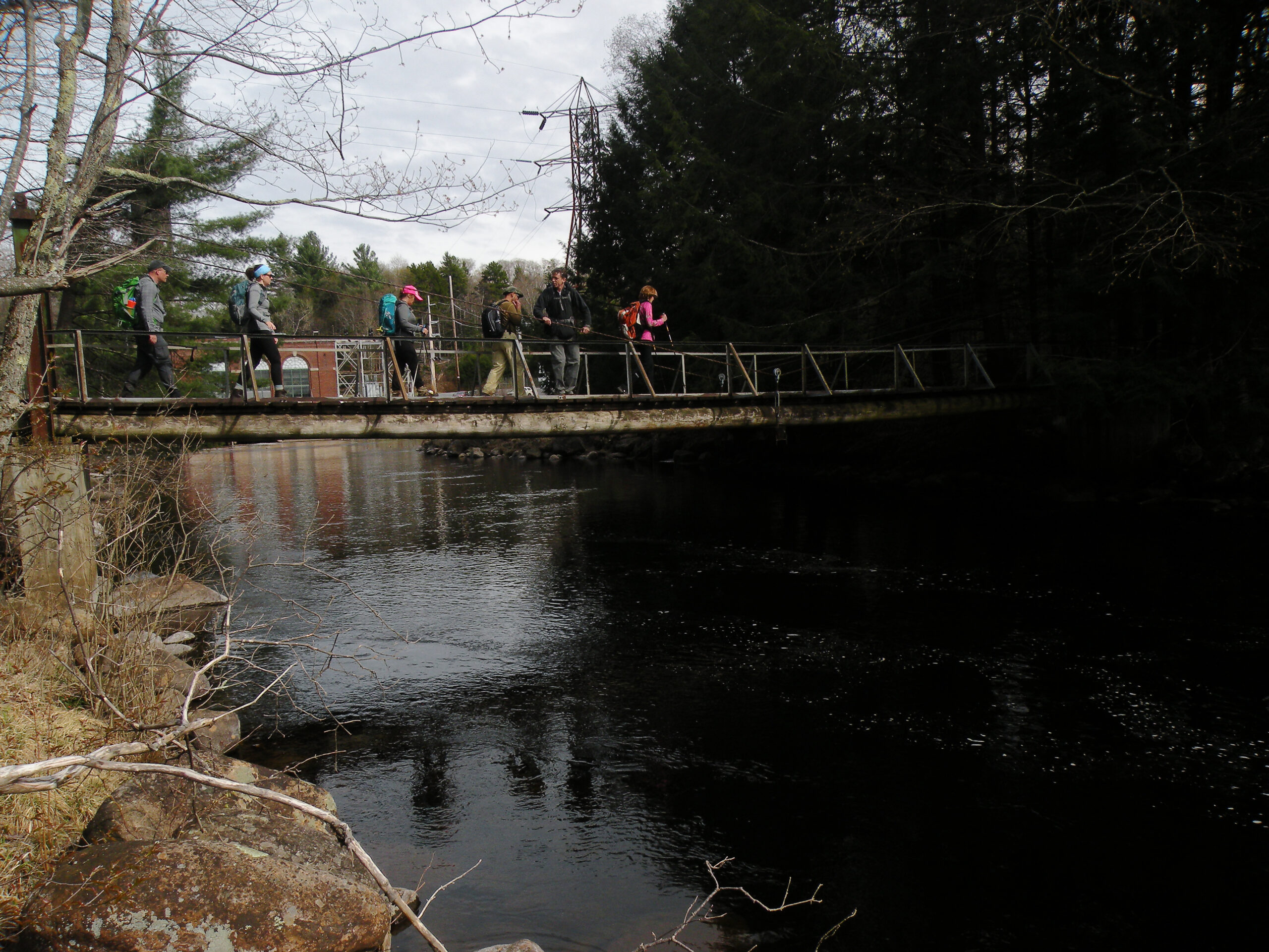
A fourth hiking trail leads from Moshier Road near Number Four to the wilderness boundary, where the state markers end. A highlight of this route is the footbridge across the Beaver River. Although the markers end once you reach the Pepperbox’s boundary, a system of unmarked trails branches outward from this point to Threemile Beaver Meadow and tiny Bear Pond (one of two Bear Ponds in the region). These routes are not for inexperienced route-finders, to be sure, and their maintenance from season to season cannot be guaranteed.
Combined with other access points near Sand Pond and the Stillwater Reservoir Dam, as well as the boat-accessible campsites on Moshier Reservoir, the Pepperbox Wilderness is not too hard to find. The problem is what to do once you get there. This is really a place to hone one’s bushwhacking skills, as that is the only way to reach many of the interior features; once freed of the dependence on marked trails, the explorer will find few other constraints in getting around – except for maybe the unexpected beaver pond blocking the way.
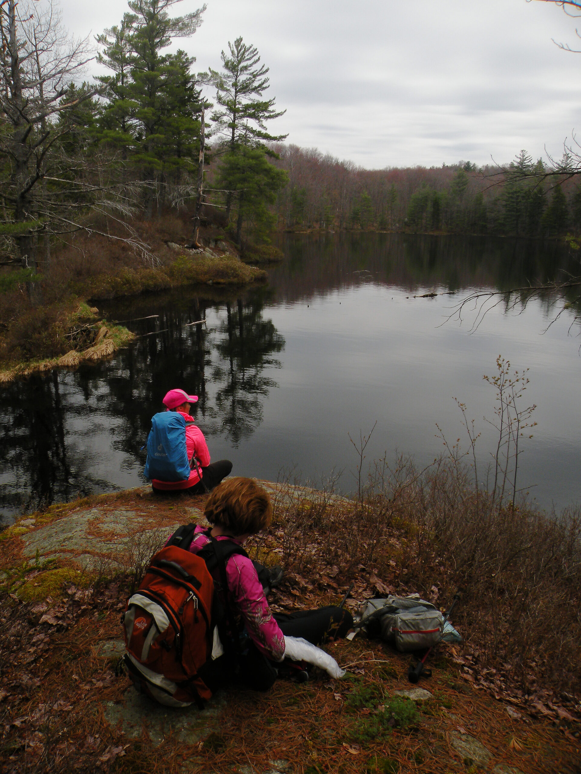
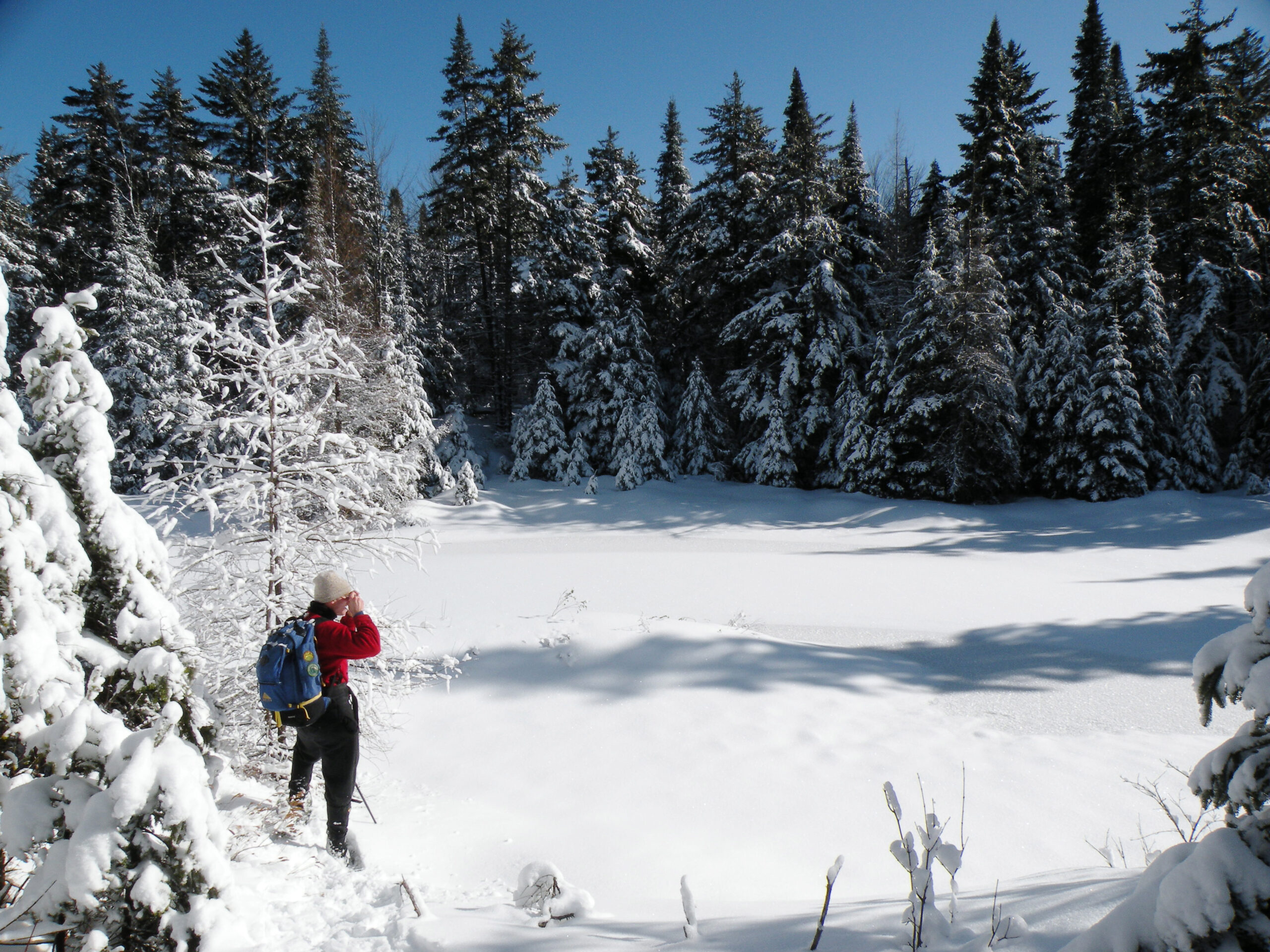
The Pepperbox is not entirely absent of people, though; hunters have their favorite campsites in the fall, and paddlers have been known to tote their lightweight canoes through the deep woods to waterways far from the nearest roads. Snowshoes are practically mandatory for a third of the year. Anyone coming to plumb the mysteries of this wilderness should expect to find deep snows in the winter, voracious bugs in the spring and summer, and no established campsites even at the larger ponds.
Note that three privately-owned inholdings exist within the Pepperbox Wilderness boundaries. Please respect each of these private parcels.
An area as small, unknown, and off-the-beaten-path as the Pepperbox Wilderness could be easy even for wilderness advocates to miss. Not so for us! The management of this place has come up for review in 2015 and again in 2019 / 2020, and we are committed to doing what we can to ensure it retains its wild and remote attributes.
You can read more about our ongoing efforts by following the link below.
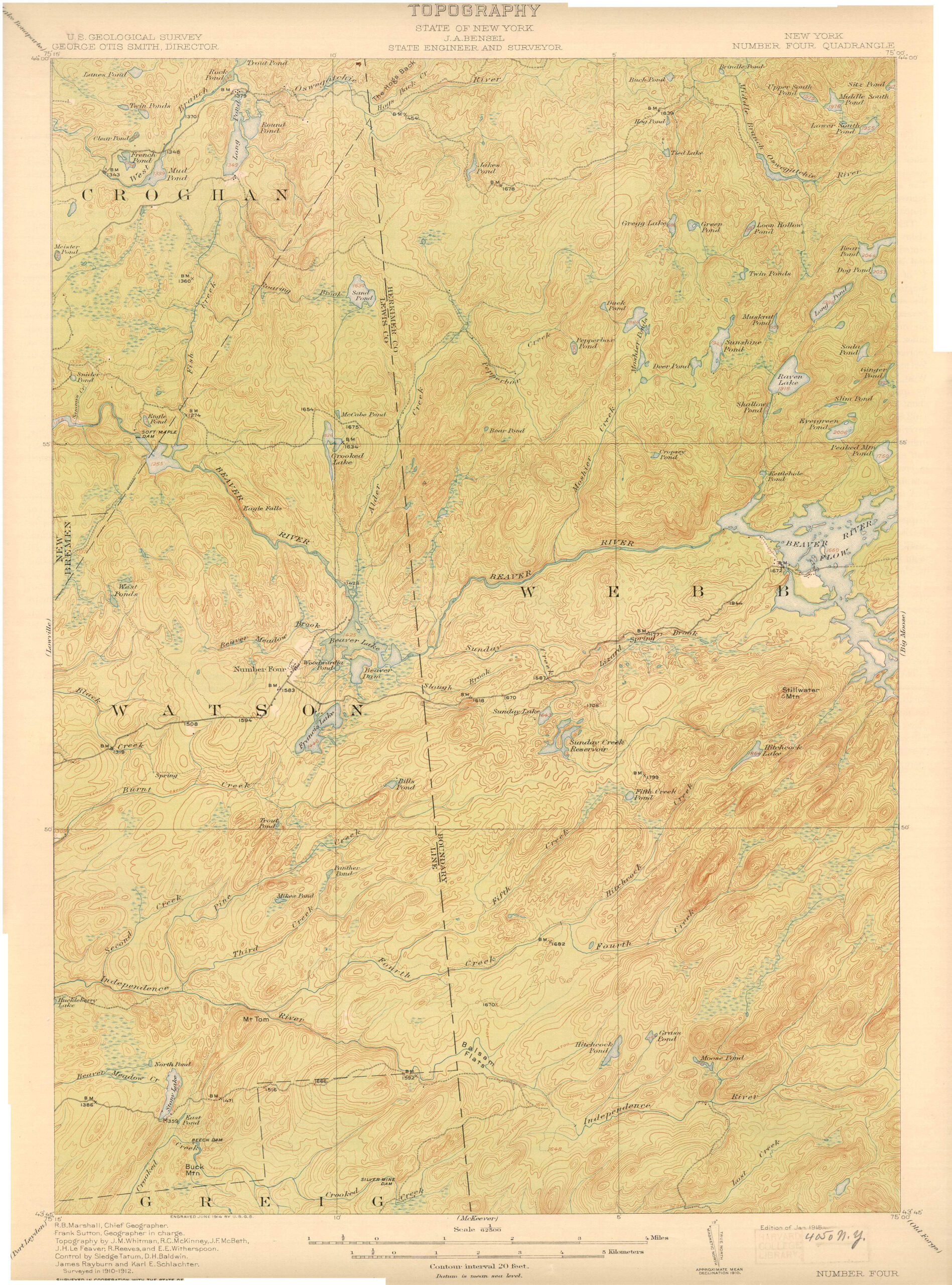
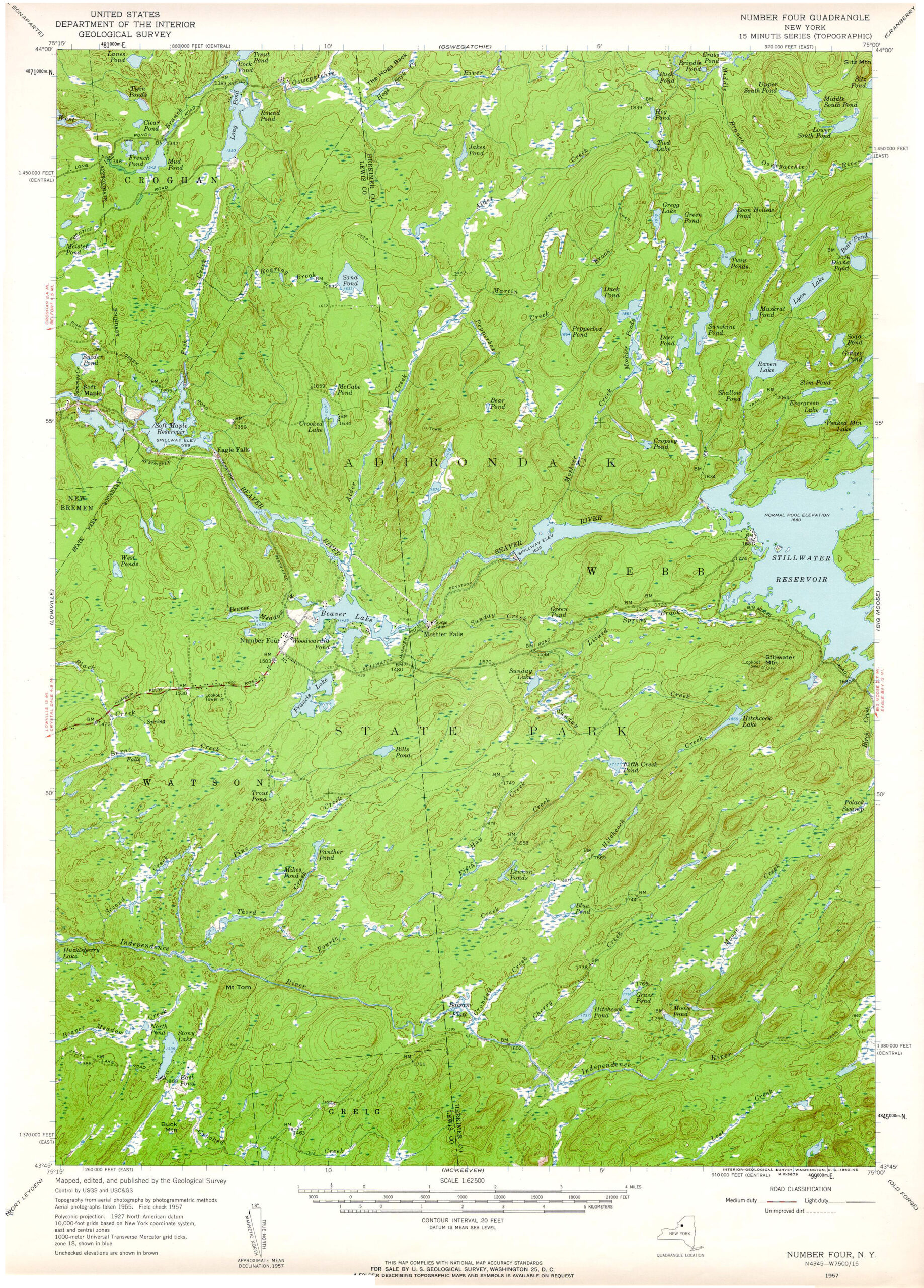
The above maps show the modern boundaries of the Pepperbox Wilderness (left) as well as its historic features (the two USGS maps at right; the Pepperbox occupies the northeast corner of each sheet). Click to enlarge, or download to view the full resolution.
The following links leave the AWA website and take you to various pages on the Department of Environmental Conservation (DEC) website with more information on the Pepperbox Wilderness.
Pepperbox Wilderness Information Page. Learn important contact information and peruse a list of facilities.
Backcountry Information for the Western Adirondacks. Trail conditions updated weekly for the Pepperbox Wilderness and neighboring areas.
Pepperbox Wilderness Unit Management Plan (1985). Download DEC’s official management plan, approved in 1985.
Pepperbox Wilderness Amended Unit Management Plan (2015). Download DEC’s amendment to the 1985 UMP.
State Land Regulations. Review the complete list of DEC regulations.
All photos © Bill Ingersoll. Site visitors are permitted to download an unlimited number of images from our website for personal, educational, scientific, or professional use only, with attribution. Commercial use and further distribution of images is prohibited without express written permission.


