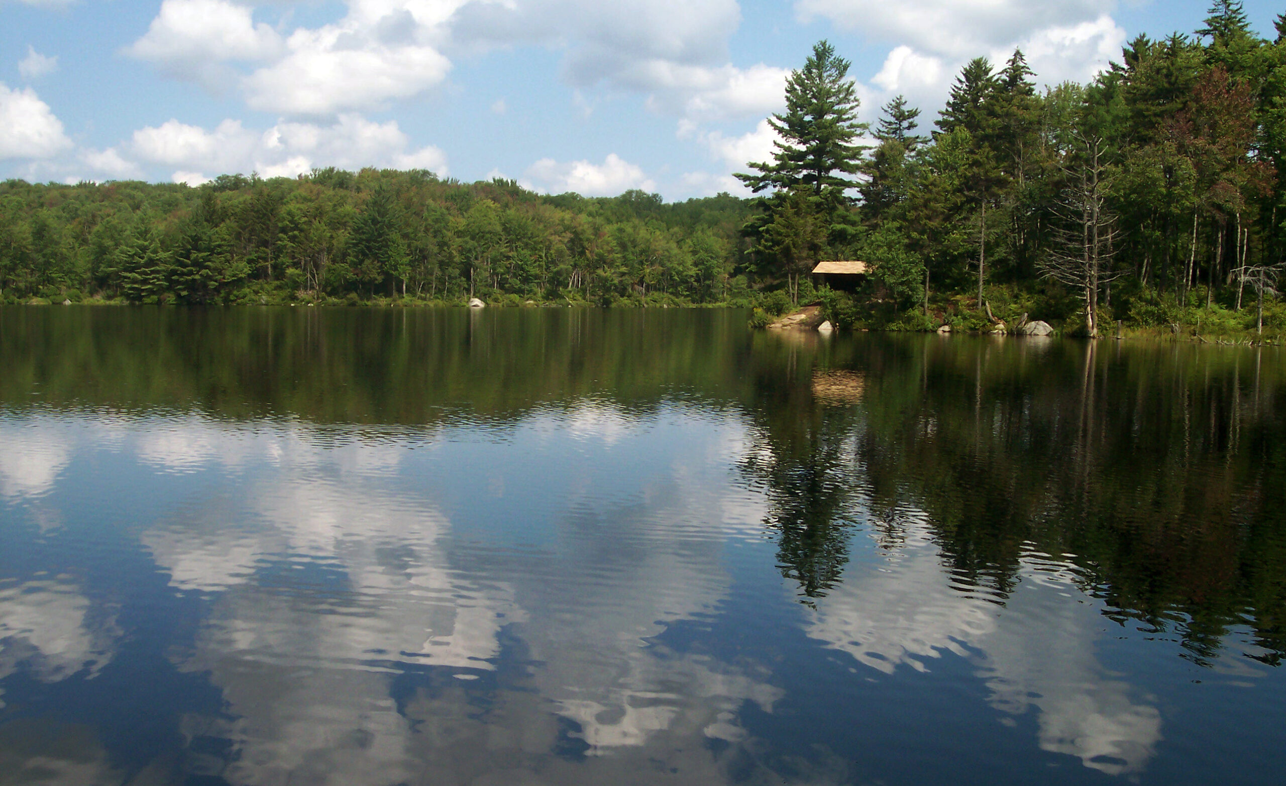
Middle Settlement Lake

The Ha-de-ron-dah Wilderness is a southwestern Adirondack landmark, an old familiar friend to which people return again and again. With an engaging trail system and destinations spaced just far enough away from civilization to serve as backdrops for comfortable weekend hikes, this wilderness is comfort food for the adventurous soul.
As popular and pleasingly wild as it is today, it is easy to forget that today’s Ha-de-ron-dah Wilderness was pieced together from yesterday’s discarded lands; it might not even exist as part of the Forest Preserve had it not been burned to a crisp in 1903, the victim of a stray spark from the nearby Adirondack Division Railroad in Thendara. Its timber value all but destroyed, the state snapped up this acreage in 1909. The forest has since grown back, but not without changes; graceful stands of tall black cherry trees would not exist today had the fire not cleared places for them to flourish as saplings.
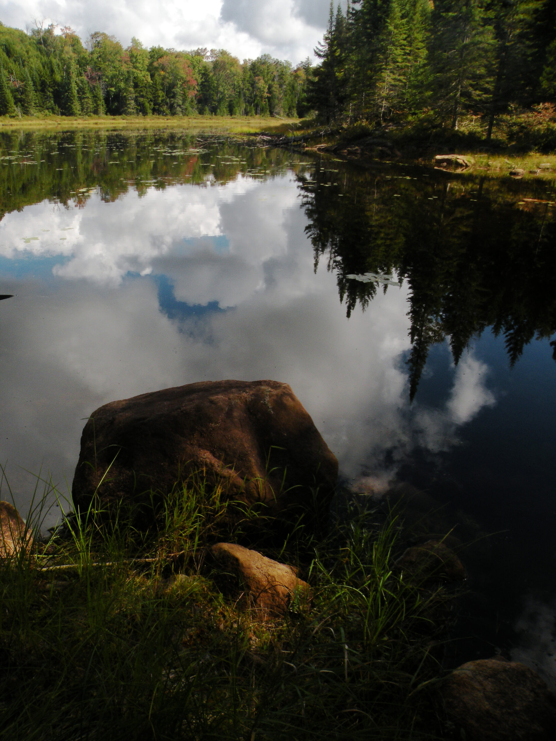
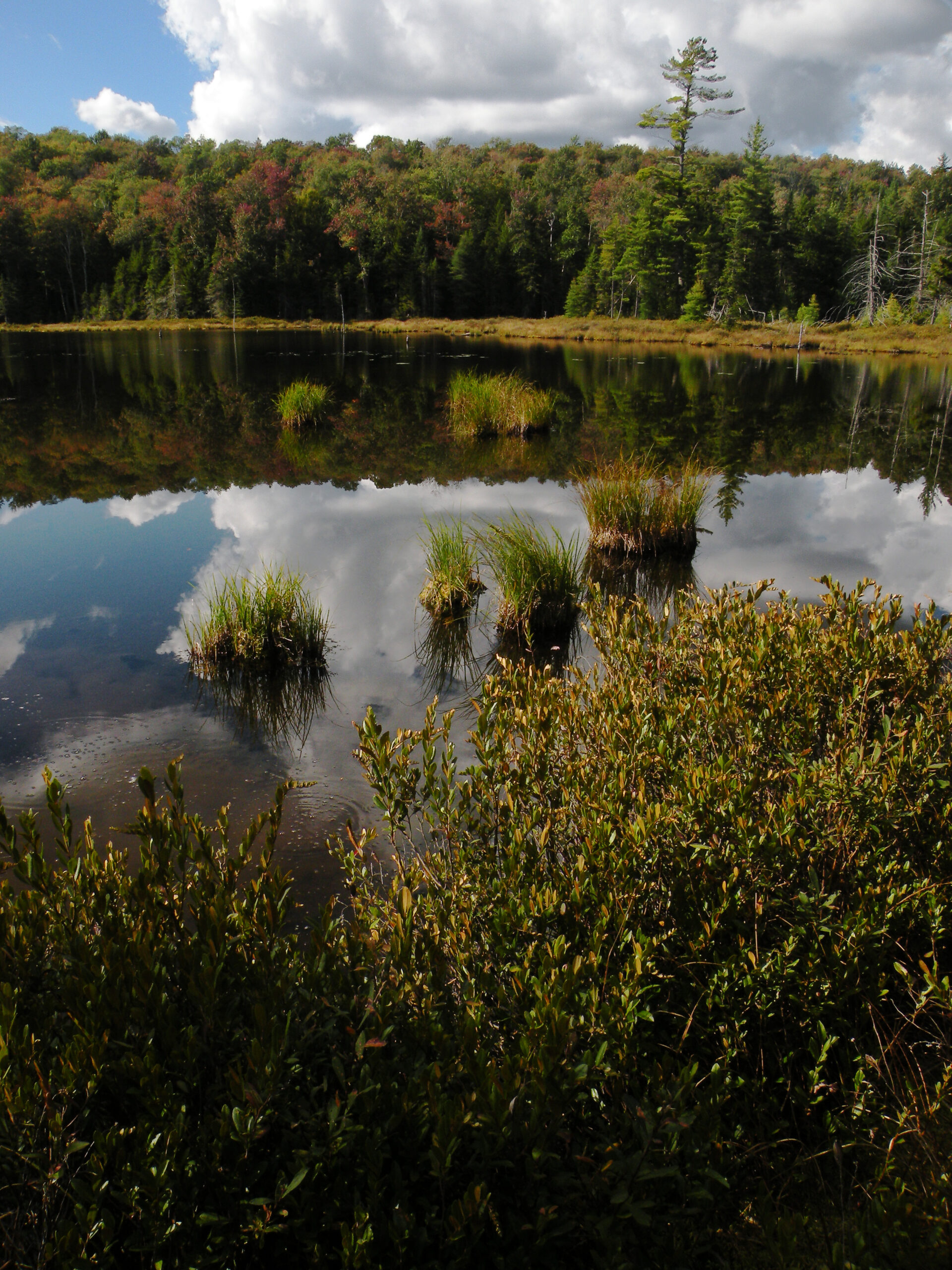
This is a subtle landscape, more richly populated with beaver ponds than large mountains. The small lakes for which the area is best known have an understated appearance, many of them fronted by open hardwood forests – completely unlike the thickly coniferous shorelines found elsewhere in the Adirondacks. Hills are abundant, although the 1903 fire bared fewer summits than one might expect. But the streams! They trace such complicated courses they are essentially liquid mazes; just try sorting out which watershed is which on a topographic map!
Small size and proximity to a major tourist hub do have its effects on how the area is perceived and used, but few people who visit Ha-de-ron-dah have cause for complaint. Despite its compact size, this “pocket wilderness” has much to offer.
Please click through the tabs below to learn more about the Ha-de-ron-dah Wilderness.
Size: 24,892 acres
First Designated: 1972
Unit Management Plan Status: Completed in 1995
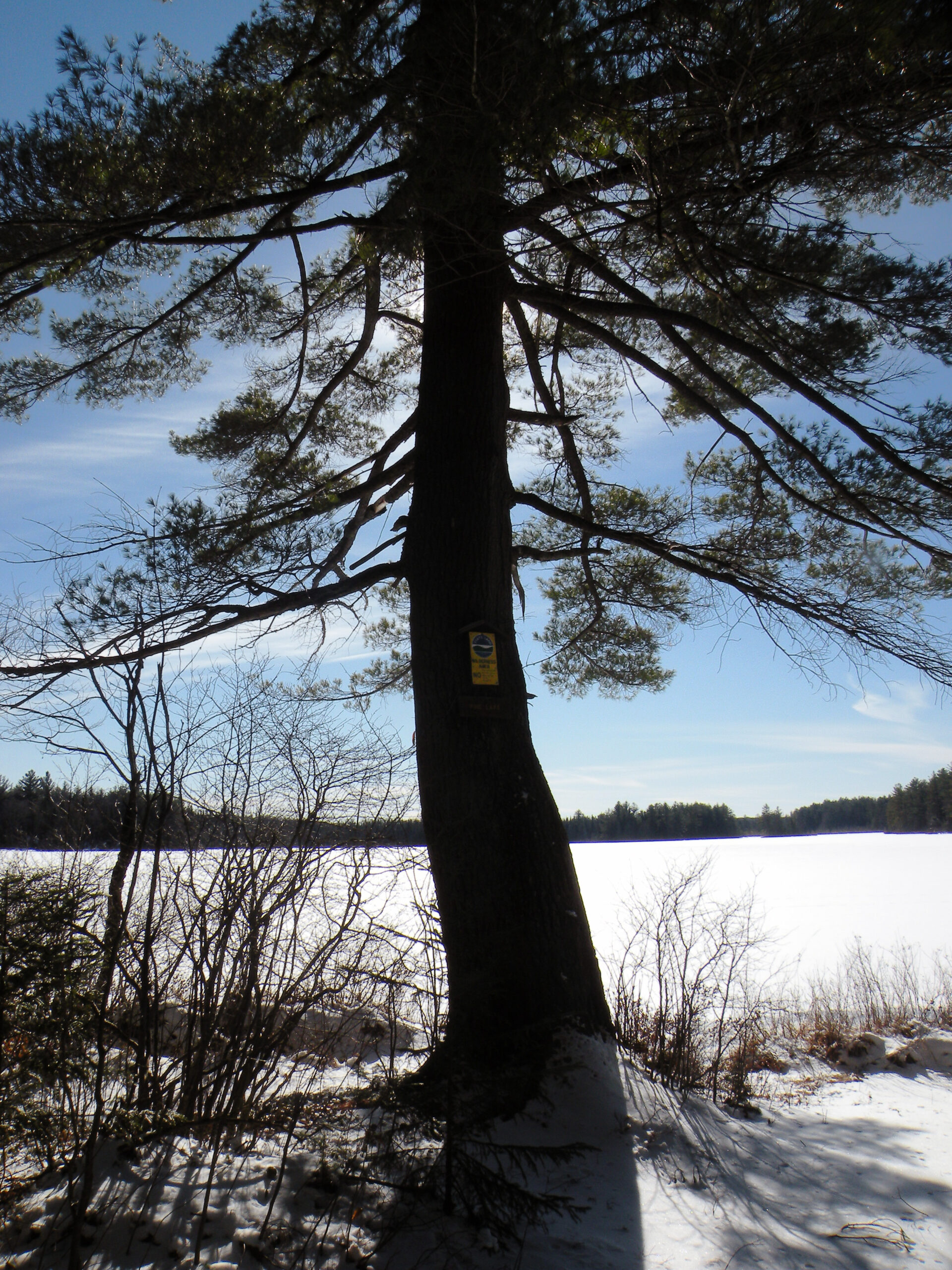
Special Regulations: None; standard Forest Preserve regulations are in effect


There really is nothing superlative about Ha-de-ron-dah; its ponds are small, and the hills are rarely rugged, except for a few rocky flourishes here and there. Most of the land had been swept bare by a devastating forest fire in 1903, meaning today’s woodland consists almost entirely of maturing second growth. At nearly 25,000 acres, it is ranked 11th in size among Adirondack wilderness areas – almost exactly in the middle. State officials count forty-three bodies of water, but they add up to only 405 total acres – an average of less than ten acres each.
Nevertheless, Ha-de-ron-dah is an important wilderness oasis in a region otherwise devoted to snowmobile trails. Rather than “small,” a better word to describe this landscape is “compact,” which is to say there are many interesting features crammed into these 25,000 acres.
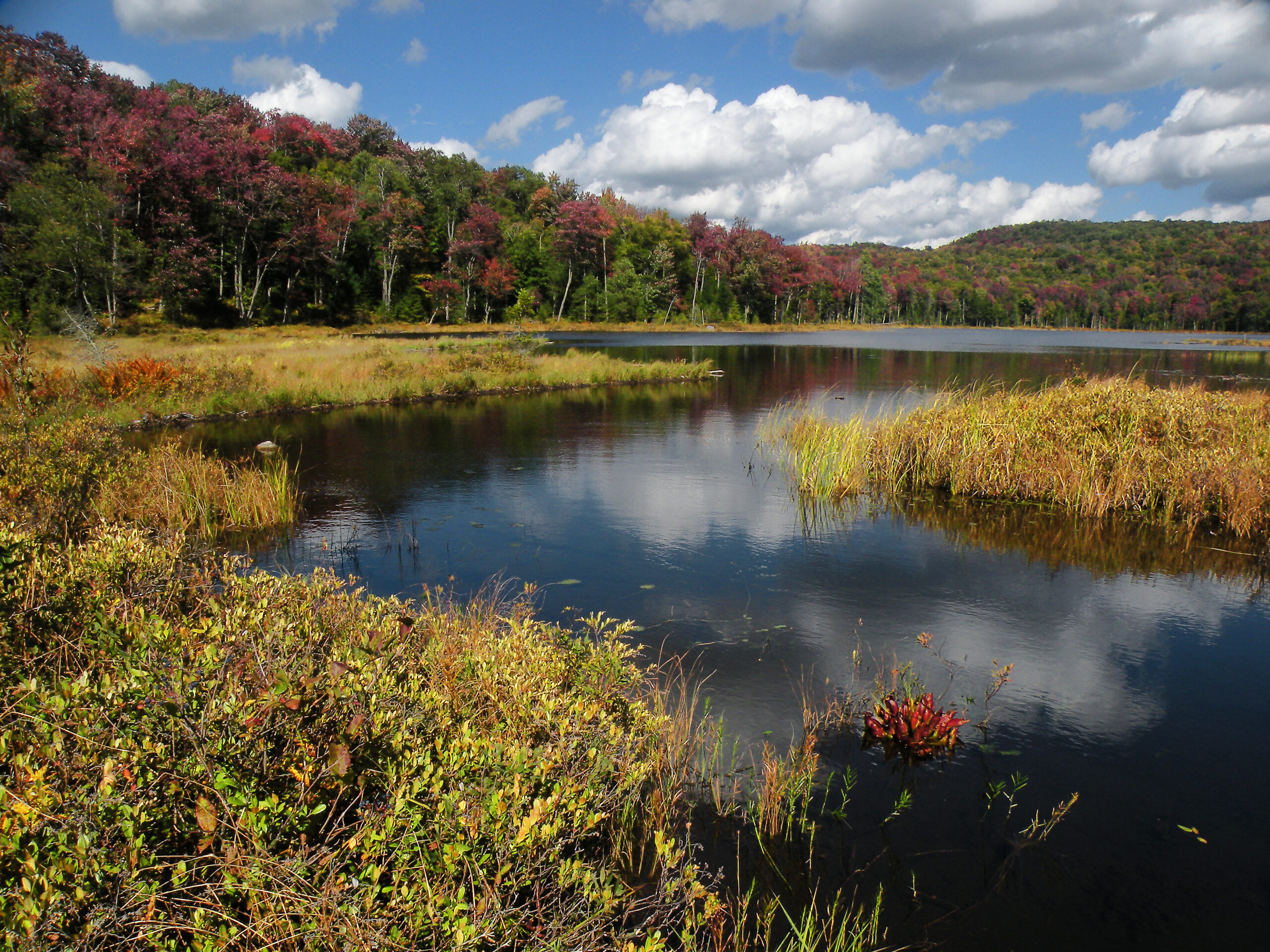
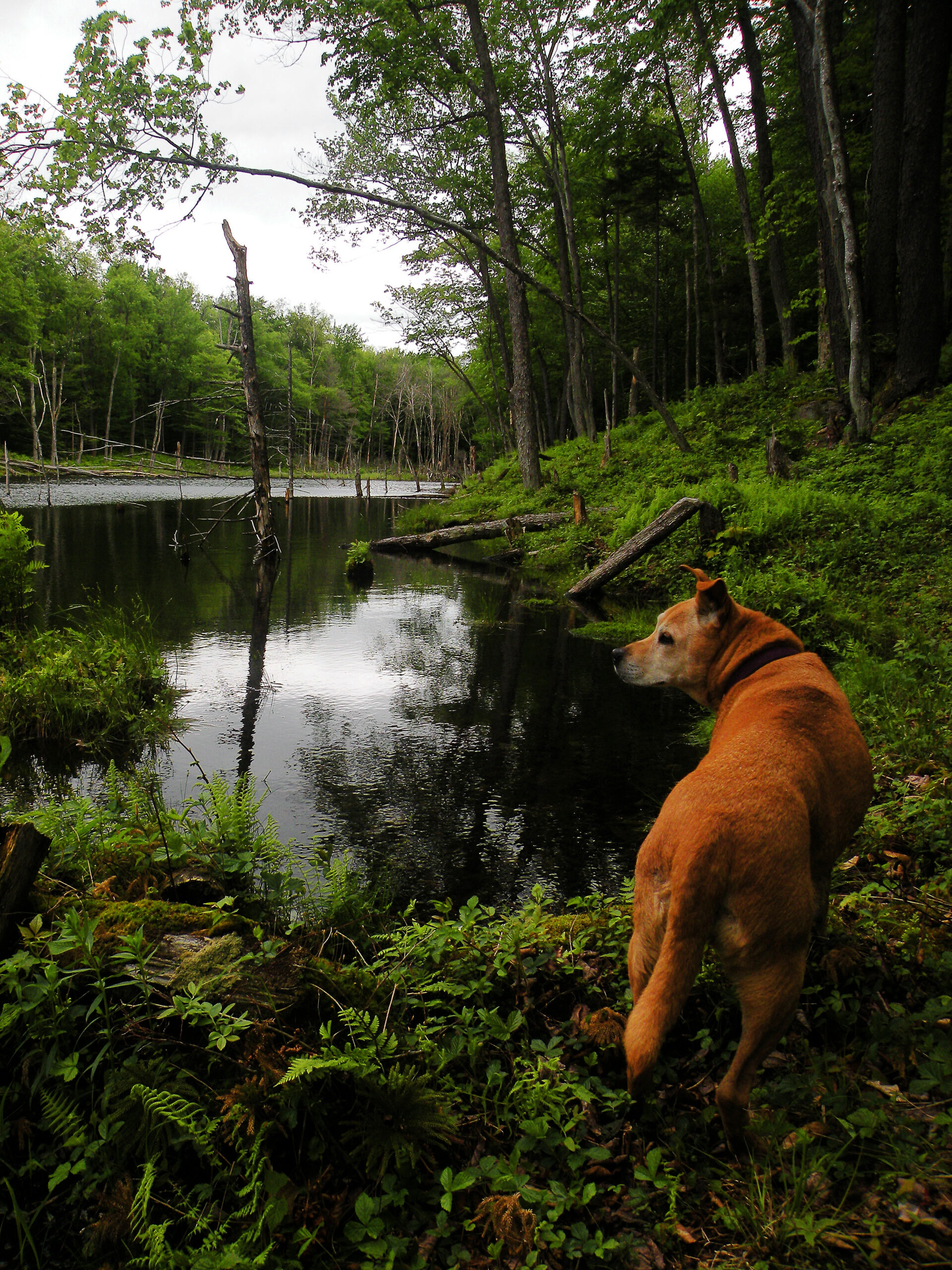
The best known of these features are Middle Settlement Lake, a small pond with rocky ledges at various points along its shoreline, and its near twin Middle Branch Lake. If there is any characteristic that distinguishes these ponds from a typical Adirondack body of water, it’s the lack of a barrier of thick hardwoods along the shoreline. Sure there are pines, spruces, and hemlocks here and there at the water’s edge, but open hardwoods account for much of the shoreline. This is unheard of in the deeper backcountry of the central Adirondacks.
Many of the ponds, including Middle Branch and Middle Settlement, are augmented by seemingly permanent beaver activity; older topographic maps show Middle Settlement as being much smaller, but the long beaver dam on its outlet has been sustaining a steady water level for decades. Do the beavers also play a role in sustaining those open hardwood forests along the shoreline? It certainly seems likely.
These larger ponds are what most people remember after a visit to Ha-de-ron-dah, but a few of the smaller ones are worth seeking out as well. Secluded little Rock Pond, with its whopping five acres, is one of the most distinctive of all with its namesake ledges and talus slopes.
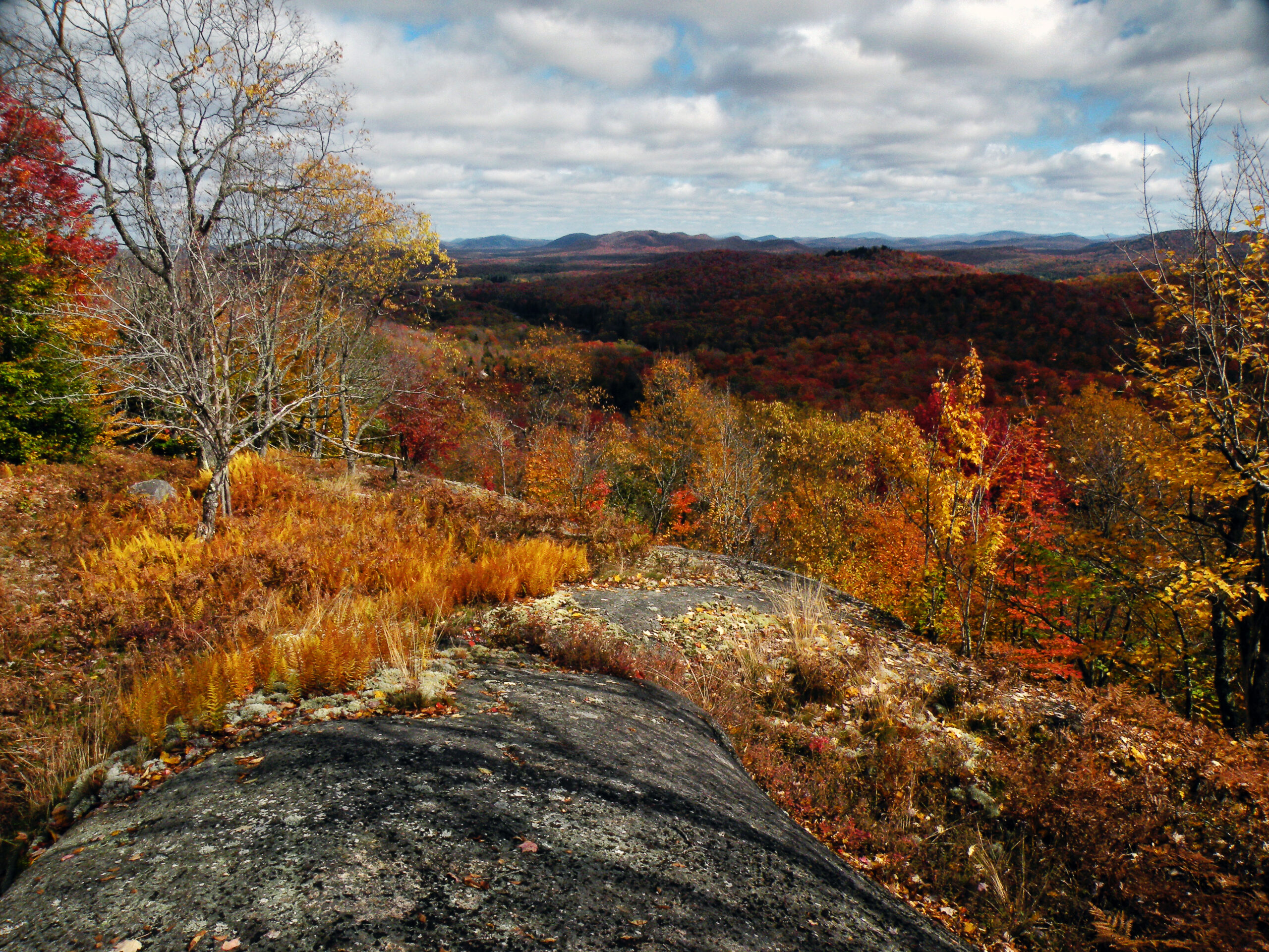
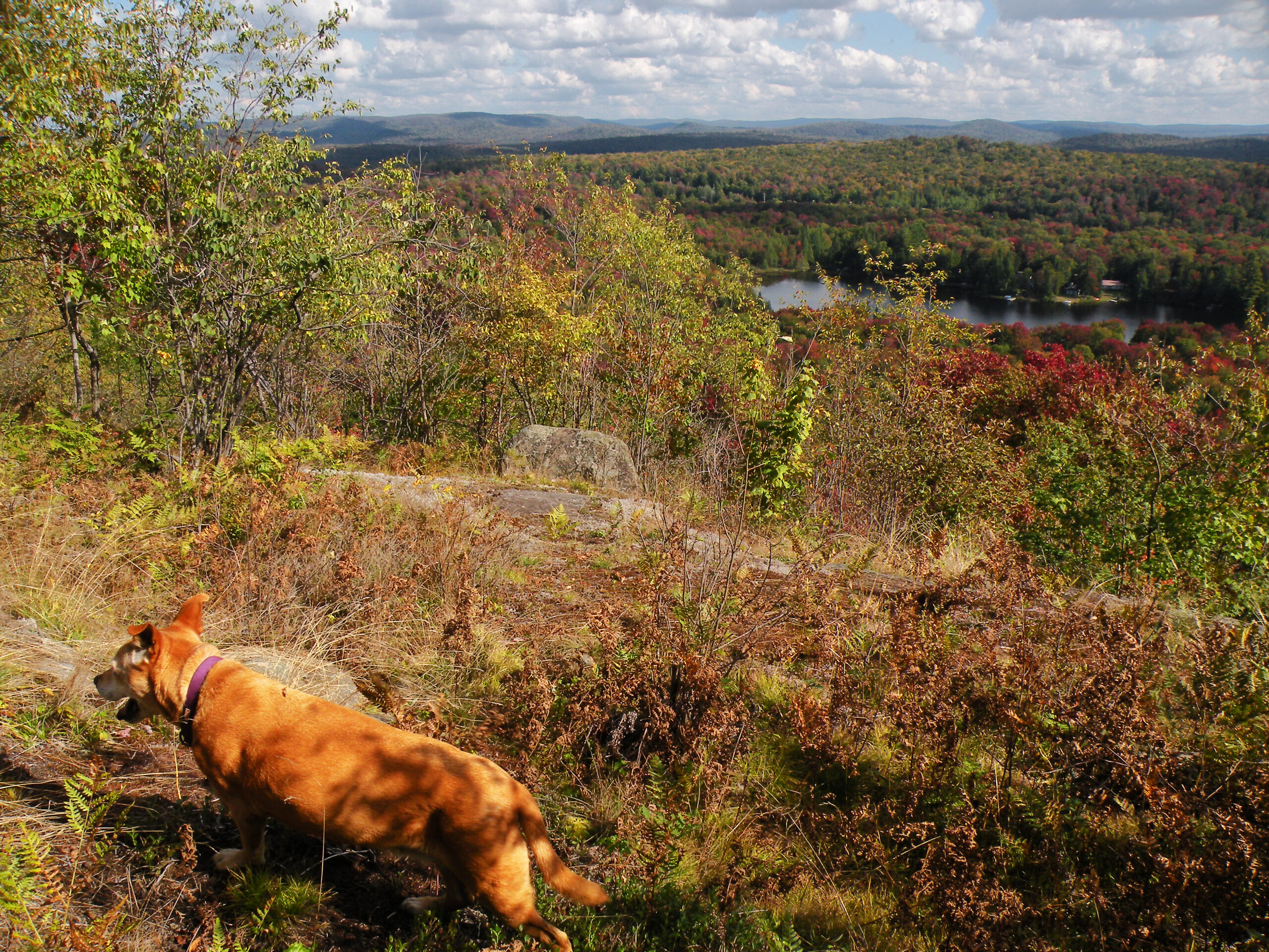
Ha-de-ron-dah is hardly “flat,” but even its highest point can’t really be considered a mountain. This is a gently rolling landscape, with more than a few rocky ridges but no soaring summits. The highest point, Moose River Mountain, is a gentle bump on the horizon with a wooded summit. Six Mile Hill and Quarry Mountain both have openings, but only Coal Hill has anything even vaguely resembling a “peak.” No, this wilderness is hardly an alpine environment!
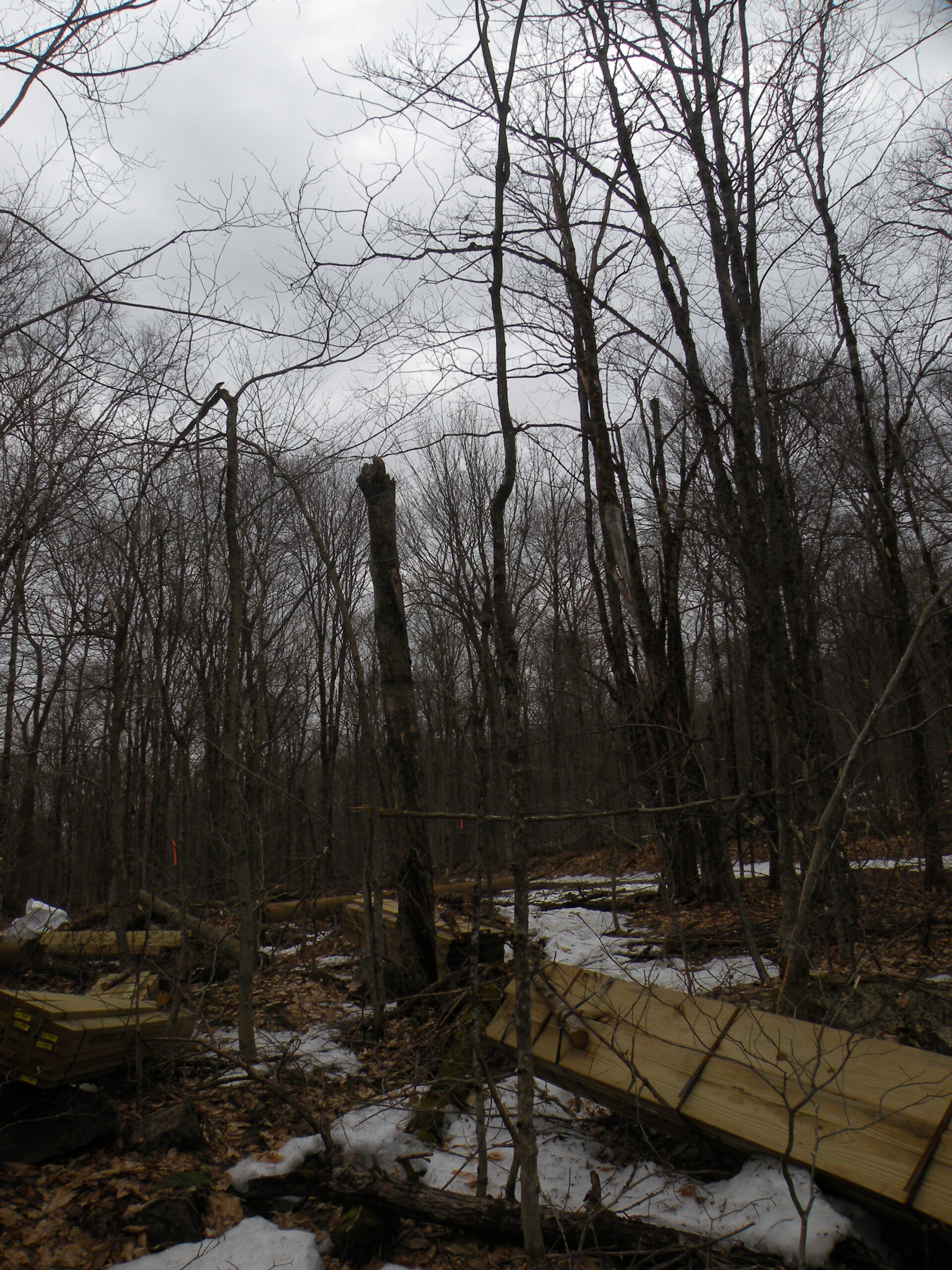
In terms of forest cover, much of Ha-de-ron-dah is cloaked with second-growth hardwoods, with pockets of softwood in the wetter valleys. True old growth is almost non-existent, thanks in part to the 1903 forest fire and to the small mills that once existed near its western boundary, using this forest as sources of lumber. However, recovery from these events is far along that most people may not notice the effects anymore, all these decades later.
But if there is one lingering legacy from 1903, it’s the presence of stately black cherry trees throughout the forest fire footprint. These trees, whose namesake fruit grow well out of reach of humans, are native to the Adirondacks but require abundant access to sunlight to flourish. In places one may still find pure stands of black cherry, with an understory only of ferns. However, as the years progress and natural forest succession has its way, new growth is slowly penetrating even these stands.
Streams are numerous, but they tend toward the small-to-moderate side of the size scale. The largest stream is the two-mile section of the Independence River, which cuts through the northernmost corner of the wilderness — but so far from the nearest marked trail that the average visitor never comes anywhere near it.
Although small and unpresuming, Ha-de-ron-dah is easily among the most storied areas in the Adirondack Forest Preserve. The list of historical figures who have passed through this place is impressive – as is the fact many of them wrote about their visits in descriptive detail. These include Thomas Bangs Thorpe, the nineteenth-century humorist; Horatio Seymour, a state governor and erstwhile presidential candidate; Lady Amelia M. Murray, maid of honor to Queen Victoria; and George Washington Sears, a writer better known by the penname Nessmuk.
Various other officials and travel writers passed through the region now known as Ha-de-ron-dah, and detailed descriptions of the area as it was perceived in the nineteenth century can be found. Only the High Peaks inspired a greater flurry of wordsmithing
These people weren’t necessarily coming to fish the ponds. Actually, they passed through Ha-de-ron-dah because in the nineteenth century the main road to the Fulton Chain region, known then as John Brown’s Tract, passed through this area. Originally constructed in 1811, Brown’s Tract Road began at the Moose River Settlement and led northeast to the settlements that eventually became Thendara and Old Forge.
Even during its heyday, Brown’s Tract Road was universally regarded as an arduous route, easier to walk than to ride in a wagon. Likely there is some amount of exaggeration in these written accounts, because the region today is hardly forbidding. But none of the written descriptions of the road had anything good to say about it, as if it were a literary requirement to knock its condition.
Eventually the road was replaced altogether with the advent of automobile travel, when the original version of Route 28 was paved shortly before World War I. Now the former wagon road is known simply as Brown’s Tract Trail – a wilderness trunk trail with which several other hiking trails intersect.
The surrounding landscape was likely always wilderness, accessible only by foot even in the nineteenth century; guidebooks of the time describe, in vague detail, the footpaths leading to Middle Settlement Lake and other features. The exception to this, though, was the area immediately adjacent to Thendara, which had been all but denuded earlier in the century. The trees here had been felled circa 1817 – 1819, used to manufacture charcoal that in turn fueled a nearby iron works. The iron mine itself was located just outside today’s wilderness boundary, near what is now the Thendara train station.
Major changes came soon after the turn of the twentieth century, however. The spring of 1903 had been alarmingly dry; from April 17 to June 7 only trace amounts of rain fell in the North Country, making conditions ripe for fires. Indeed, from April 20 until June 8 over 600,000 acres of Adirondack forest were burned in what was undoubtedly the region’s worst fire season. A report published by the federal Bureau of Forestry in 1904 claimed there had been thousands of fires burning in the Adirondacks that spring, many of them relatively small but with several exceeding 10,000 acres in size.
A variety of causes were suspected, including arson in certain instances, as well as smudge fires built by fishermen seeking protection from black flies. The most common culprits, however, were sparks emitted from locomotives. The report charged that the railroad operators had not only been indifferent to the danger, they had flaunted it by running heavy loads of freight that resulted in greater amounts of exhaust. The author considered this an “inexcusable negligence,” since existing state laws required locomotives to be equipped with spark arresters.
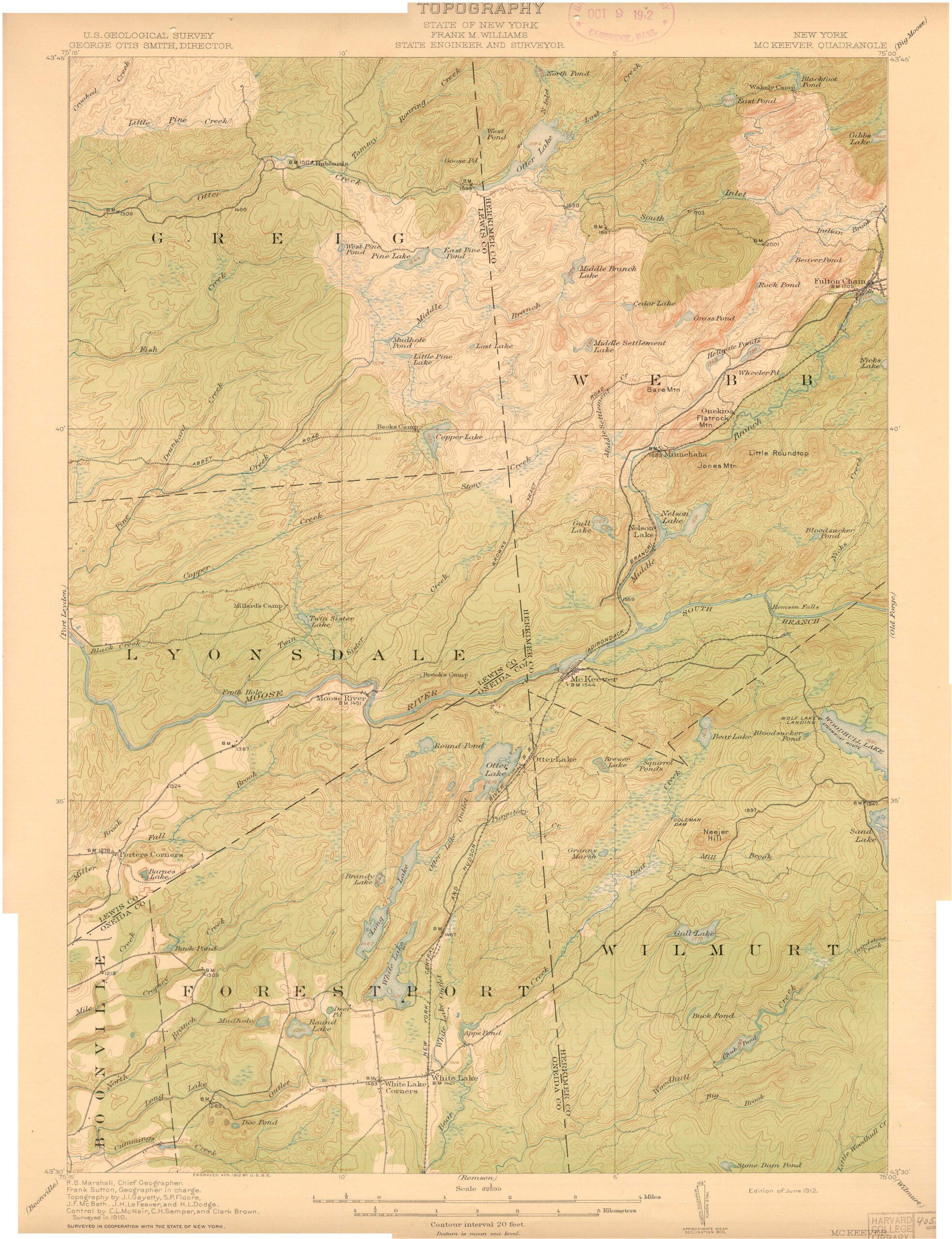
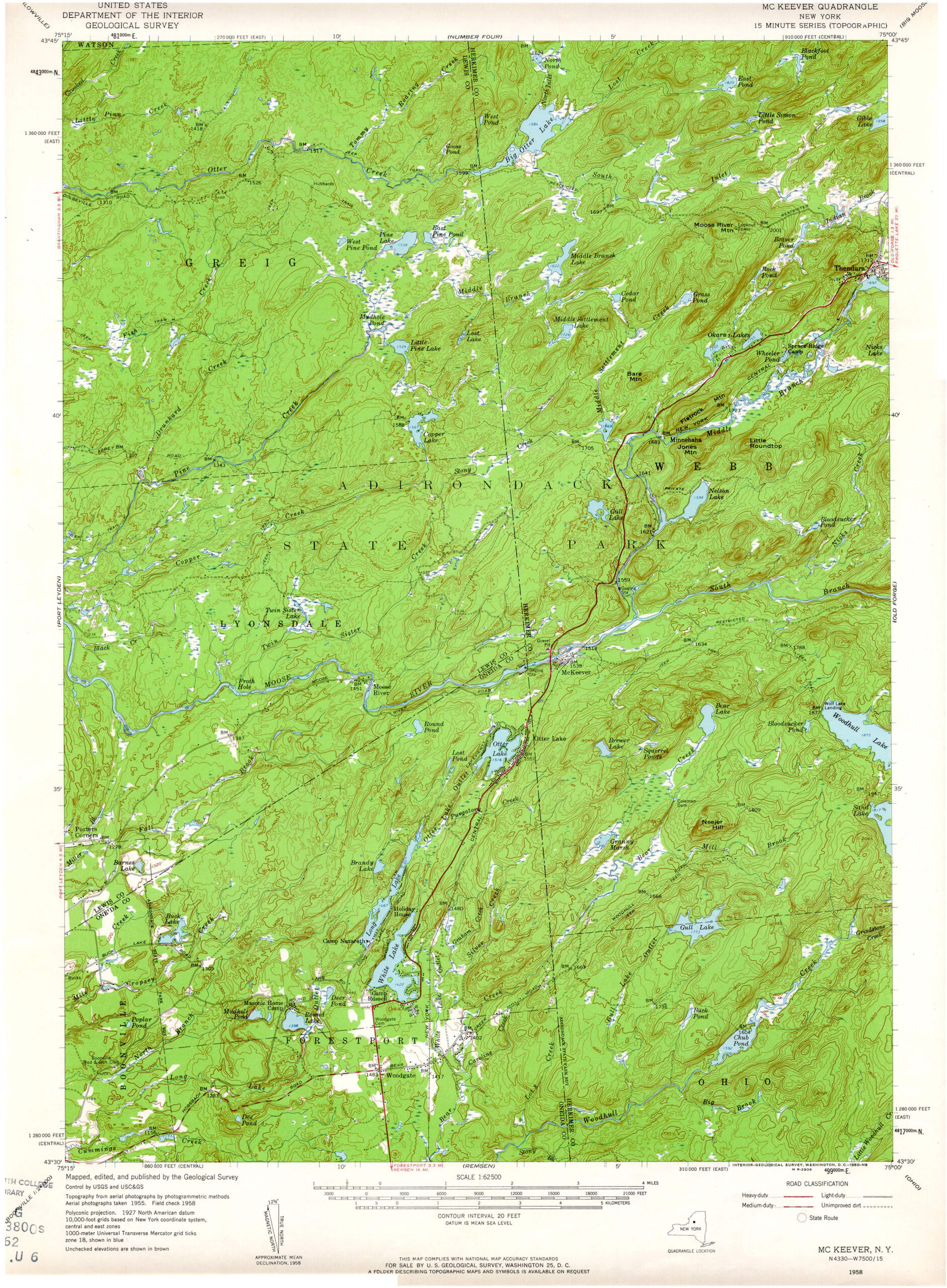
The Adirondack Railroad alone triggered several fires in the western woods, including one west of Old Forge that burned parts of Townships 1, 2, and 7 of John Brown’s Tract. It likely started in the vicinity of Minnehaha and Onekio, and then fanned northeast and northwest in two separate thrusts. The narrower northeastern arm extended to the hills near East Pond before eventually dying, but the northwestern arm laid bare a wide swath of forest. Judging by the 1912 USGS McKeever Quadrangle, the expansion of this fire was not hindered until it reached the natural obstacles of Otter Lake, Otter Creek, and South Inlet. The Bureau of Forestry estimated the extent of the entire fire to be 10,000 acres; later estimates placed it at 25,000 acres.
Much of this land had until recently been owned by Julia Lyon deCamp, who in 1886 inherited it from her father, Lyman Lyon. Her holdings extended from Middle Settlement Lake in the west to First Lake in the east, and it included Nicks Lake and several miles of the Moose River. In 1893 she had designated the tract a private preserve, partitioned into four regions called Wilderness Park, North Park, South Park, and East Park. A report by the state’s Forest Commission that same year, a decade before the fire, described the property favorably, stating that the “greater part of the land is well timbered with an almost primeval forest containing various species of hard and soft timber.”
Wilderness Park and North Park were the sections most impacted by the fire. Roughly a third of North Park was burned, and only a few patches of Wilderness Park escaped unscathed. In 1909 Julia deCamp’s son and heir, Lyon deCamp, sold these burned areas to the state. This acreage included Middle Settlement Lake, Grass Pond, Blackfoot Pond, and several miles of Brown’s Tract Road.
Lyon deCamp was also a developer with a penchant for Indian names – “Thendara” and “Okara” were his gifts to the local nomenclature, even if it is doubtful these are genuine words in any indigenous language. The name “Ha-de-ron-dah Wilderness” was not bestowed until many decades later, but it seems likely that this was at least a tribute to deCamp, even if it wasn’t one of his own inventions.
In the nineteenth century, “Ha-de-ron-dah” was popularly believed to be the native word that European settlers corrupted into “Adirondack.” The usual translation is “bark eater,” and it refers to the story of an Algonquin attack on the Iroquois. According to the version told by Alfred Billings Street in 1869, the attackers were repelled and driven north through the eastern Adirondacks where they sued for peace. This was granted by the Iroquois, “who taunted them by saying that they had become so weak and powerless they could not kill game but had been forced to eat trees.”
The Iroquois in this story were most likely Mohawks, who were also known to eat bark during severe winters. It should be noted that the Mohawk spelling of “bark eater” is ron de ron deh, pronounced “lon-de-loon-deh.”
Under state management, the only non-wilderness uses that occurred in this area were one fire tower (Moose River Mountain) and one truck trail (the Big Otter Trail).
The fire tower was a steel structure built in 1919 to replace a wooden one erected seven years prior in Lewis County. That first tower had been called the Moose River Observation Station because of its location between McKeever and Port Leyden, but its low elevation afforded an inferior view. When the station was moved to this higher location near Thendara, the name was transferred with it — and thus this previously unnamed hill became Moose River Mountain. The structure was removed in 1977, after the area received its wilderness classification.
The Big Otter Trail was converted into a state fire truck trail in the 1930s by the Civilian Conservation Corps, who maintained a camp near the trailhead in Thendara. The route was a repurposing of prior logging roads that led through the same general area, providing a through route connecting Thendara with the Brantingham region. Although it has been closed to motor vehicles for half a century, it remains a tempting target for so-called “trail poaching.”
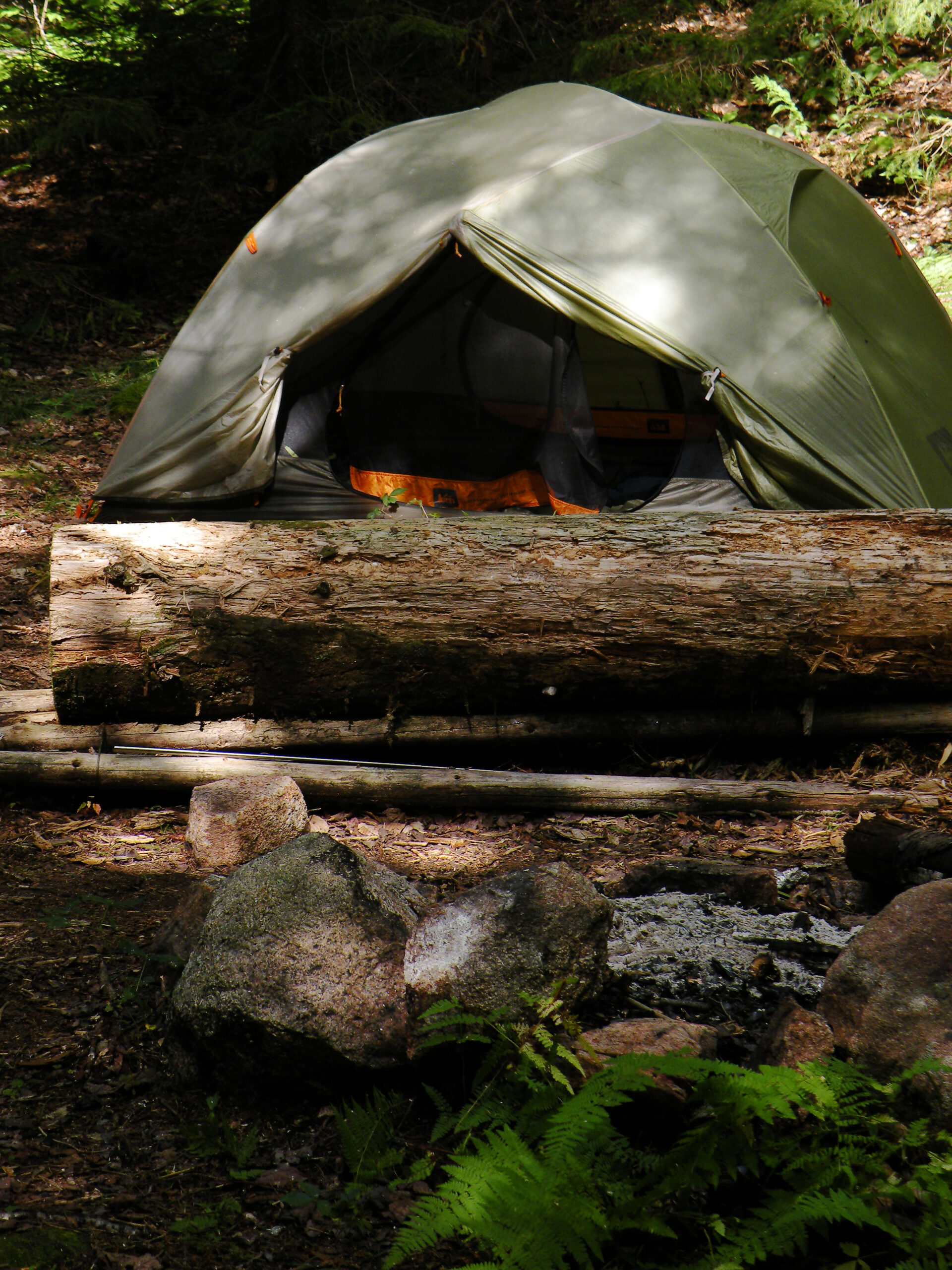
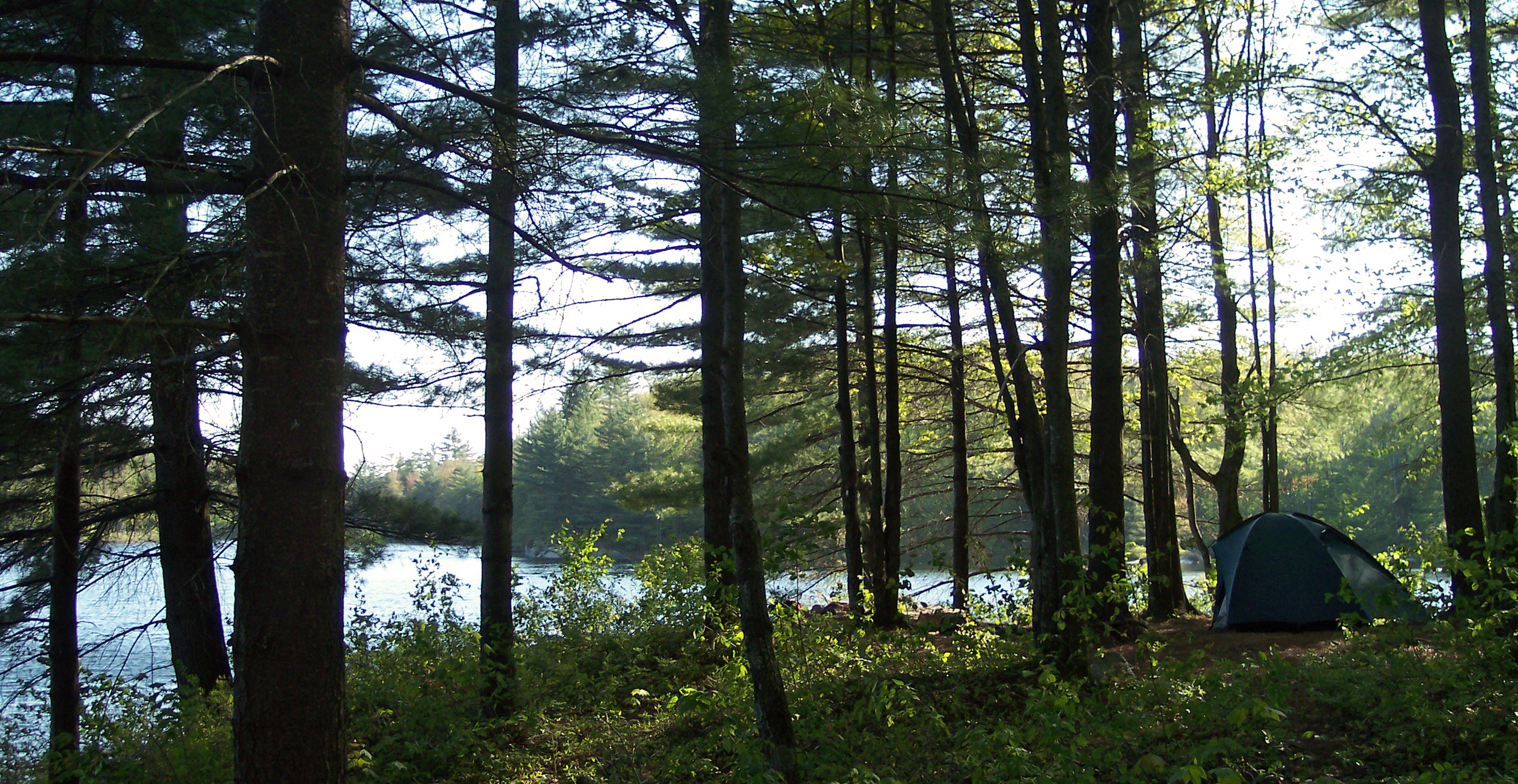
With 35 miles of trail, Ha-de-ron-dah is a very recreation-friendly wilderness. No one accuses this place of being the victim of overuse, although much of the visitation that does occur seems to focus squarely on Middle Settlement Lake, with its scenic lean-to perched atop a rock ledge. Indeed, this may be among the Adirondacks’ most quintessential campsites – the prototype upon which all others are based. This is not really the case, but the site is so pleasing it is hard to believe otherwise.
From a wilderness management perspective, there is a flipside to Middle Settlement’s popularity: an unhealthy campsite density, suggesting more than a few late arrivals intending to camp at the lean-to have settled for alternate sites elsewhere on the shoreline. In addition to the log shelter, there are two designated tent sites – but a nosy explorer may discover several times as many fire rings, some well used, others the visible artifacts of one-off campsites long since forgotten.
The next busiest destination is Middle Branch Lake, which in many ways is identical to Middle Settlement but buffered by a few additional miles of remoteness. There is a lean-to here as well, albeit constructed of pre-fab “logs.” In the old-school tradition, both lean-tos are situated just a few short strides from the waterbodies they overlook.
Elsewhere, camping pressure is very light; designated sites can be found at East Pond, Big Otter Lake, Pine Lake, and a few random spots along the Big Otter Trail – but nowhere else. This distribution seems to suit the public demand, which is addicted to Middle Settlement but shows only intermittent interest in the other areas.
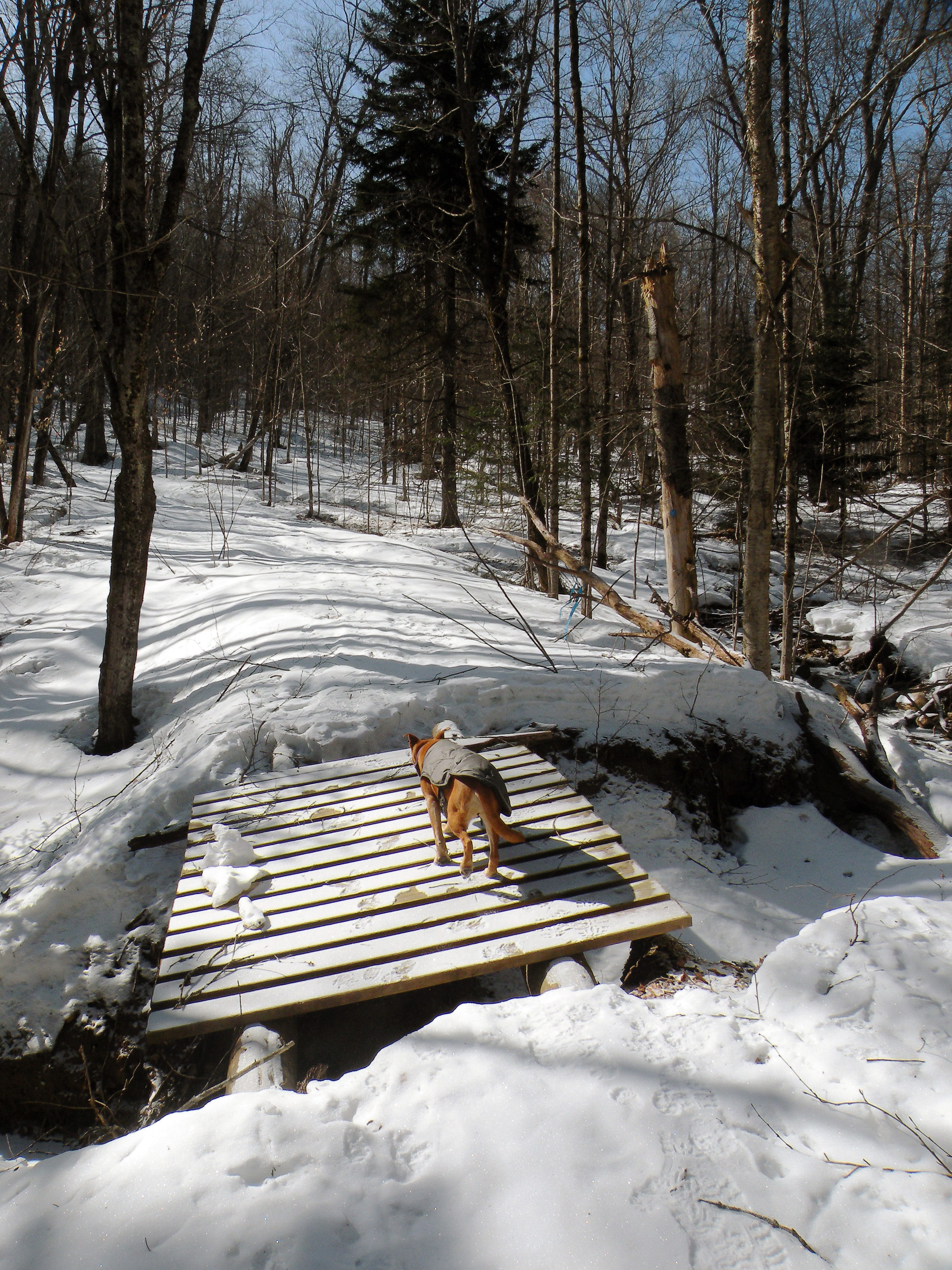
The only multi-use trail in the area is the Big Otter Trail, a former fire truck trail that is now a designated horse and ski trail. Once a well-built road connecting Thendara with Brantingham, it remains a tempting target for “trail poachers” – including ATVs and mountain bikes that theoretically have no business being here. However, among the trail’s permitted uses are sportsmen who use the route to access the interior with their gear loaded on pushcarts; the privy at Middle Branch Lake was also hauled into the woods in this manner in 2008 by local volunteers.
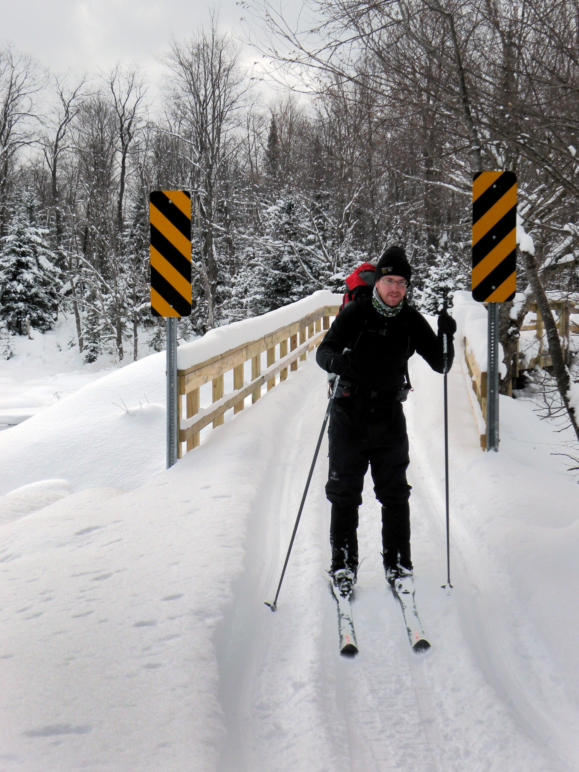
Opportunities for winter exploration are excellent. A combination of two factors lead to this assessment: reliable snowfalls and accessible trailheads. Although no snowmobile trails penetrate the area, they do all but encircle it – and the distant machines can often be heard even at remote destinations such as Middle Settlement Lake. This should hardly be regarded as a deterrent, however, as few wilderness areas offer up their wintry secrets as readily as Ha-de-ron-dah.
Mountain views are rare but not completely absent. A ledge near the east end of Middle Settlement Lake used to be a short, popular climb until the surrounding forest grew up and obscured the view. Now the only summit vistas can be found at places like Coal Hill, Quarry Mountain, Cross Hill, and Six Mile Hill – names you will not find on any topographic map. These are spots bared by the 1903 fire and other human activities, and none are reached by a marked hiking trail.
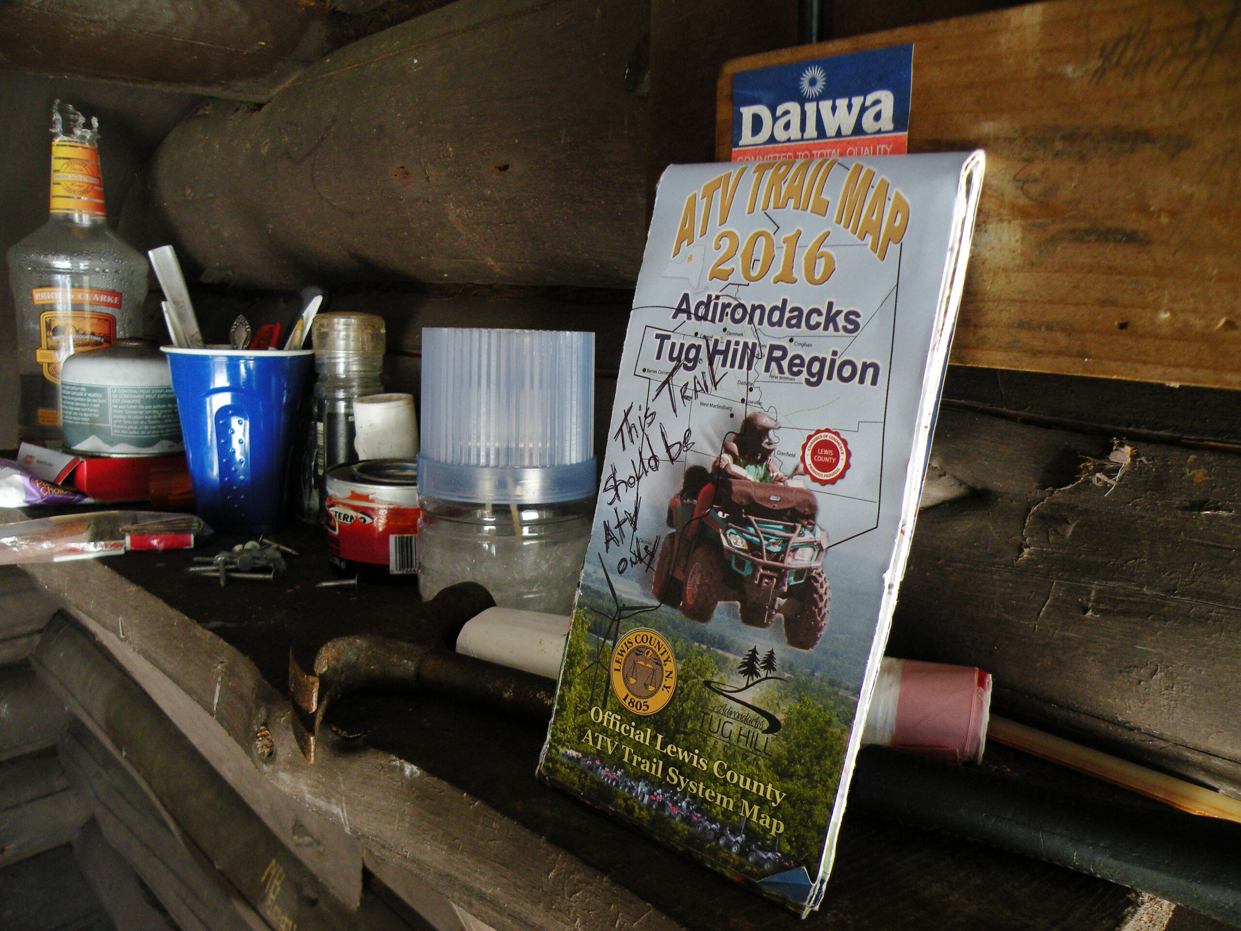
In a way, Ha-de-ron-dah is a wilderness besieged by motorized recreation – some of it legal, in the form of snowmobile trails just outside its boundaries, and some of it not so legal, especially in regards to the frequent ATV use that occurs in the neighboring Independence River Wild Forest.
State land planners established the wilderness boundaries in 1972 to protect the core roadless area while accommodating established non-wilderness uses to the west. The pragmatism behind this scheme aside, the result is an ongoing vulnerability to motorized trespass all along Ha-de-ron-dah’s western boundary. For instance, a well-used local snowmobile trail skirts the edge of Pine Lake in Lewis County; the lake is in the wilderness, and the trail defines the management boundary. There are several places here where nothing but a sign nailed to a tree prevents a machine from leaving the trail and crossing the protected lake.
For several years, this was a non-issue because a key bridge over the outlet of Big Otter Lake was in disrepair and closed to all but foot traffic; during this period, few riders bothered with the trails along the Ha-de-ron-dah boundary. Of course, when the bridge was replaced it reopened the area to motorized access – and removed the only physical barrier to the western end of Ha-de-ron-dah’s Big Otter Trail.
This is an example of impractical boundary, one that perhaps makes sense on a trail map but is impossible to enforce in practical experience. Remote boundaries in close proximity to motorized trails invite trespass – and even if the volume of that trespass is light, any number greater than zero is a problem. A reexamination of this boundary could yield an improved experience for both user groups and result in a better-protected wilderness.
The Big Otter Trail has factored into other wilderness management concerns. Since 2017 we have been monitoring a state project to replace four washed-out culverts along the former truck trail with wooden bridges. While not alarming on the surface, we were concerned by the three proposed drop-zones DEC planned to create to facilitate these projects. By engaging directly with DEC and other stakeholders, we were able to convince the state to consider other delivery methods for all but one of the work sites. To learn more about this effort, click the “Wilderness Drop Zones” link below.
The following links leave the AWA website and take you to various pages on the Department of Environmental Conservation (DEC) website with more information on the Ha-de-ron-dah Wilderness.
Ha-de-ron-dah Wilderness Information Page. Learn important contact information and peruse a list of facilities.
Backcountry Information for the Southwestern Adirondacks. Trail conditions updated weekly for the Ha-de-ron-dah Wilderness and neighboring areas.
Ha-de-ron-dah Wilderness Unit Management Plan (1995). Download DEC’s official management plan, approved in 1995.
State Land Regulations. Review the complete list of DEC regulations.
All photos © Bill Ingersoll. Site visitors are permitted to download an unlimited number of images from our website for personal, educational, scientific, or professional use only, with attribution. Commercial use and further distribution of images is prohibited without express written permission.


