
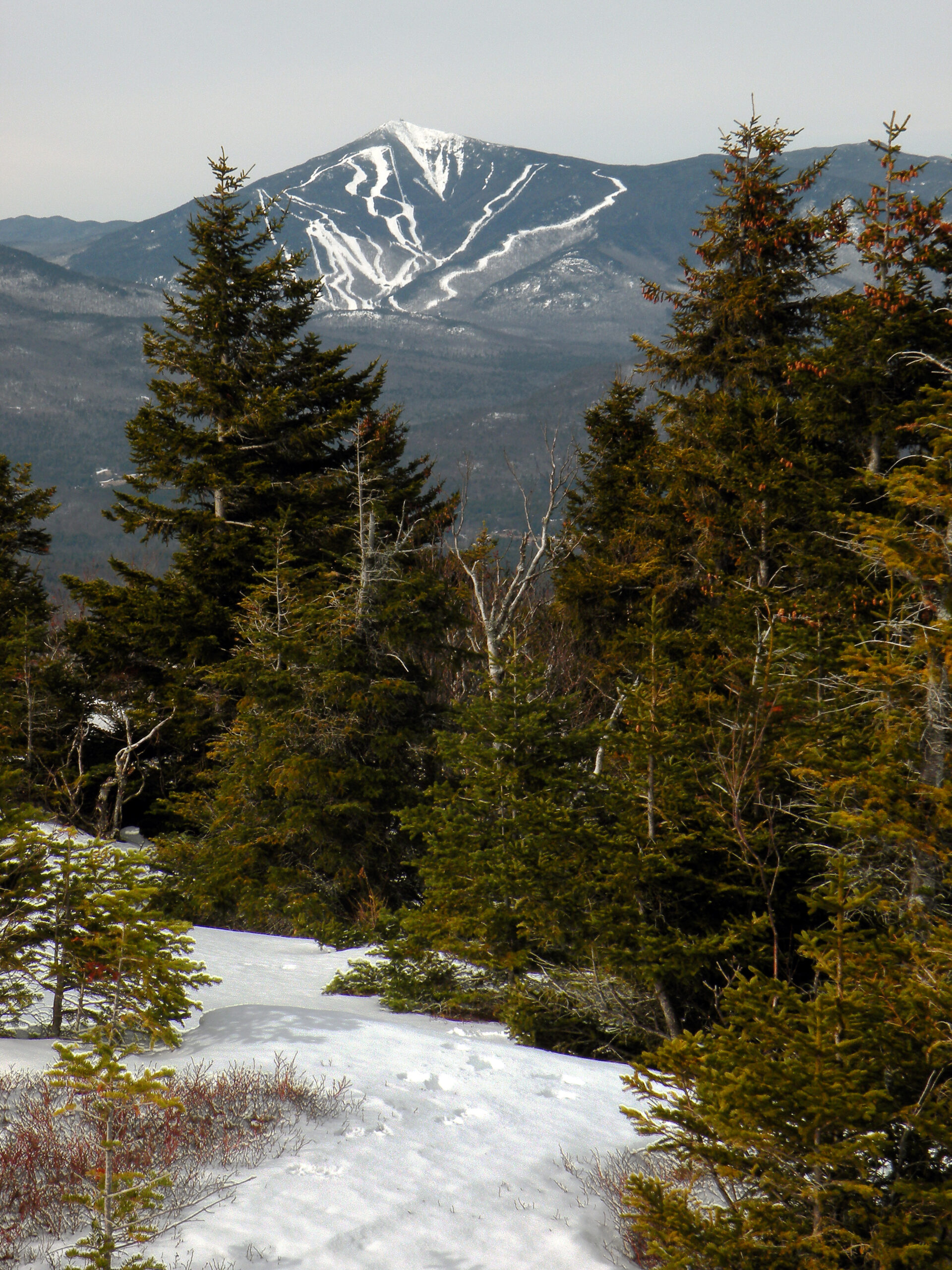
Whiteface View

The smallest protected wilderness in the Adirondacks offers some of the biggest mountain adventures. At a mere 7,896 acres, Jay Mountain is a fraction of the size of most other areas, yet this rugged little landscape more than earns its wilderness status.
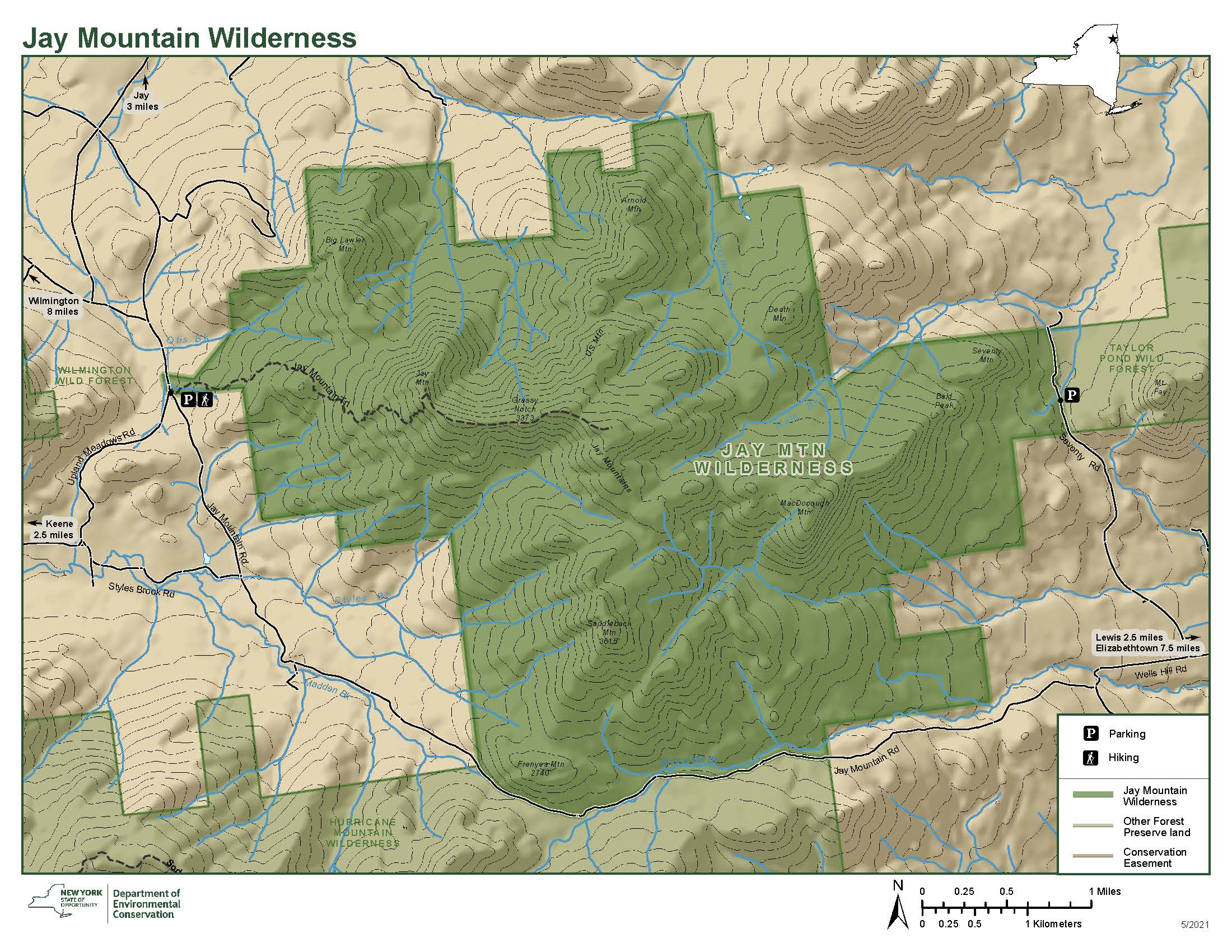
Designated in 1985, the centennial year for the Forest Preserve, the Jay Mountain Wilderness is exactly what its name says it is. It includes all of the summits of its namesake range, as well as most of the foothills, although its boundaries extend no farther than Seventy Lane and Jay Mountain Road. There is not a tremendous amount of terrain variety — no waterbodies, no rivers, few significant wetlands, no shadowy gorges. Instead, here it’s all about the mountains.
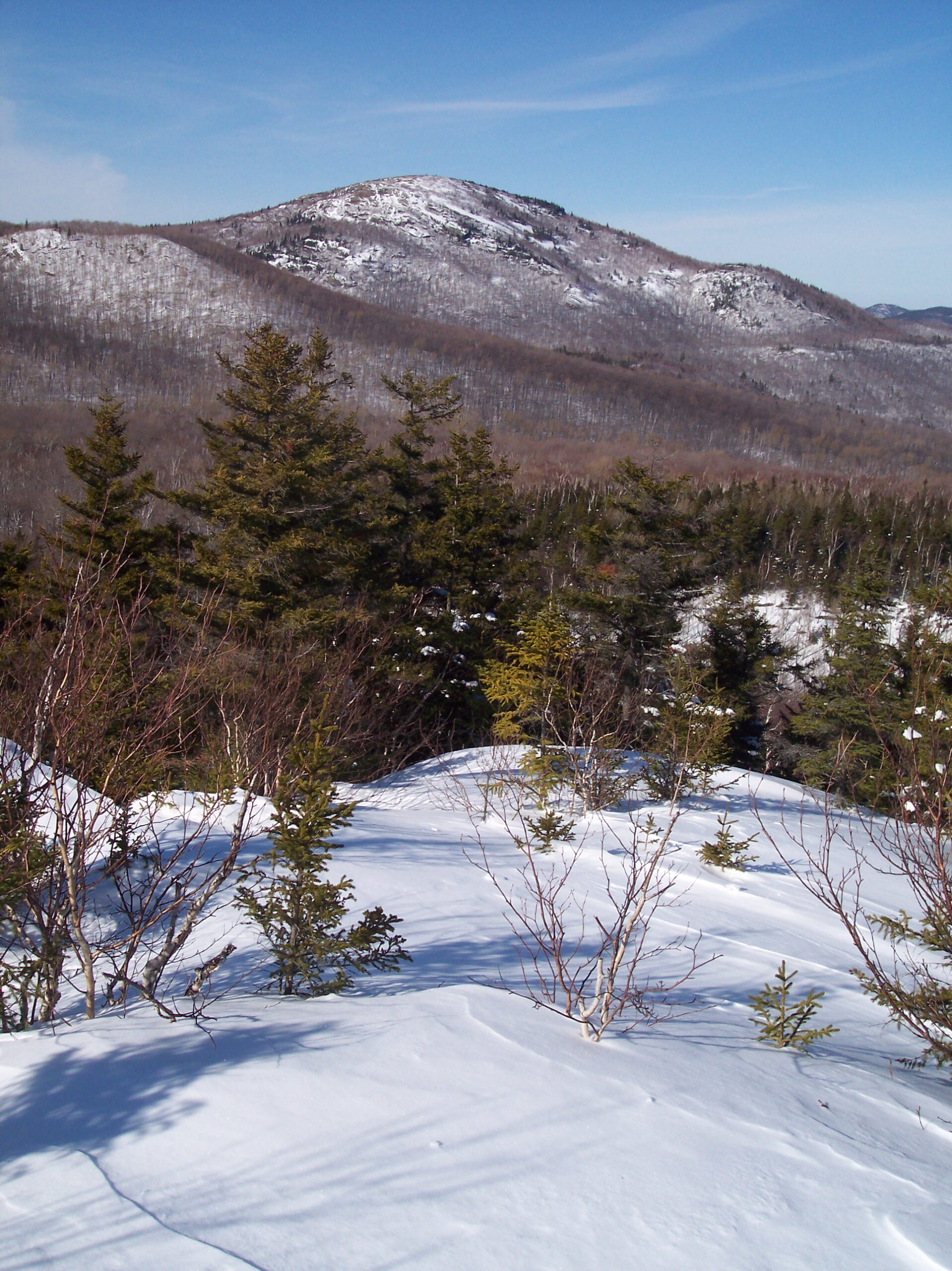
Not that any visitors feel short-thrifted, for the mountains of the Jay Range are exquisite places to explore — although, ironically, we have the area’s human history to thank for today’s enormous vistas. Like the neighboring Hurricane Mountain Wilderness to the south, Jay was logged extensively throughout the nineteenth century, first for sources of charcoal to fuel iron forges, and later for pulpwood to feed newspaper presses. Presumably no portion of the future wilderness was spared from these activities. And then indignity came again in 1908 when the entire range was over-swept by fire, resulting in the large bald summits seen today.
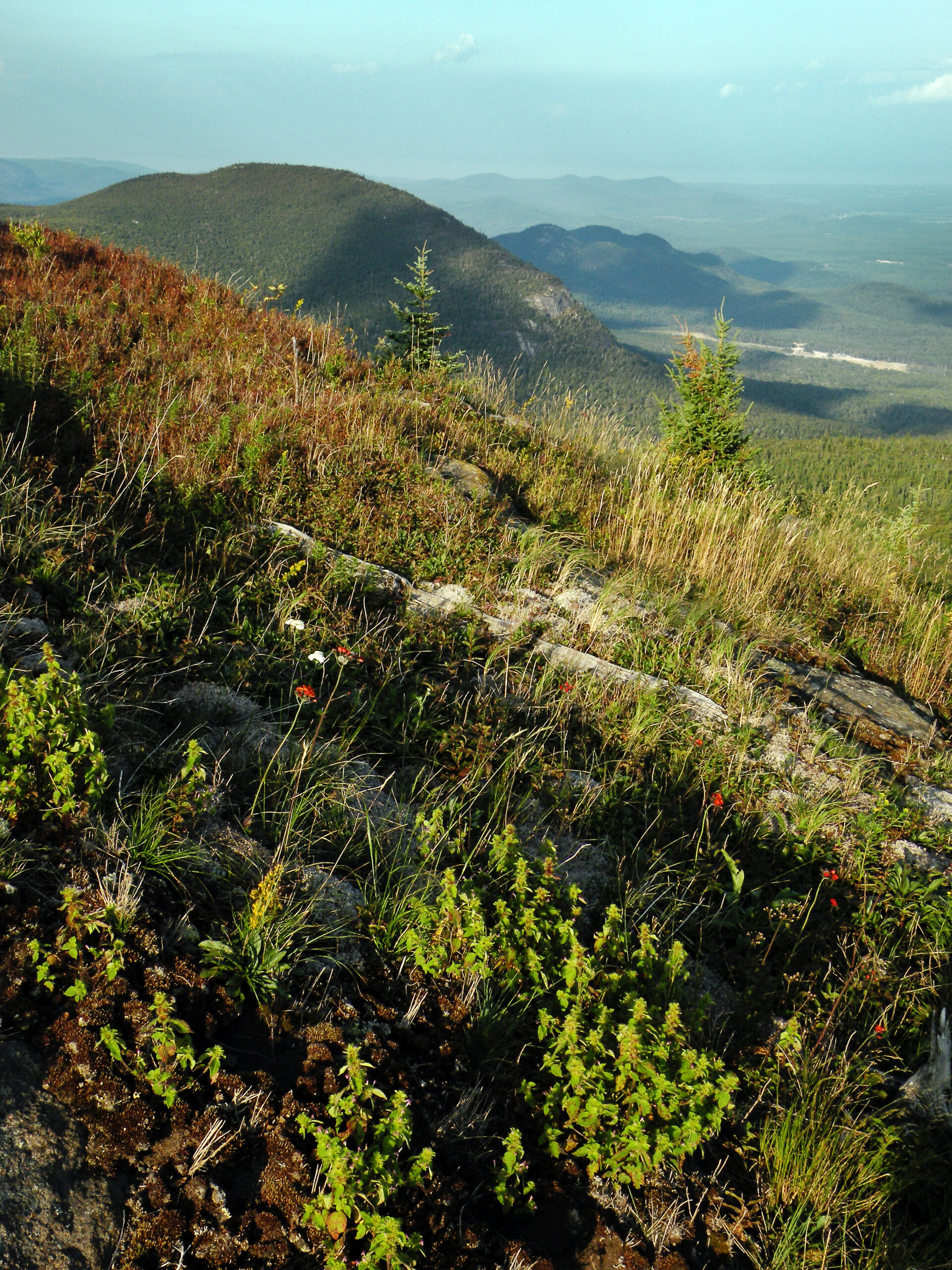
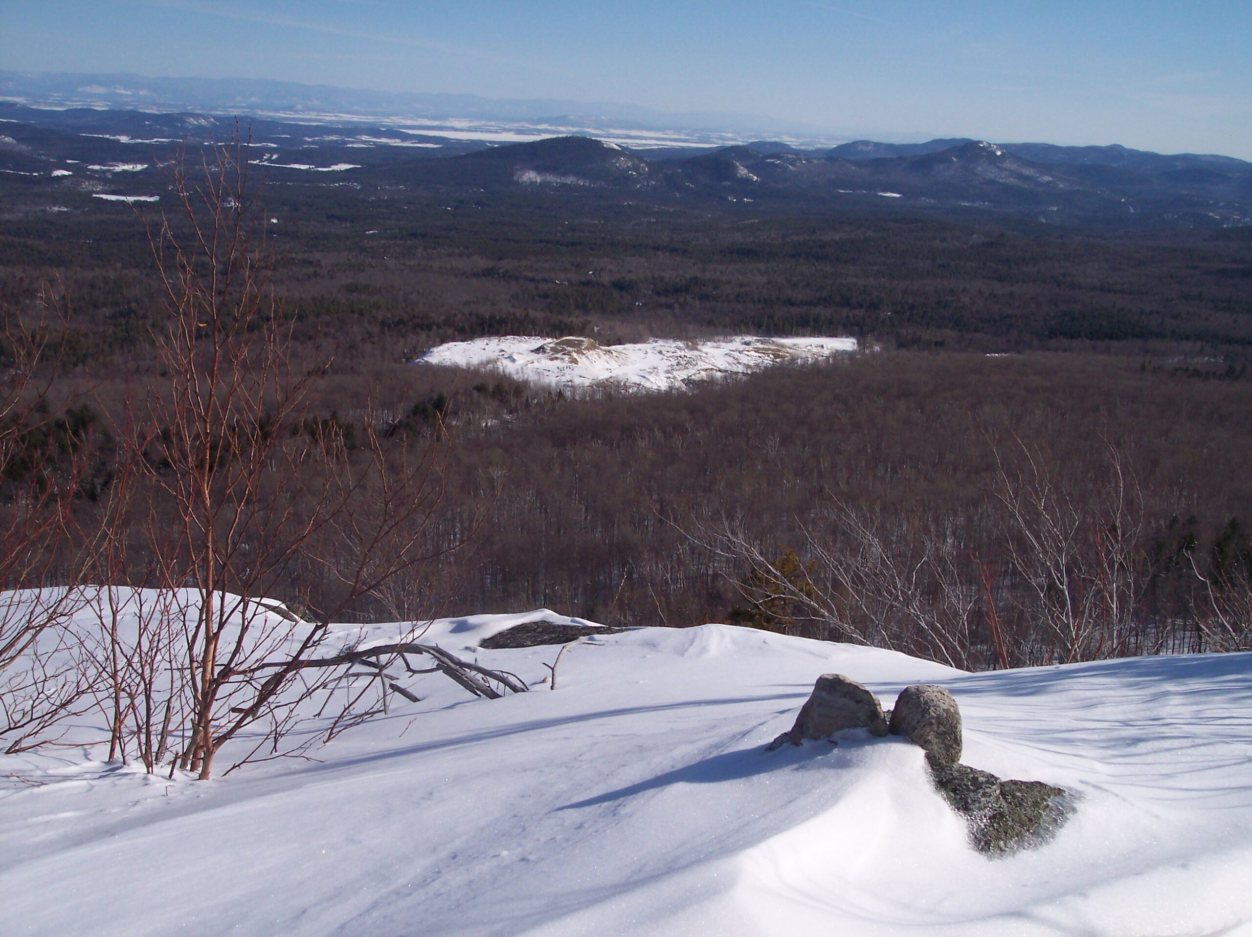
These bald areas are what thrill most visitors in the current century; a hike along the ridgeline is nothing short of exhilarating, under the right weather conditions. Almost every named summit can be counted upon to offer a view, usually more than one. And while Jay’s history is not entirely unique, its position east of the High Peaks (with its relatively drier climate) gives the wilderness a distinctive aspect.
Please click through the tabs below to learn more about the Jay Mountain Wilderness.
Size: 7,896 acres
First Designated: 1985
Unit Management Plan Status: Completed in 2010
Special Regulations: None; standard Forest Preserve regulations are in effect


It would be easy to mistake the open summits and ridgelines for alpine habitat, but these mountains were bared by axes and flames, not just by glaciers. No one can say what the Jay Mountains were like before their softwoods were claimed by the J & J Rogers Company of Ausable Forks, and perhaps there was some natural baldness during the area’s pre-history, but today’s landscape was heavily influenced by past human activities — perhaps more extensively than any other area.
Rather than dwarf vegetation orphaned by the retreating post-glacial tundra, the open areas of the Jay Range are populated by far more familiar plants: goldenrods, grasses, and a host of other herbs more familiar from an ordinary open meadow. And that is just where the soils were not burned away; otherwise all that remains is bare rock, where precious few plants, mosses, and lichens can make a living.
The summit meadows feel native to the mountains, not like byproducts of industrial ruin. They somewhat resemble the open parklands found in mountain rages across the Western U.S., thus by Adirondack standards they seem almost exotic. And unlike the alpine summits of the High Peaks, these have no concern for elevation; they grace the highest summits and the lowest foothills without favoritism or prejudice.
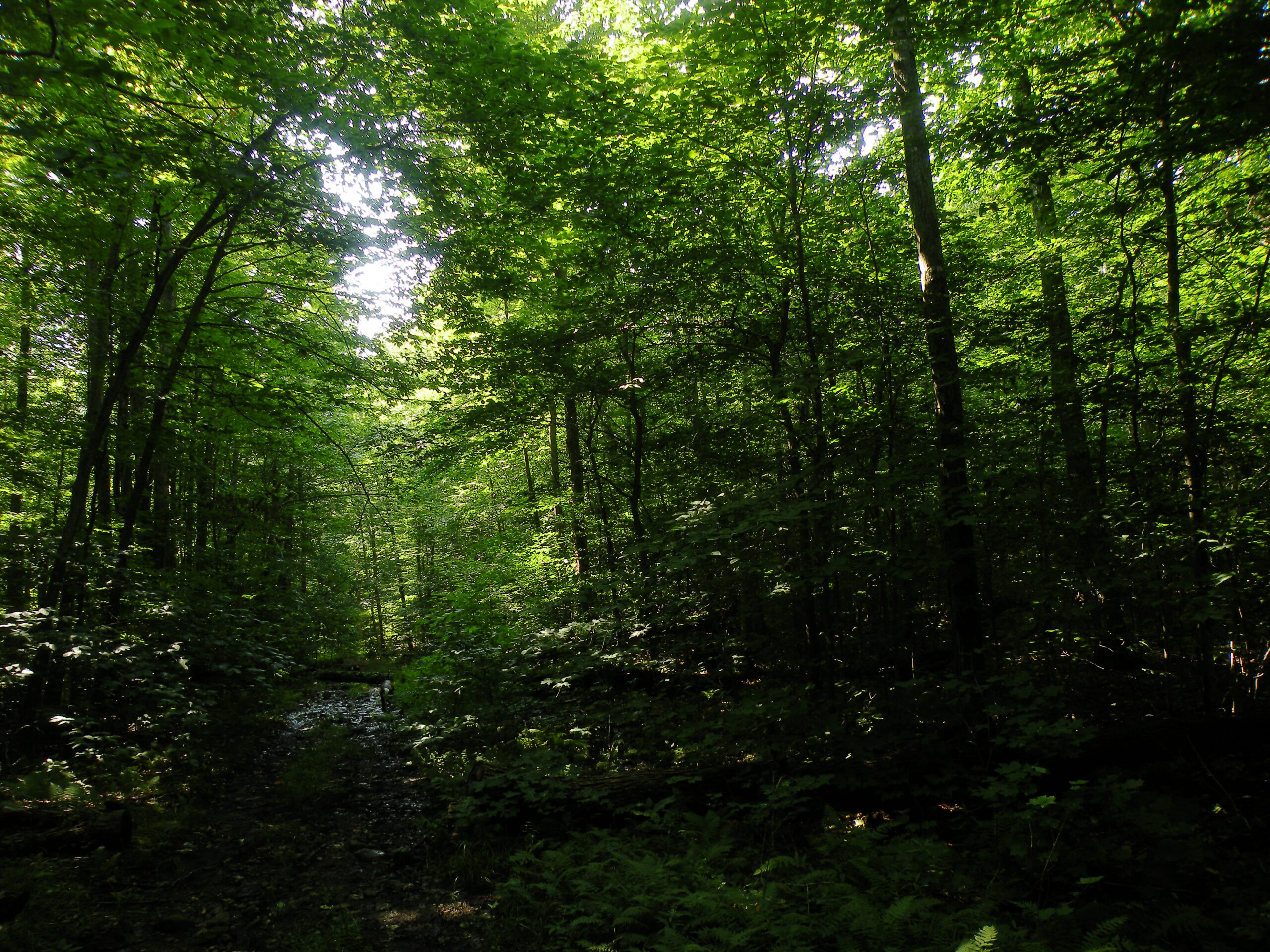
The Jay Range is the northern extension of the same mountain grouping that includes Giant and Hurricane Mountains. All three wilderness areas share certain common features, including a somewhat drier climate. As a result, red pines are just as likely to crown a ridge as spruce and balsam; poplars and white birch fill the bulk of the mid-slopes; and the understory is more likely to be crowded with striped and mountain maple rather than hobblebush. The wilderness boundaries barely enclose any low-elevation bottom lands, save for some limited terrain below Bald Peak, and only here does one glimpse the older hardwood forests that probably once cloaked all of the surrounding valleys.
The human history of the Jay Mountain Wilderness is not evident in just a handful of specific sites, but across the entire area. The character of the forest — as well as the absence of trees on the various bald summits — was very much determined by the human activities that came before.
The best historical survey of the Jay Mountain Wilderness was included in DEC’s 2010 management plan for the area. You can read it by clicking on the link below.
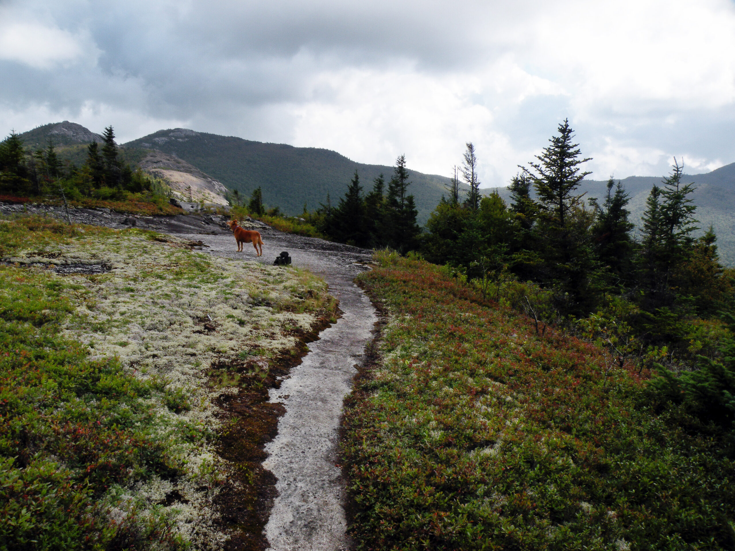
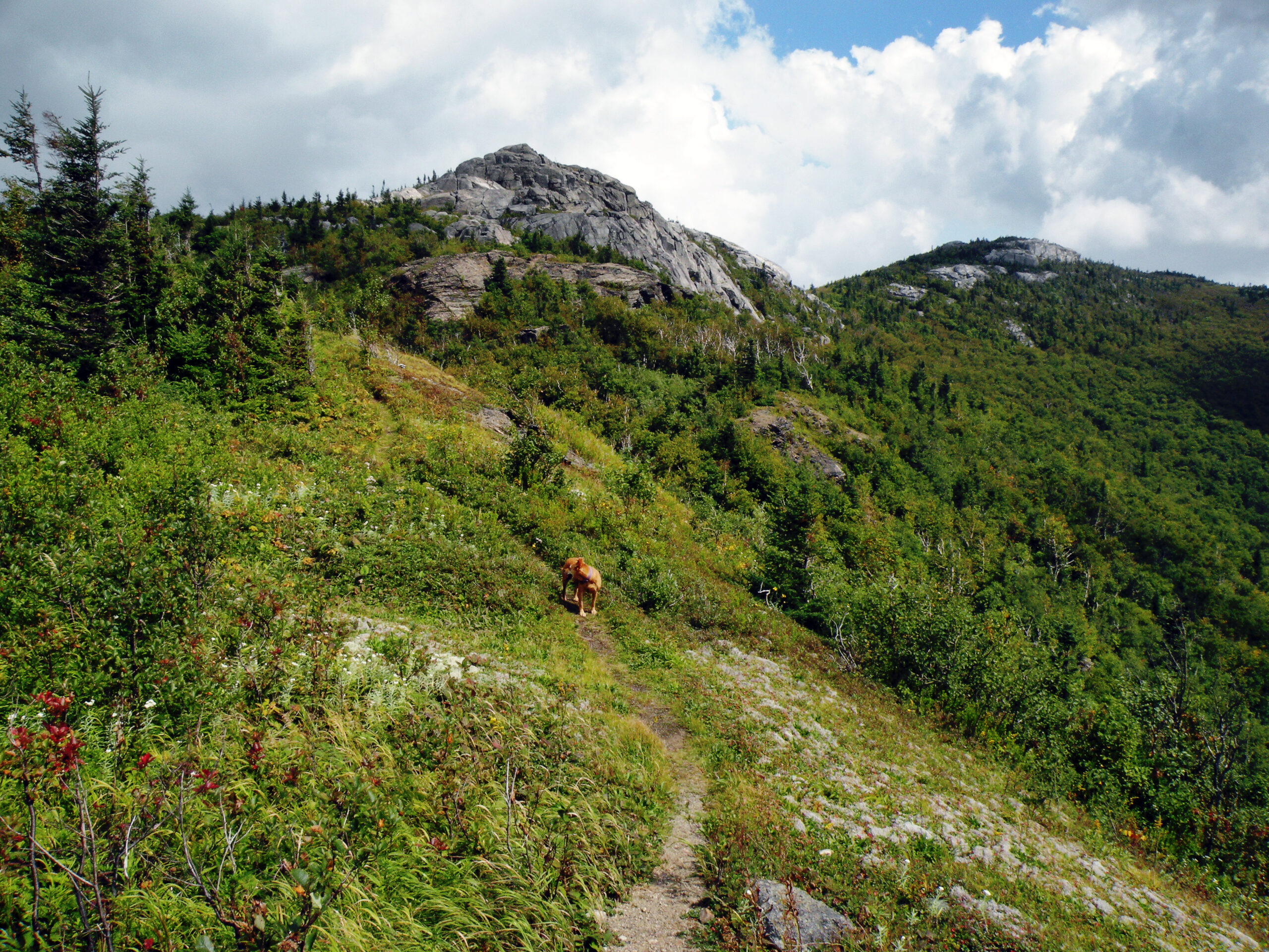
Recreational activities in a wilderness of less than 8,000 acres are relatively limited, of course. There is only one trail in the entire area, but no lean-tos or even primitive campsites. There are streams aplenty but no ponds and only a few marginal wetlands; few people come to fish and no one comes at the Jay Range armed with canoe paddles.
Even the hiking trail is a recent addition, sort of. Prior to 2012 there was a simple herd path from Jay Mountain Road to the highest summit in the range, well-used but marked only with cairns. Along with the Pepperbox Wilderness on the far western edge of the Adirondack Park, the Jay Mountain Wilderness once had the distinction of being “trailless” — but also like the Pepperbox, that adjective was never entirely accurate and certainly doesn’t apply today.
In 2012 the state opened a newly rerouted foot trail from Jay Mountain Road to the first summit knob at the west end of the range. This was done to replace the steep and straight-as-an-arrow original herd path, which DEC feared would succumb to erosion. That was not an unreasonable fear, but with the new trail came a new marked trailhead, and both facilities have attracted far more people each year than the old herd path ever did.
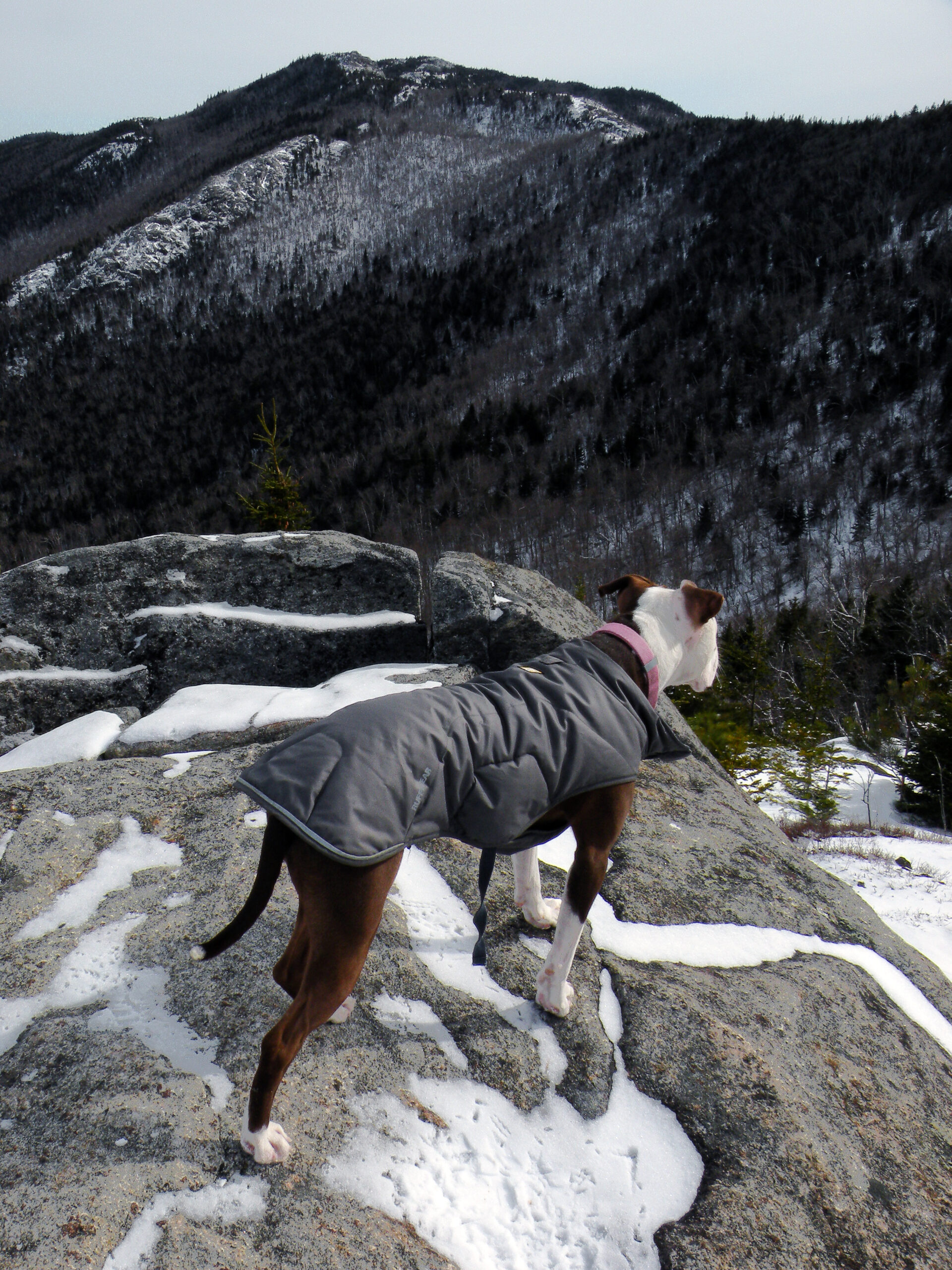
The reason for this popularity is hardly a mystery, for the hike along the summit ridge is an outstanding adventure. After the trail reaches the first summit, the signs and markers may end but the cairns lead you on a thrilling trek across a series of bald knobs and cones, each new view building upon the last. By all means come when the weather is good; the same exposure that makes the views so exciting also provides little shelter from the wind and rain.
Every other recreational opportunity in the Jay Mountain Wilderness requires off-trail navigation. There is no shortage of potential destinations, and state land access is good from the south and east… with some words of note.
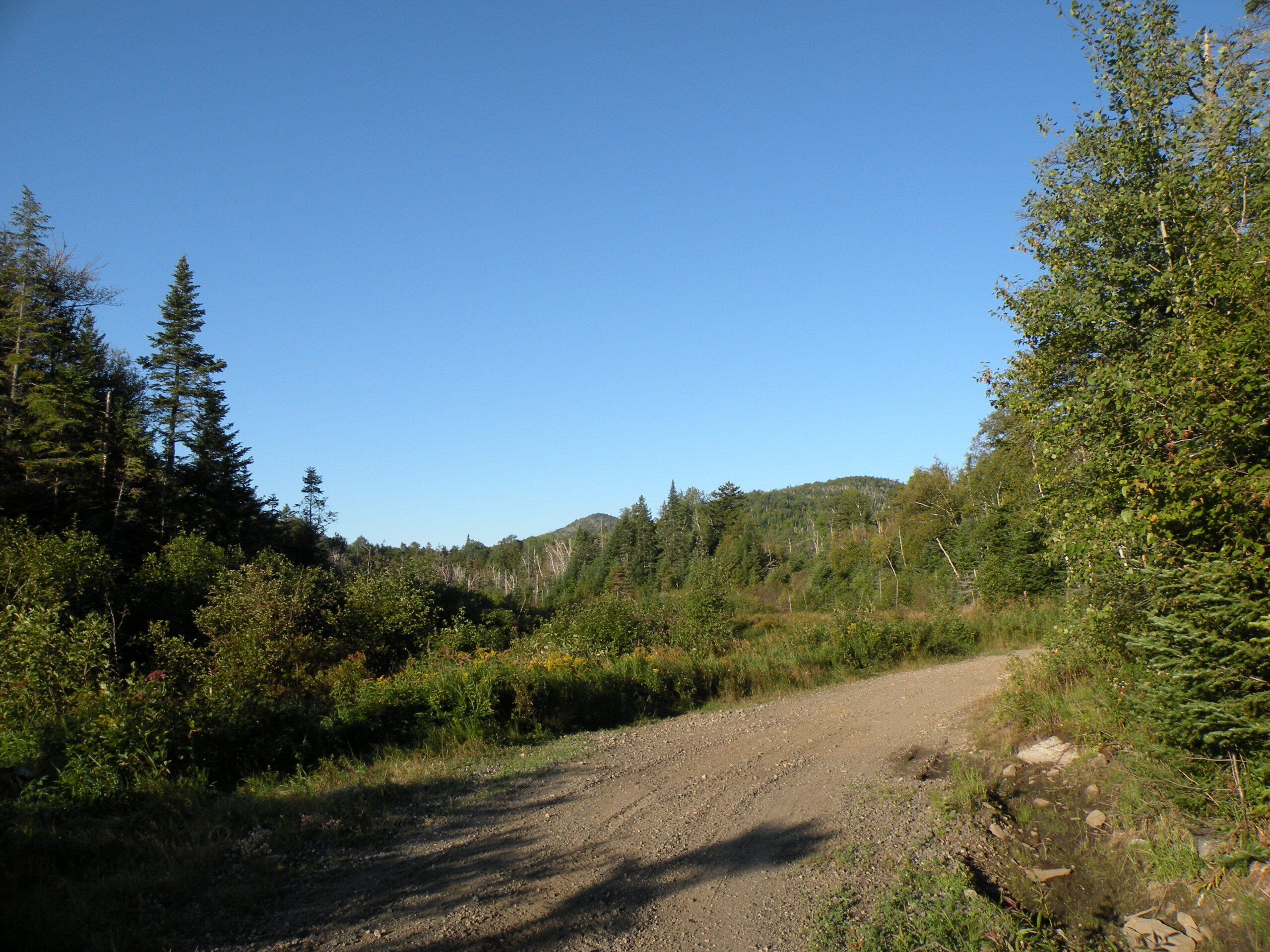
Jay Mountain Road, which makes a daring east-west traverse of the range between the towns of Jay and Lewis, provides the best access to Saddleback Mountain but is often in poor maintenance. The western end in Jay is more residential in nature — and thus more likely to be in better shape as far as the height-of-land. The eastern end in Lewis, however, is uninhabited and poorly maintained. Expect washouts and gullies; only high-clearance four-wheel-drive vehicles should attempt that section.
Seventy Lane provides the sole wilderness access point from the east. There is a small parking area (not plowed in winter) but no trails originate here — at least none leading into the wilderness. However, this portion of the Jay Mountain Wilderness tightly borders the open-pit mine operated by NYCO, and not everyone will appreciated the marred views found on Bald Peak and MacDonough Mountain.
The small size of the Jay Mountain Wilderness does not exempt it from controversy. With the exception of the voter-approved activities on Lot 8, this wilderness is not mismanaged or directly threatened, but its small size does make the area’s potential greatness underappreciated by both the public and its state administrators. And since small, underappreciated things are therefore more expendable, therein lies the problem.
It is incorrect to assume that Jay is small because it is surrounded by development and its acreage has been maxed out. While that is true of the Hurricane Mountain Wilderness to the south, Jay has exciting potential for significant expansion. Without commenting on the worthiness of any specific private property, there is nevertheless a large swath of timberland to the north of the wilderness that, as seen from a distance, seems to continue Jay Mountain’s theme of fire-scarred summits well beyond its boundaries.
But whether the owners of those lands would be interested in someday selling to the state, or whether the state would be willing to acquire it, or whether the political appetite would then exist to perhaps double or triple the size of the Jay Mountain Wilderness — who can say? But for the sake of conversation, let’s engage in a little bit of idle speculation.
Say some of that private acreage was added to the Forest Preserve, enabling an expansion of the wilderness boundaries. A sticking point would be the status of certain roads in this region, especially the primitive track that connects Seventy Lane with Lincoln Hill Road; although currently closed to the public, there are ambiguous claims that it may still have status as a public highway, and if so, this would be a problem for any potential wilderness classification. Simply buying the land would not be enough; wilderness advocates would need to make the case that the old road serves no modern transportation purpose, and that its historical significance could, say, be appreciated on skis more easily than on snowmobiles.
But to our knowledge the land is not being offered for sale, the state is not negotiating to buy it, and so all of this is getting ahead of ourselves.
Acquiring land was one of the stated goals of the proposed land exchange with NYCO, the mining company that extracts wollastonite from an open pit at the edge of the wilderness. In 2013 voters narrowly approved an amendment to Article XIV of the New York State constitution, the so-called “forever wild clause,” authorizing DEC to engage with NYCO in a complex arrangement that would allow the company access to the Jay Mountain Wilderness (at a site called “Lot 8”) in exchange for a vaguely-defined set of public benefits.
The first part of that arrangement was dutifully executed — NYCO got to perform a series of test bores in Lot 8 to determine its mineral value, wilderness values notwithstanding — but the company claimed financial difficulties before it could uphold its own reciprocal obligations. The story is long and complicated, and not without heartache for those who publicly took sides during the months leading up to the 2013 referendum. To read one partisan’s take on this issue, click on the “Cuomo’s Divisive Adirondack Legacy” link below.
The State Land Master Plan has long contemplated the closure of Jay Mountain Road to the south of Saddleback Mountain, where it crosses through state land. This rough road is the sole boundary between the Jay and Hurricane areas, which would otherwise be one continuous wilderness if the road didn’t exist. But DEC seems to have no interest in flexing its legal authority to make the closure happen, and meanwhile the eastern half of the route is seldom traveled and in poor repair. The result is a paradoxical situation in which no one seems willing to either maintain or abandon a byway that the public sees little reason to travel.
The following links leave the AWA website and take you to various pages on the Department of Environmental Conservation (DEC) website with more information on the Jay Mountain Wilderness.
Jay Mountain Wilderness Information Page. Learn important contact information and peruse a list of facilities.
Backcountry Information for the Adirondack High Peaks Region. Trail conditions updated weekly for the Jay Mountain Wilderness and neighboring areas.
Jay Mountain Wilderness Unit Management Plan (2010). Download DEC’s official management plan, as well as the related 2014 amendment.
State Land Regulations. Review the complete list of DEC regulations.
All photos © Bill Ingersoll. Site visitors are permitted to download an unlimited number of images from our website for personal, educational, scientific, or professional use only, with attribution. Commercial use and further distribution of images is prohibited without express written permission.


