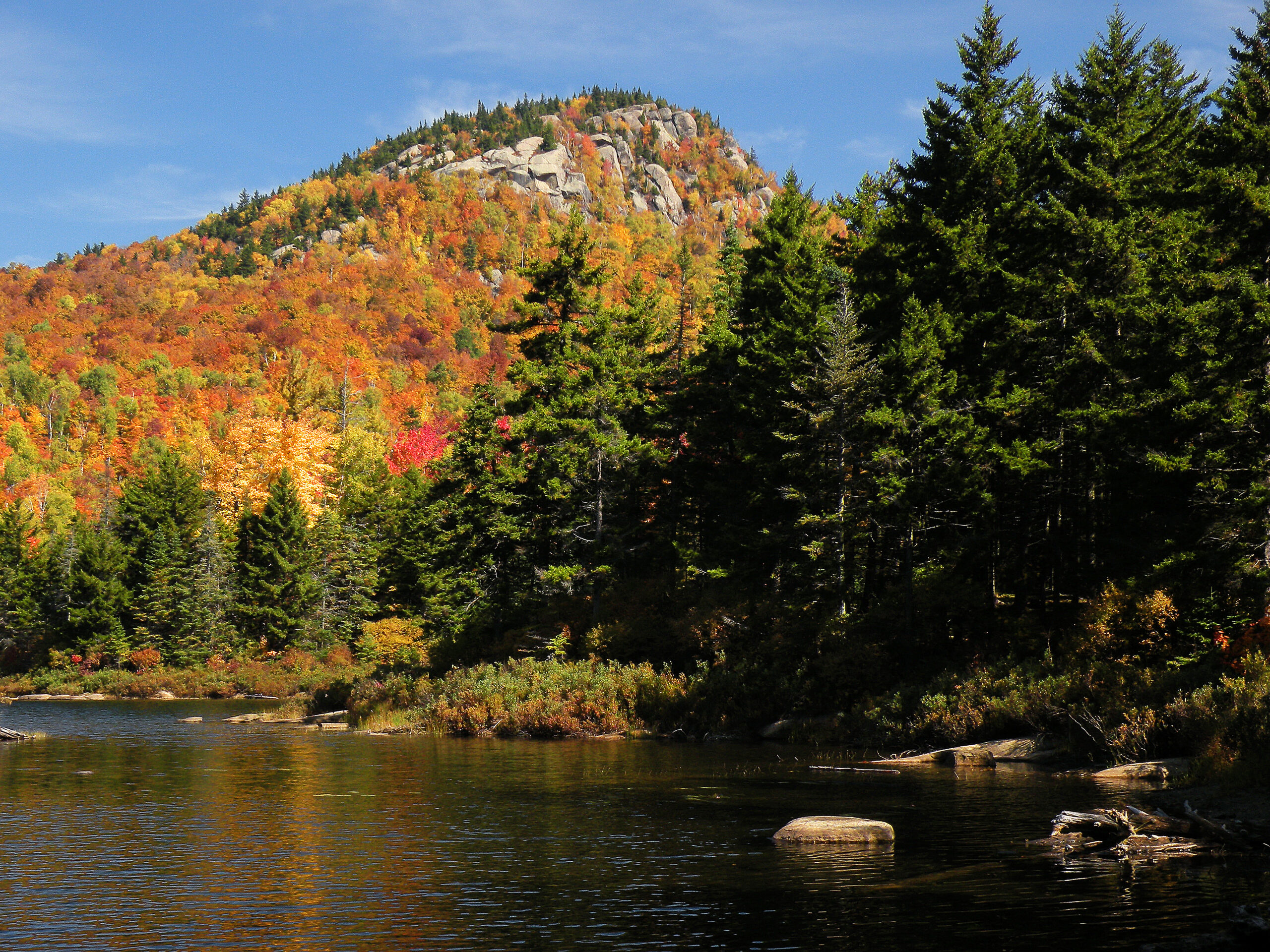
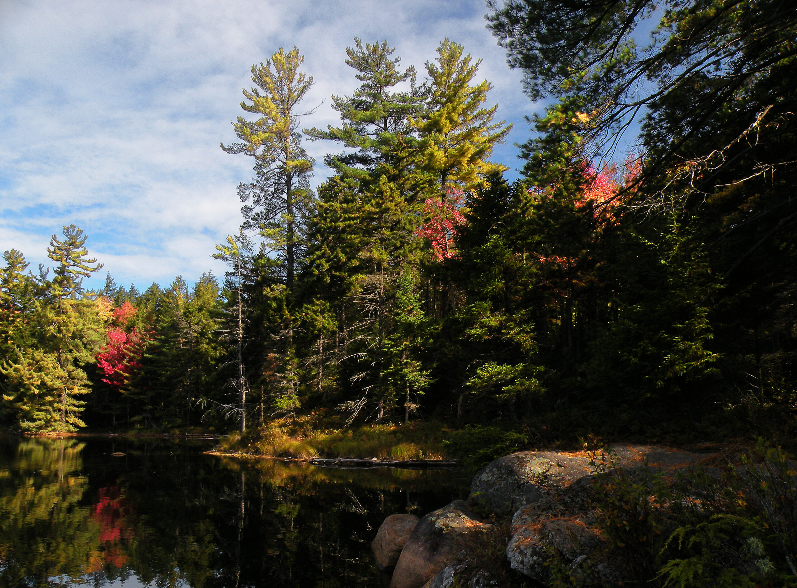
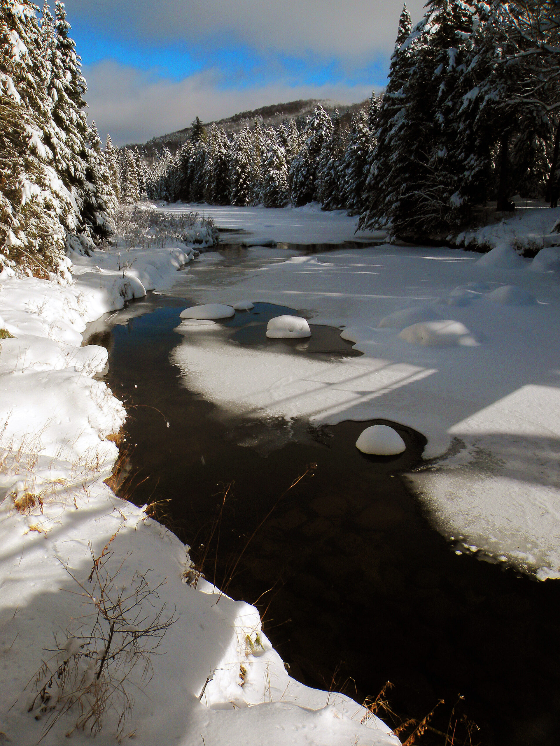
Peaked Mountain Pond

The Siamese Ponds region is the Adirondack Park’s quintessential wilderness area: vast in size, diverse in both terrain and forest cover, and available to explore at any time of the year. Everything a wilderness should possess can be found here, and it seems impossible to ever tire of exploring this place.
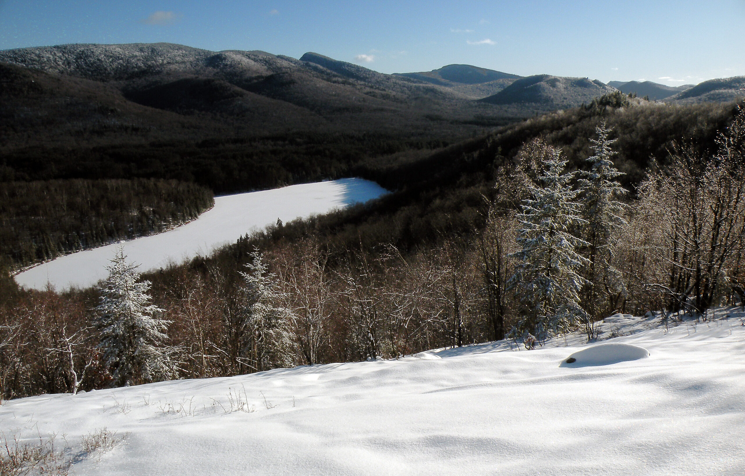
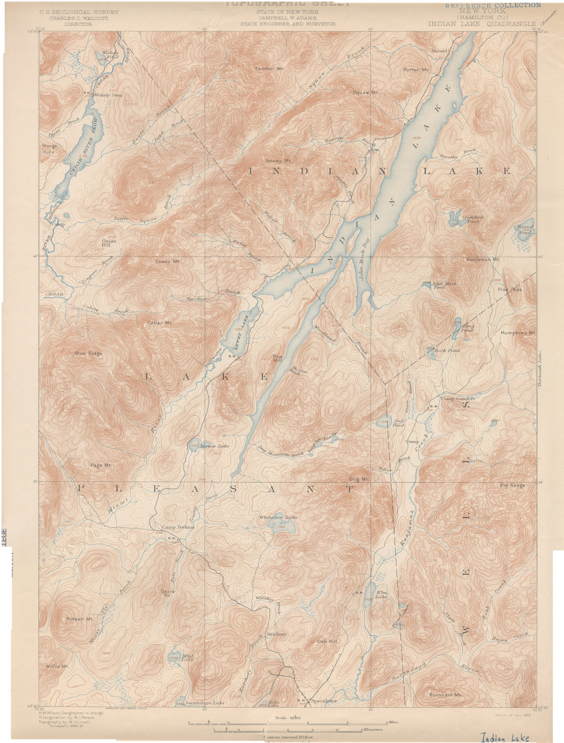
Like the four other largest protected areas in the Adirondacks – High Peaks, West Canada Lake, Five Ponds, and Silver Lake – the Siamese Ponds Wilderness far exceeds the size of any National Forest wilderness in the Eastern U.S. While not quite a superlative area like the High Peaks region, it is based on the same foundation of anorthosite bedrock. It is also a land of extremes, with numerous high, densely-forested summits that few people visit, divided by wide valleys through which flow a vein-like network of wild streams. Elevations top out over 3400 feet but dip to nearly 1000 feet above sea level.
Named for the pair of large ponds located at dead center, this wilderness features nearly a hundred bodies of water. The name “Siamese Ponds” is probably an indirect reference to Chang and Eng Bunker, the famous conjoined twins who made a living touring the U.S. in the decades before the Civil War. Perhaps a dam on Lower Siamese Pond once raised the water level enough to “conjoin” it with its upper neighbor, but the ponds today are neither joined together nor exactly twins. They are merely close neighbors, shaped somewhat like a bird of prey swooping fast after a scurrying rodent.
Rather, one might say the Siamese Ponds Wilderness is itself a near-twin to the Silver Lake Wilderness to the southwest. Both are prominent headwater regions in the Sacandaga watershed, and each wilderness includes an entire branch of that mighty river – the West Branch for one, and the East Branch here. The two wilderness areas are similar in size and forest cover, and their mountains reach to about the same heights.
What makes the Siamese Ponds Wilderness distinctive, though, is its trail network, which is far more robust than that found in the Silver Lake region. An intriguing network of trails spans the northern half of the area, and all but one access point is maintained for public use year-round. These trails climb mountains and prowl alongside the ponds; they form companions to the East Branch Sacandaga River and sniff out the courses of old wagon roads. A few are marked as ski trails, but all provide good service to hikers and backpackers.
And to those people for whom solitude is a hard requirement: fear not! The trail network described above only hints at the full potential of this wilderness; much more waits to be found in the farthest reaches of the forest.
Please click through the tabs below to learn more about the Siamese Ponds Wilderness.
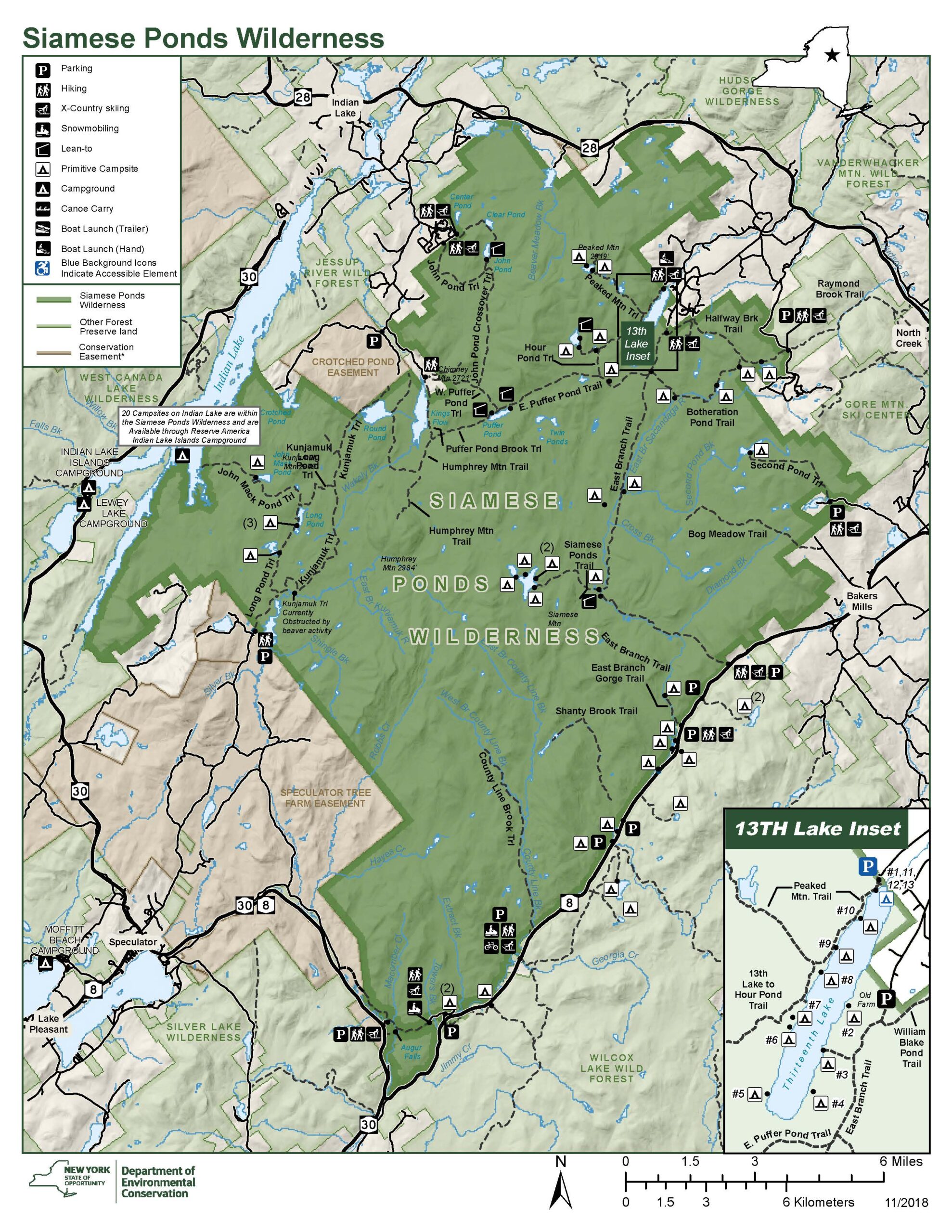
Size: 112,883 acres
First Designated: 1972
Unit Management Plan Status: Completed in 2005, amended in 2017
Special Regulations: None; standard Forest Preserve regulations are in effect


The Siamese Ponds Wilderness has it all, with ponds, mountains, and streams distributed evenly throughout. None of these may be the “biggest” or the “highest,” but all of it adds to the mosaic of wildness.
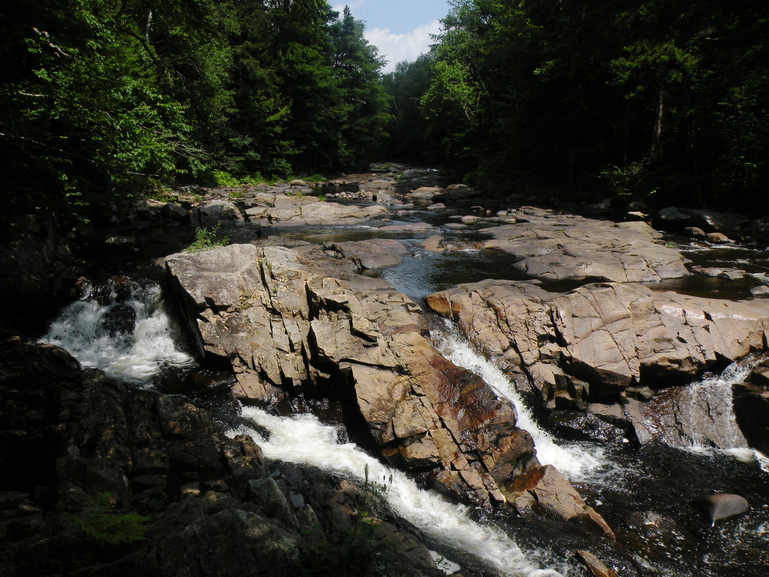
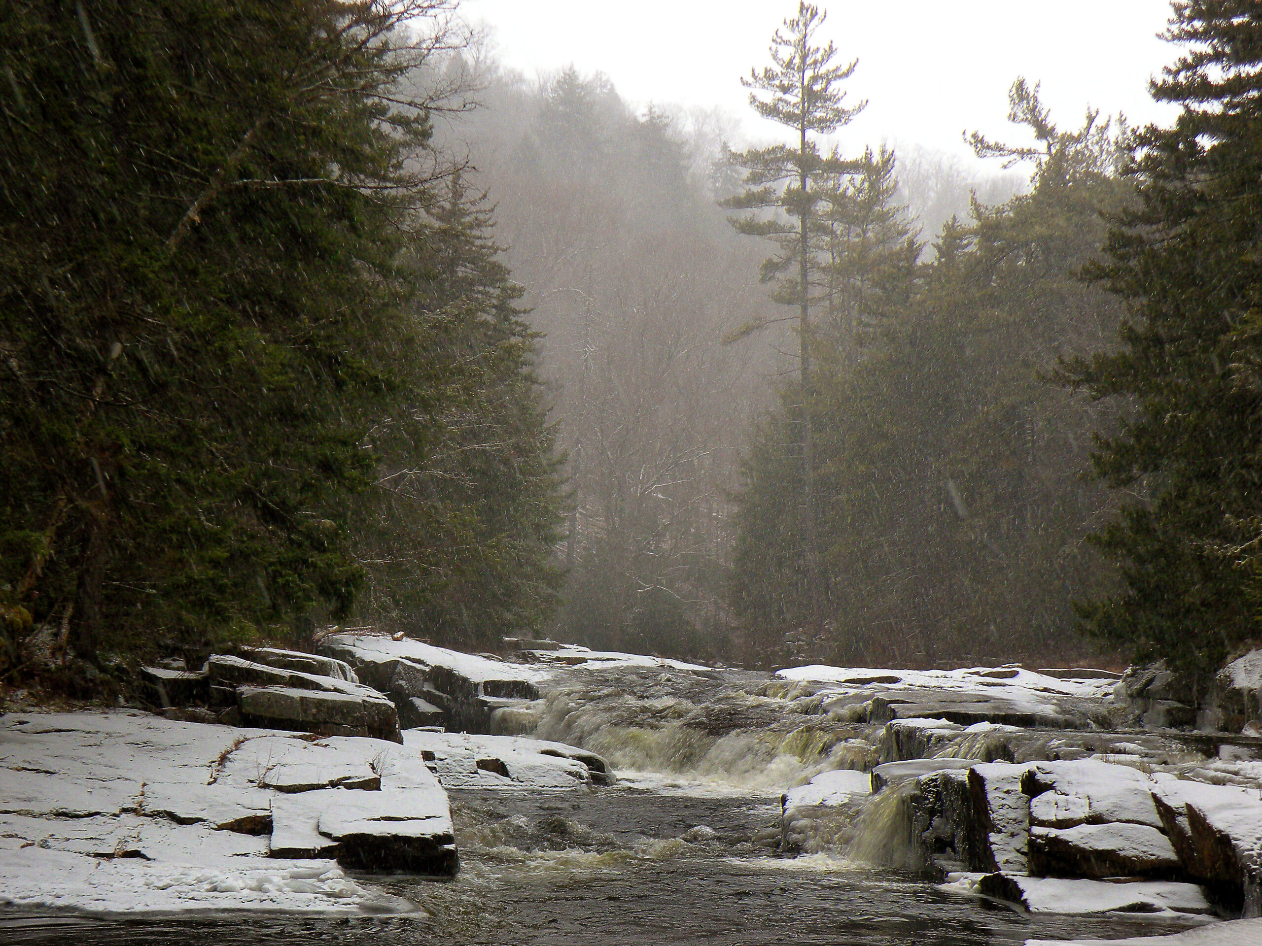
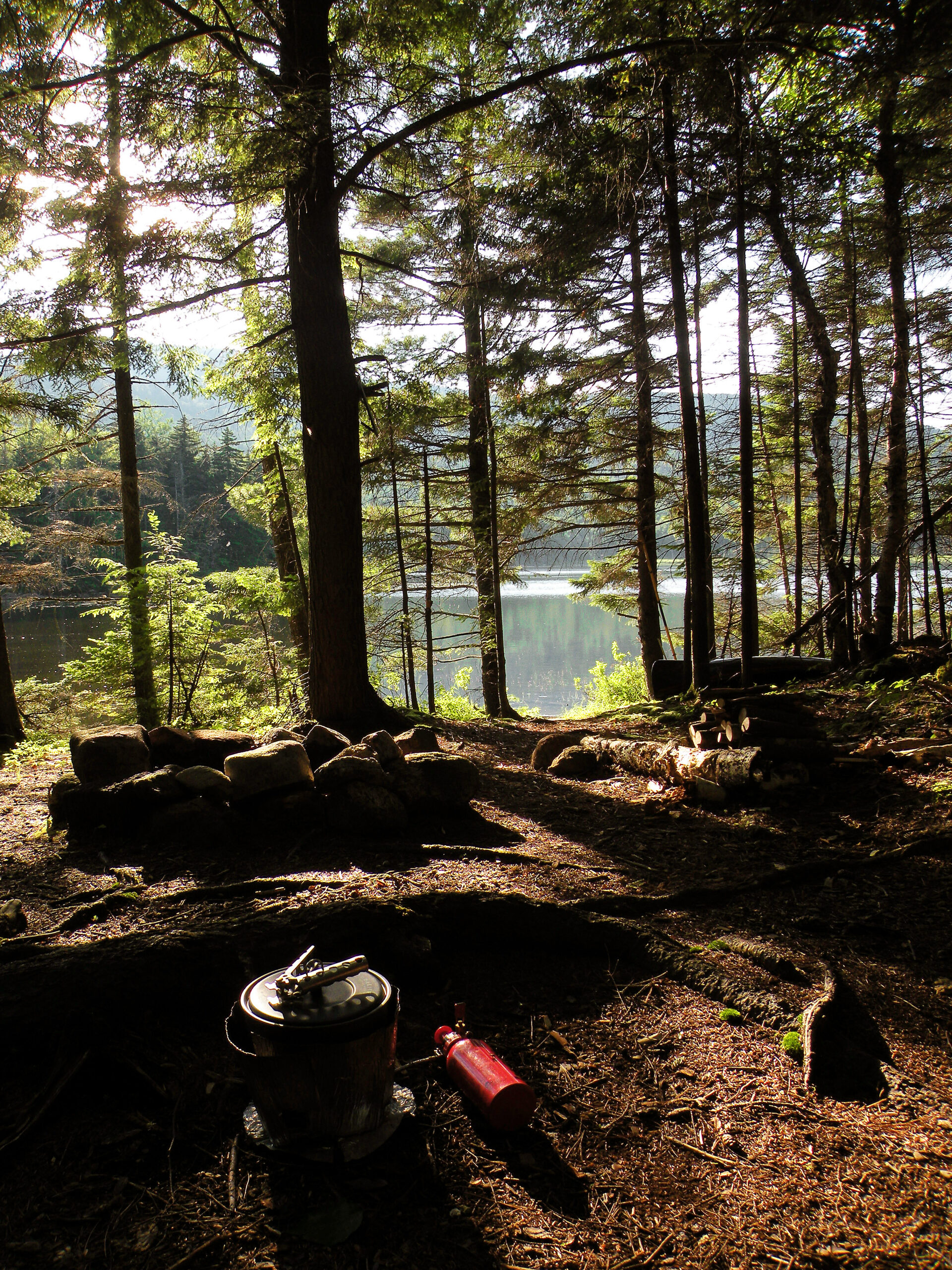
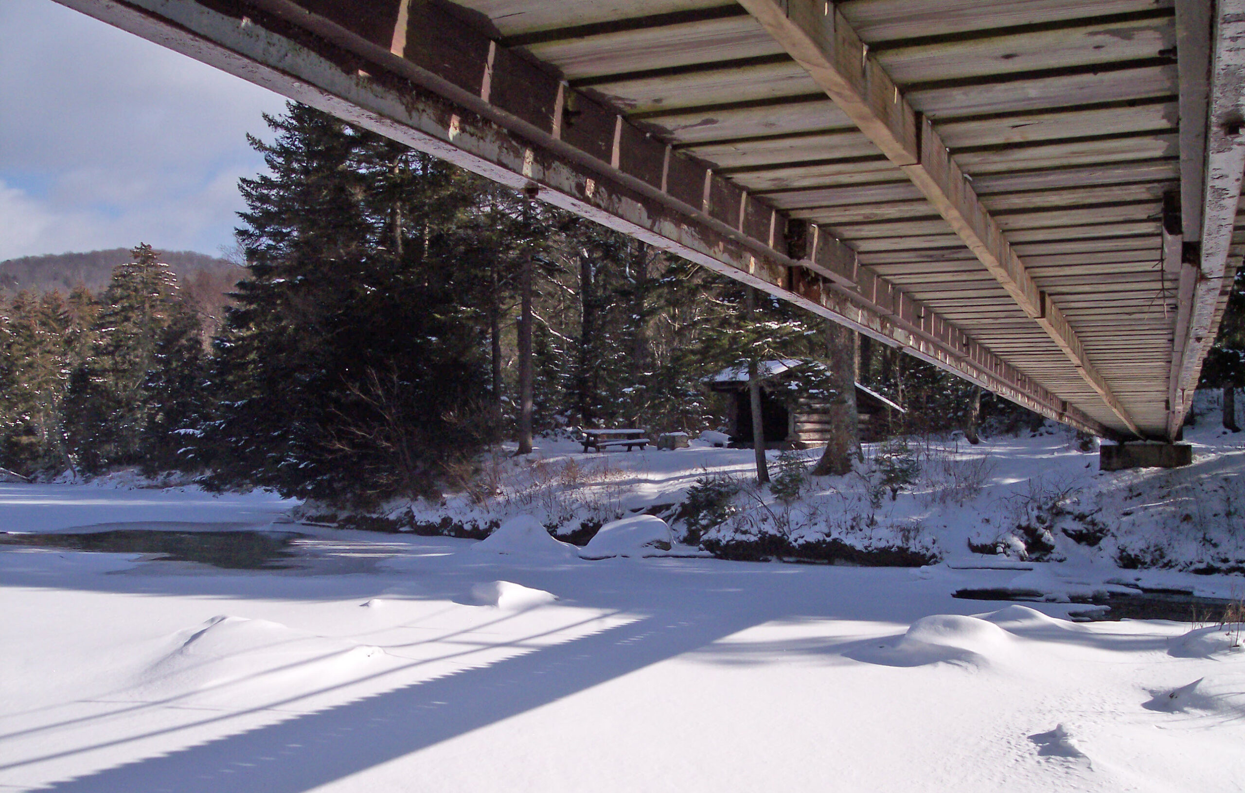
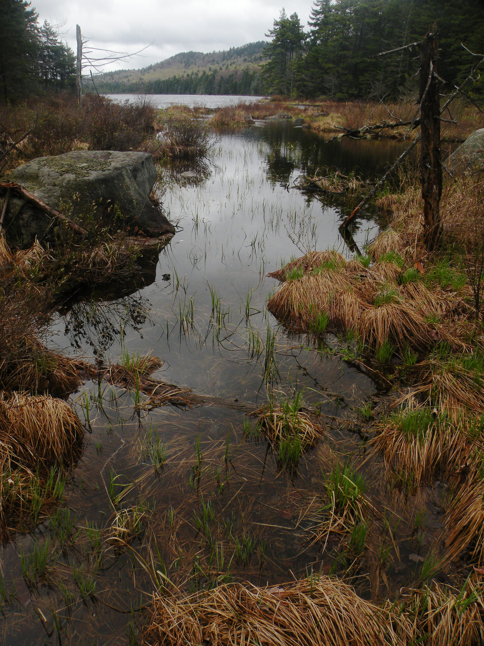
One of the most visible features is the East Branch Sacandaga River; every inch of this mighty, 24-mile-long stream either flows through or along the edge of the wilderness. Only a single highway bridge spans the river at the historic hamlet of Griffin; elsewhere there are only footbridges, and not many at that. The East Branch is easily the largest river in the area, with two distinctive gorges along its course. One of the most scenic trails follows the river for a few miles west of Eleventh Mountain, but one doesn’t need to hike to enjoy its charms – some 12 miles or so are easily viewed while driving the two-lane NY 8.
A far more reclusive stream sneaks its way across the western boundary of the wilderness. The Kunjamuk River begins its journey as the outlet of one of the remotest ponds in the Adirondacks, and for seven miles it flows through country few people see before entering the Speculator Tree Farm to the southwest.
There are numerous other streams as well, including a series of parallel brooks in the southern half of the wilderness that flow through deep mountain valleys. The most notable of these are Shanty Brook and County Line Brook with their distinctive cascades.
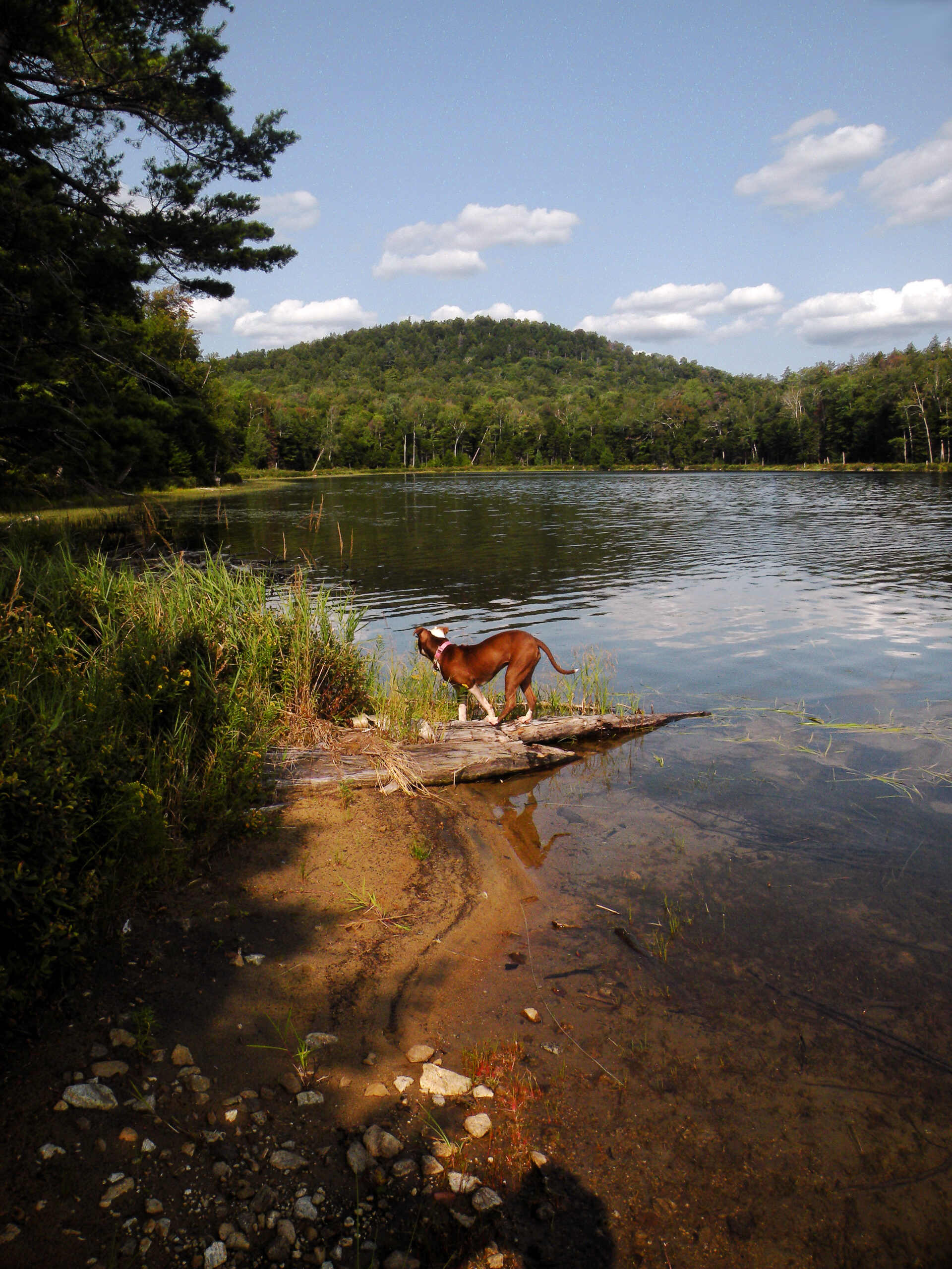
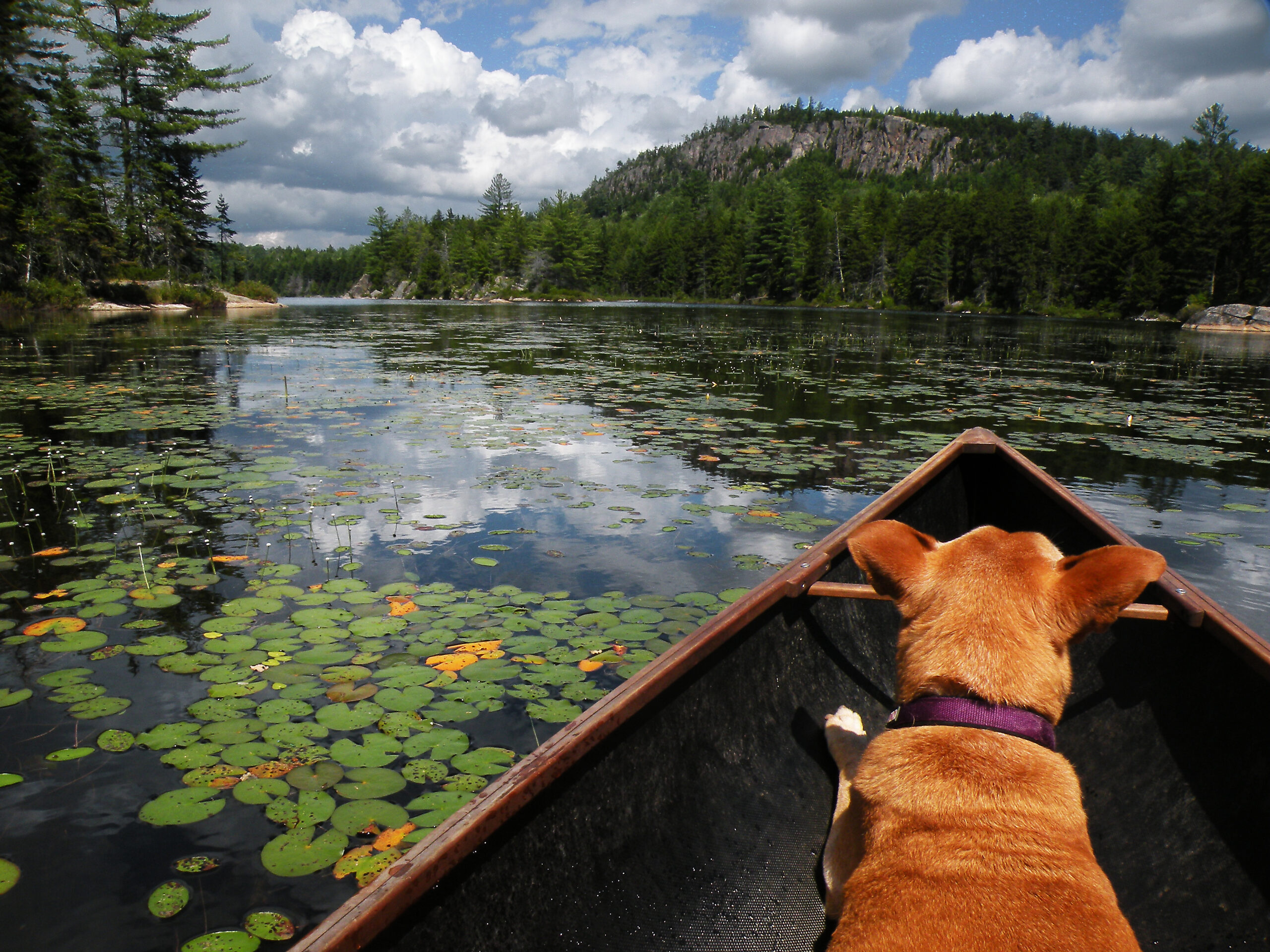
The ponds seem to get bigger as one traverses the wilderness from south to north. Those in the southern reaches are quite small, such as the trio of tarns known as the Buckhorn Ponds. The ponds stretched across the central zone are more moderate in size — think Long, Siamese, and Second ponds in this case.
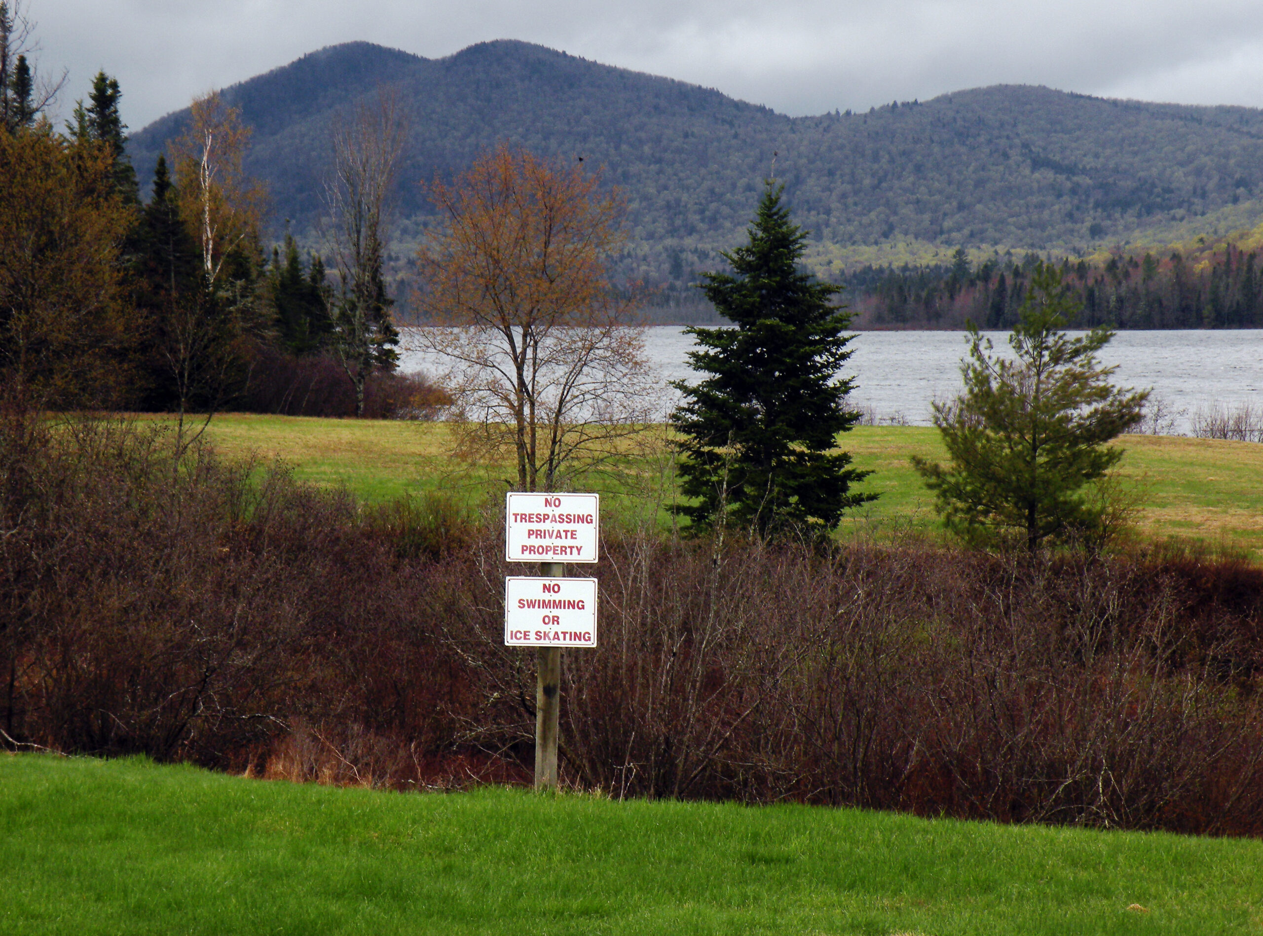
But two relatively large bodies of water frame the northern half of the wilderness. Kings Flow is a man-made lake, probably dating to the logging days and still half-filled with rotting stumps. Thirteenth Lake (named for the historic tract in which it falls, Township 13) is the largest of all. Neither of these lakes is entirely within the wilderness, but while private property strategically controls access to Kings Flow, there is a short and universally-accessible trail to Thirteenth Lake, making this spot a popular wilderness gateway.
A few backcountry ponds have what might be called iconic mountain backdrops, and some are protected trout waters. But every single one seems to have at least one thing in common: spend too much time swimming in any pond in the Siamese Ponds Wilderness and you are certain to draw the attention of leeches.
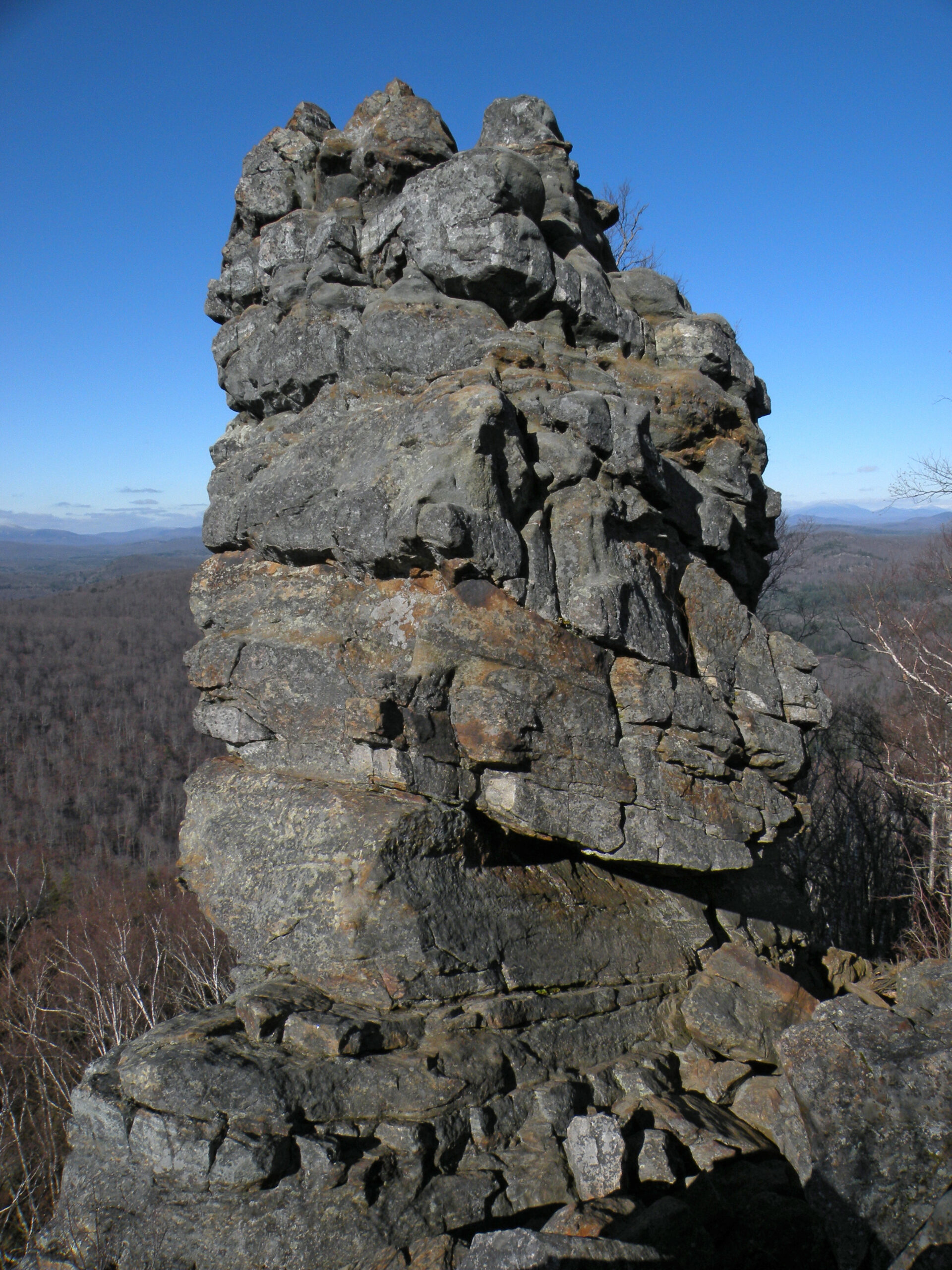
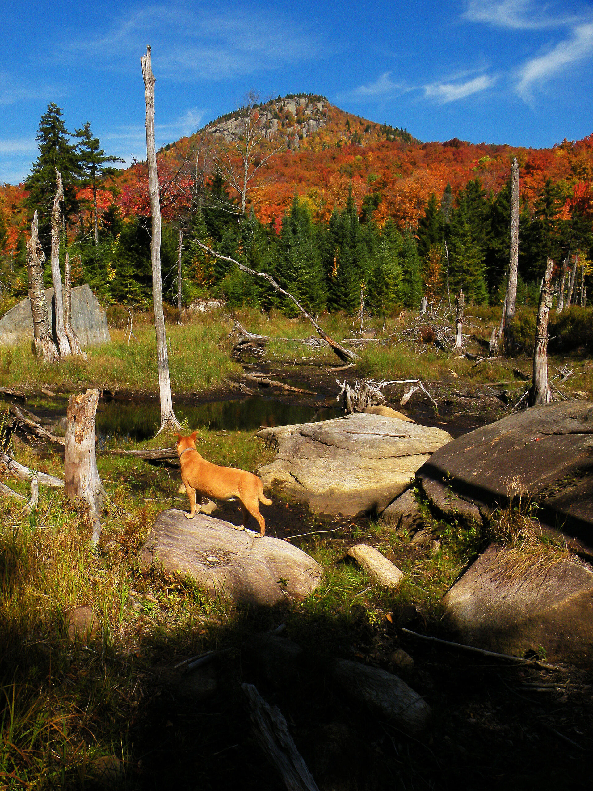
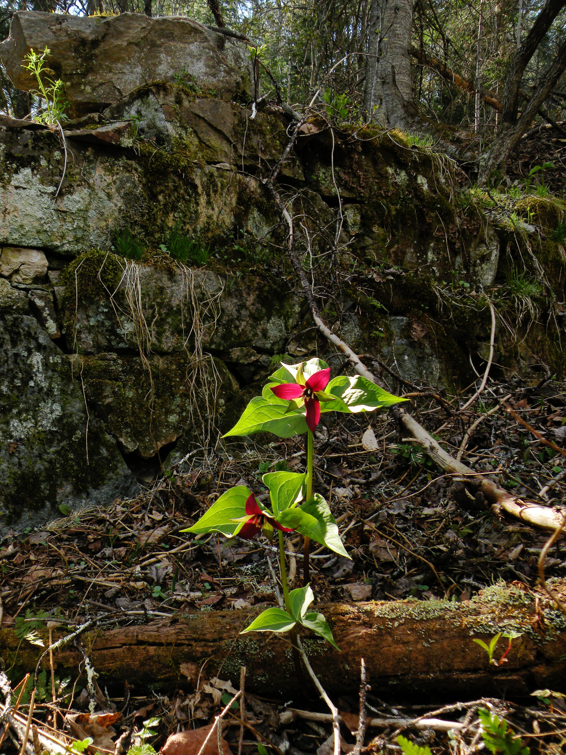
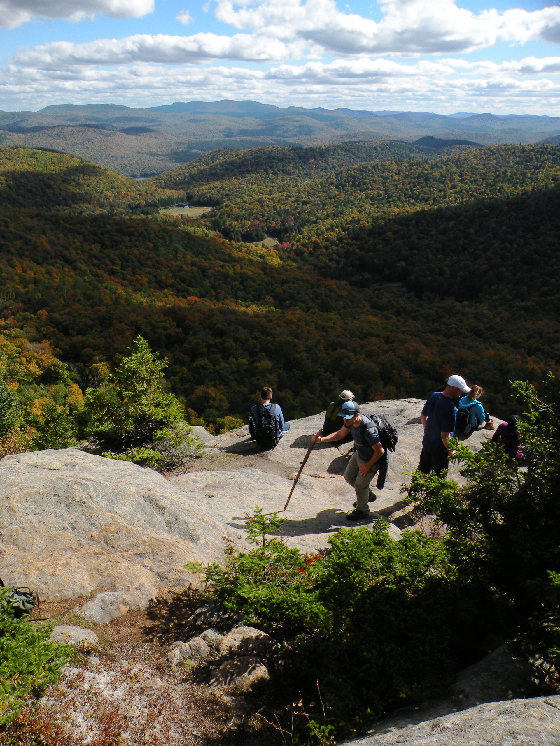
Like the ponds and streams, the mountains in this region come in a variety of sizes. But while there are several high summits within the wilderness boundaries – Puffer, Bullhead, parts of Gore – it’s the mid-sized peaks that are the most notable. Peaked Mountain is exactly what its name promises, and Chimney Mountain is indeed capped with a column of rock (and riven with the largest concentration of natural caves in the Adirondack Park). The Long Pond Cliffs, Shanty Cliffs, and Pine Peak all resemble small mountains that have been split open by cataclysmic forces.
Forest quality throughout the area is mostly good, except within the footprints of the major historic sites. This wilderness excels at the “northern mixed hardwood” forest type, much of it in better condition than the area’s logging and tannery history would have one believe. Forest fires did scorch the fringes of the wilderness, but the interior is an unbroken expanse of mature forest.
One section of forest in the western wing of the wilderness deserves a special mention. The broad valley of the Kunjamuk River was once a pocket of stately elm trees, a species that was hit hard by an invasive disease a century ago. But the elms were not completely wiped from the landscape; the forest here is still rich with young specimens, maintaining their historic foothold within the backcountry.
Despite its strong wilderness qualities today, the fringes of the Siamese Ponds Wilderness were intensely settled through the late nineteenth century, and what are now woodland trails were once primary thoroughfares between communities. The preservation of this land in a wilderness state was never certain until it actually happened, and perhaps it is just by historical accident that we do not have paved highways and small hamlets scattered throughout this backcountry today.
There seems to be a deep “prehistory” to the Siamese Ponds Wilderness that predates the well-established written record that begins in the 1880s or so. By the time people came here to work and play in the post-Civil War era, many of the place names had already been set – with no explanation what the bother was at Botheration Pond, or why we have an Hour Pond but no Minute Pond. The naming of the Siamese Ponds, as described above in the introduction, is simply a theory that fits certain observations. No two people in the nineteenth century could agree on the correct spelling of “Kunjamuk,” but nevertheless that river has never had another name.
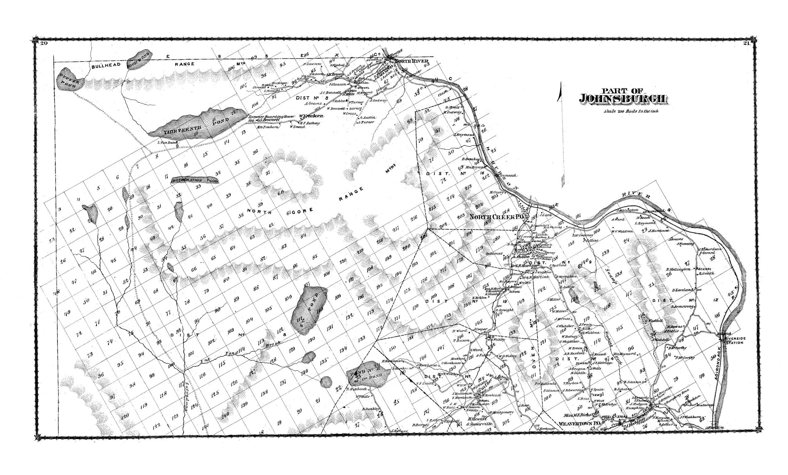
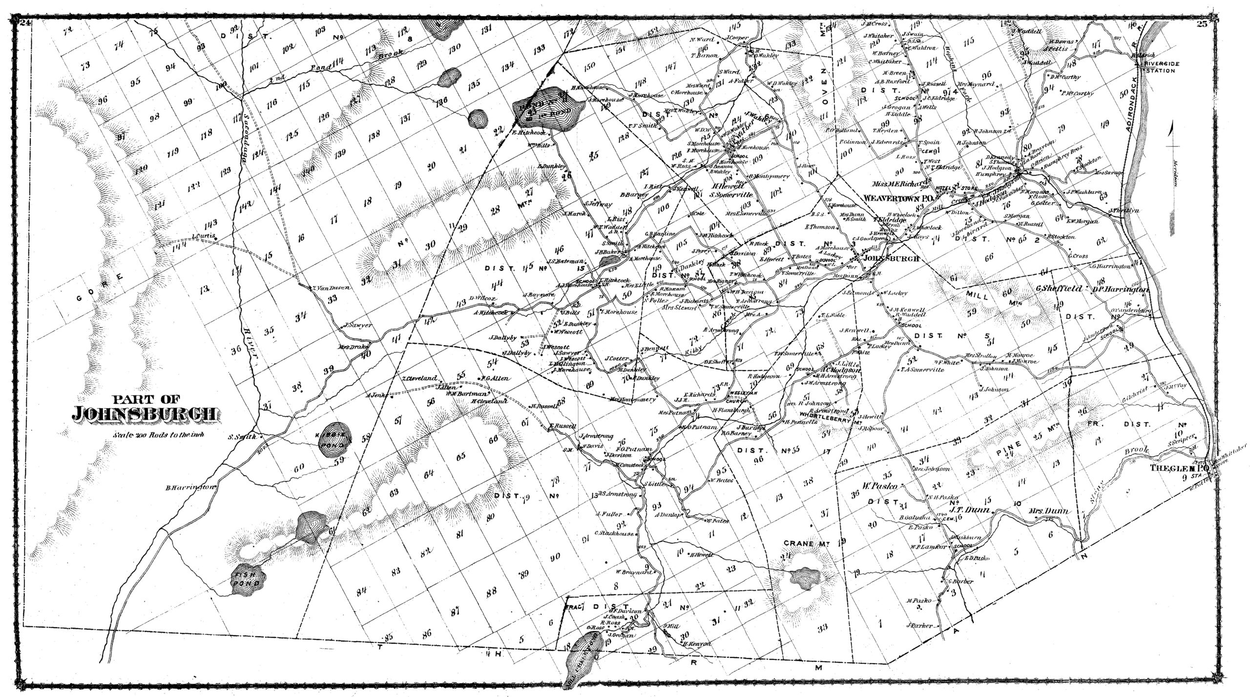
Nor was the landscape uninhabited. Settlements are known to have existed at Curtis Clearing, where several families established farms; at “Little Canada” near Johns Pond, where some residents eventually had to be evicted from state land circa 1914; and at Griffin and Oregon, both of which were tannery sites. Griffin in particular was a booming village until its tannery closed and its economy collapsed almost overnight.
And then there is Old Farm Clearing, a site that has been put to multiple uses despite its name. A map of Warren County published in 1858 identifies the clearing as an “Indian Settlement” – a tantalizing clue that unfortunately comes with no further explanation. The map shows several structures, but the story of this settlement has not survived in modern historical analyses.
Two decades later, gazetteer maps identified this (and another spot to the south, corresponding with the site of Burnt Shanty Clearing) as belonging to Z. Van Dusen. To be clear, this individual was no farmer either. Zenas Van Dusen was a Glens Falls businessman who happened to own much of Township 13 — the heart of the Siamese Ponds Wilderness. He didn’t so much live at these two sites, as the gazetteer seems to suggest, but bankrolled the logging operations on the East Branch Sacandaga.
Old Farm went through another transformation in the 1890s when it became the Thirteenth Lake House, a retreat for sportsmen operated by Henry Maxam. And then the landowner, George Freeman, defaulted on the property taxes and the state acquired the land out from underneath Maxam in 1899. Foresters later planted Norway spruce trees here, creating the distinctive forest familiar to today’s visitors.
In the hills above Thirteenth Lake lurks one of the most unusual historic sites in the Siamese Ponds Wilderness: the old garnet mine once owned by Frank Hooper from about 1908 to 1928. This heavy industrial operation left an obvious scar in the edge of the protected wilderness that is nevertheless interesting to explore. Garnets can be found in the bedrock throughout the northern reaches of the Siamese Ponds Wilderness, and one mine remains in operation nearby.
So, given this history of the landscape, it seems remarkable that any of it became a protected wilderness at all. Nevertheless it survives in fine shape, artifacts and all. Perhaps it was just a matter of good timing; the land was changing ownership at precisely the time the State of New York was most able to acquire forestland on a wholesale basis – thousands upon thousands of acres added to the Forest Preserve within a short amount of time. The boomtowns had gone bust, the farmers had relocated to more fertile territory, and better roads had been built elsewhere. What had originally been wilderness was now wilderness once again.
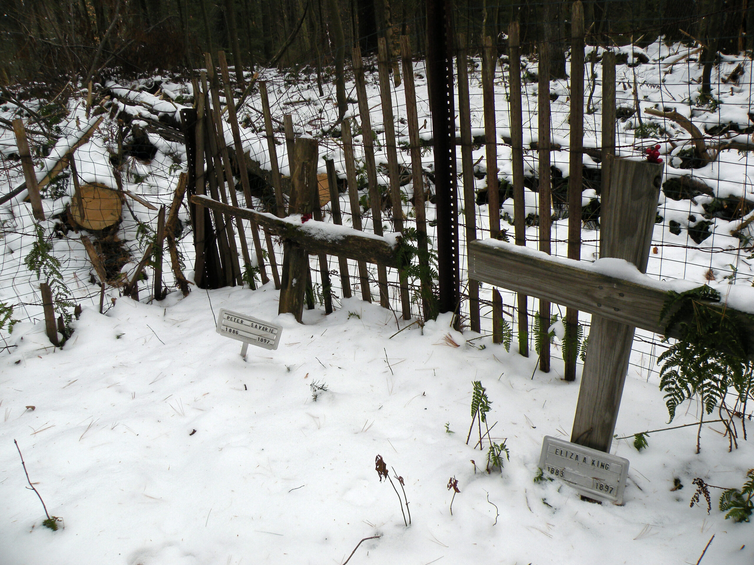
Still, evidence of this history is easy to find. Small piles of rock mark the location of the overgrown pastures at Curtis Clearing, and the foundations of the Thirteenth Lake House can still be detected at Old Farm Clearing, if one looks hard enough. The open rock of the Hooper Mine will be visible for centuries, no doubt. Big Shanty and Burnt Shanty clearings are entirely grown in and exist mostly as names on a map, but the graves of two young children still poignantly mark the location of “Little Canada” to the north. Standing on the top of John Pond Ridge, one can trace the outline of that community by eyeing the hard edges of the pine plantation that now occupies its footprint.
For fans of the wilderness preservation movement, one other site is worth mentioning. It is not located within the wilderness boundaries, but close enough that it will be forever associated with the Siamese Ponds region. On a dead-end road in the hills above Bakers Mills, not far from Eleventh Mountain, stands a small camp. It would be unremarkable except that it was once owned by Howard Zahniser, the principal author of the Wilderness Act.
This federal statute, signed into law by Lyndon Johnson in 1964, permanently protected thousands of acres of federal land throughout the nation. Zahniser visited the Adirondacks often and found inspiration for his “wilderness bill” in the constitutional protections afforded the Forest Preserve. And yes, tradition holds that some of the language included in the Wilderness Act was written here, at the camp named Mateskared — a portmanteau derived from the first names of the Zahniser children.
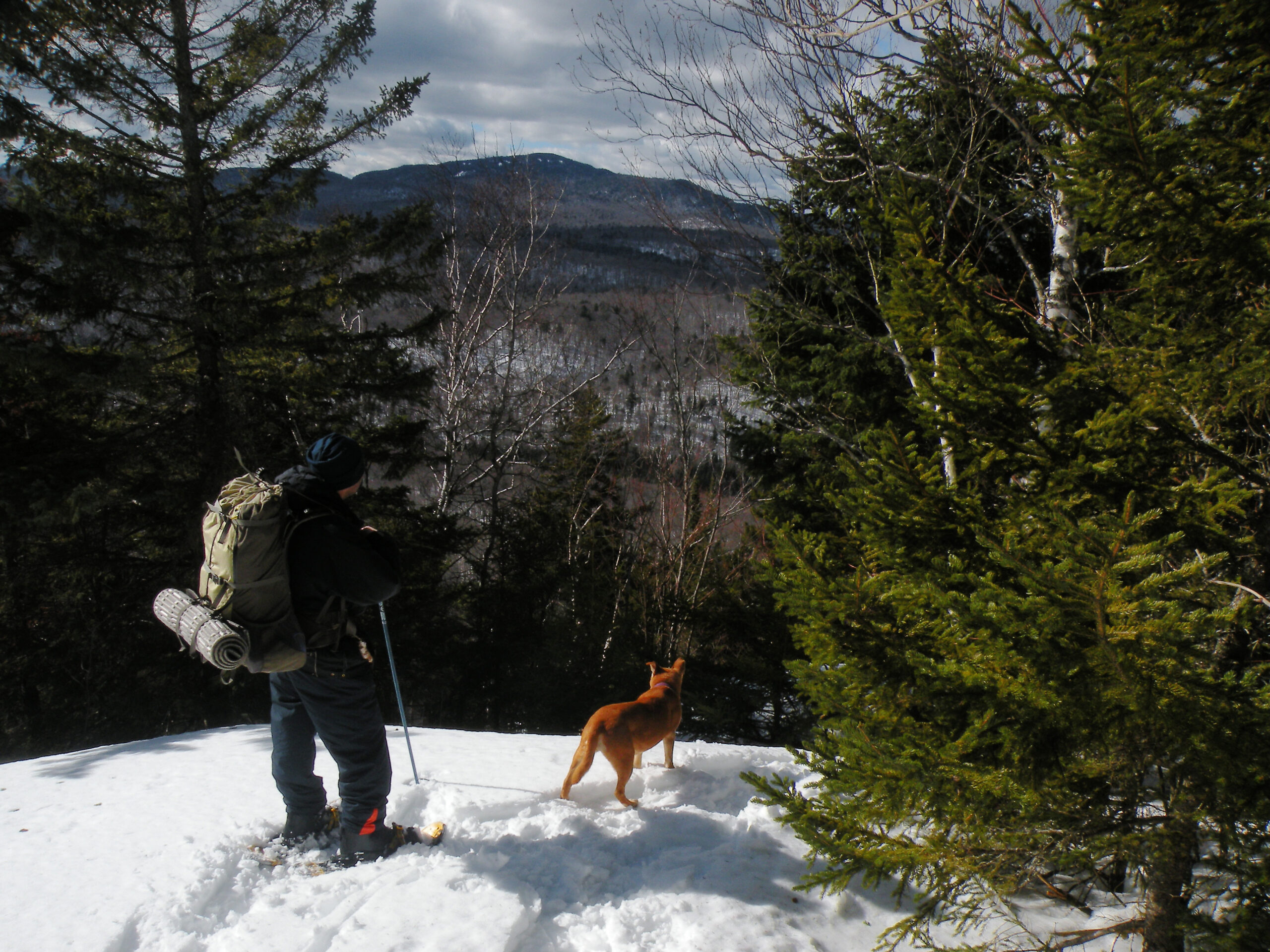
The Siamese Ponds Wilderness has always been an outstanding place to explore by foot, but over time it has been getting better. Much work has been done in recent years to enhance the established trail network with new connector trails, including a new east-west traverse that is part of the North Country National Scenic Trail. With this connection (as well as other new trail links) it is now possible for backpackers to hike through the wilderness from Speculator to North Creek, or to detour northward to Indian Lake. Loop hikes are also possible at Botheration Pond, John Pond, Thirteenth Lake, and Long Pond.
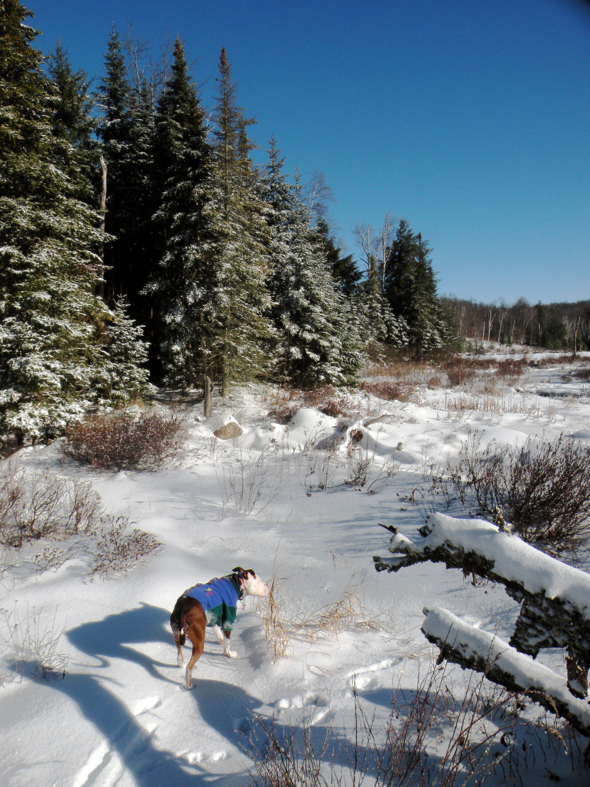
The area receives a healthy amount of annual snowfall, and because many of these trails make use of old wagon roads they are also favorable to cross-country skiing. Most skiers tend to stick to the trails closest to the fringes, however, such as the Botheration Pond Loop and the Old Farm Clearing Trail; the routes that penetrate into the deep backcountry tend to stretch the stamina of many people and therefore see much less use, despite their suitability.
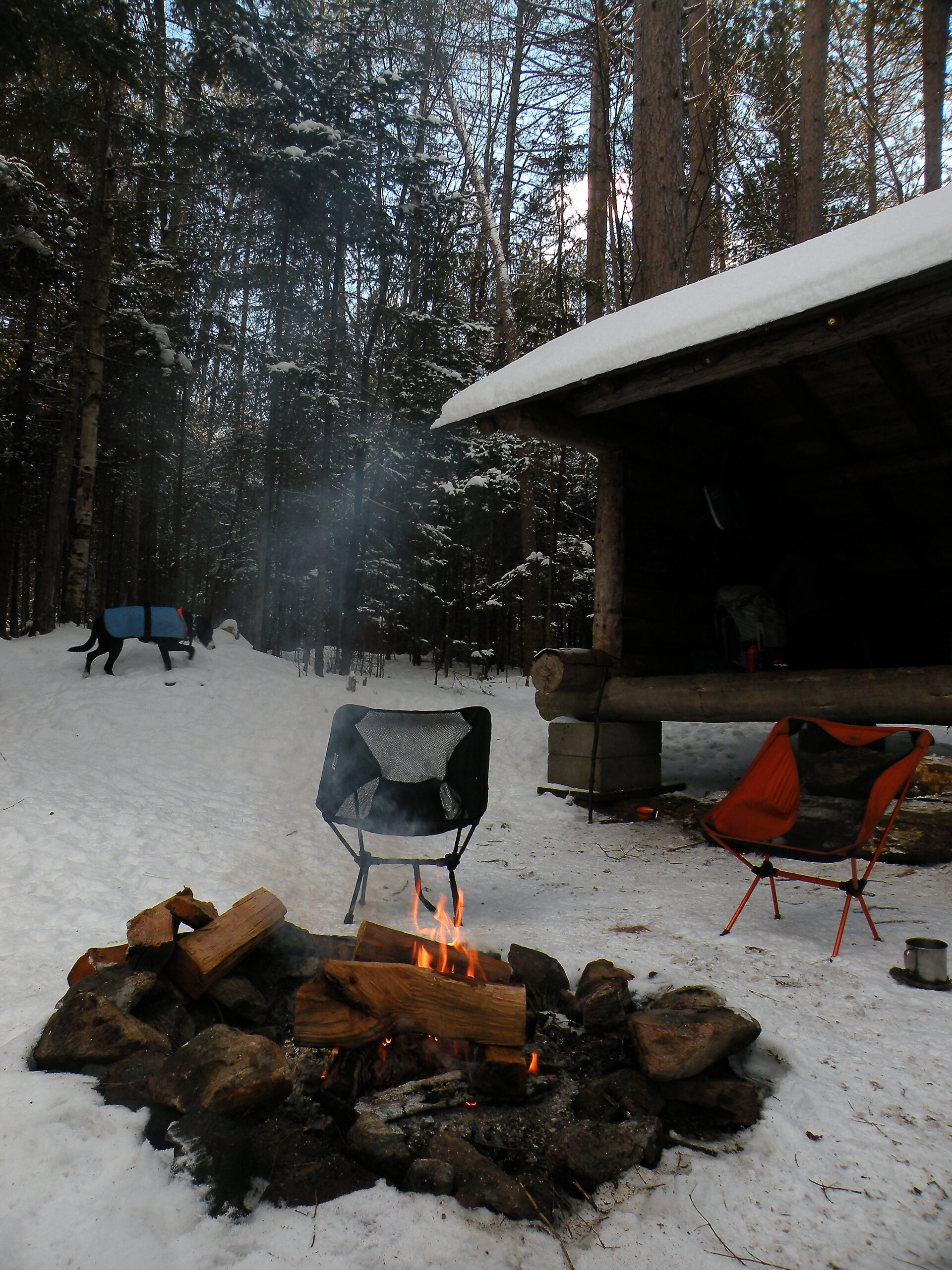
Designated campsites are scattered throughout the area, although the observant visitor may find the actual number of physical campsites in the field to be higher than the official number of sites approved by DEC. Always be on the lookout for the markers indicating the “designated” sites and avoid those that aren’t so marked. There are currently five lean-tos scattered along the trail system, a number that may or may not get winnowed down to three or four someday – state land managers have never been willing to commit to the removal of the two shelters they say should be removed, and thus they may yet remain after all.
A mini-campground of sorts exists near the canoe launch at Thirteenth Lake, the only one of its kind in a designated wilderness area; with several walk-in sites accessible from a graded path, it excels at convenience over isolation. The sites are available for free on a first-come basis.
For paddlers, the best option is Thirteenth Lake. The graded campground path mentioned above also leads to a sand beach where boats may be hand-launched, and the entire lake can be explored comfortably within a matter of hours. By contrast, only guests of the Cabins at Chimney Mountain rental facility may launch canoes and kayaks on Kings Flow, the next largest lake in the area. And paddlers seeking out any of the area’s myriad other ponds will need to contend with lengthy trail portages.
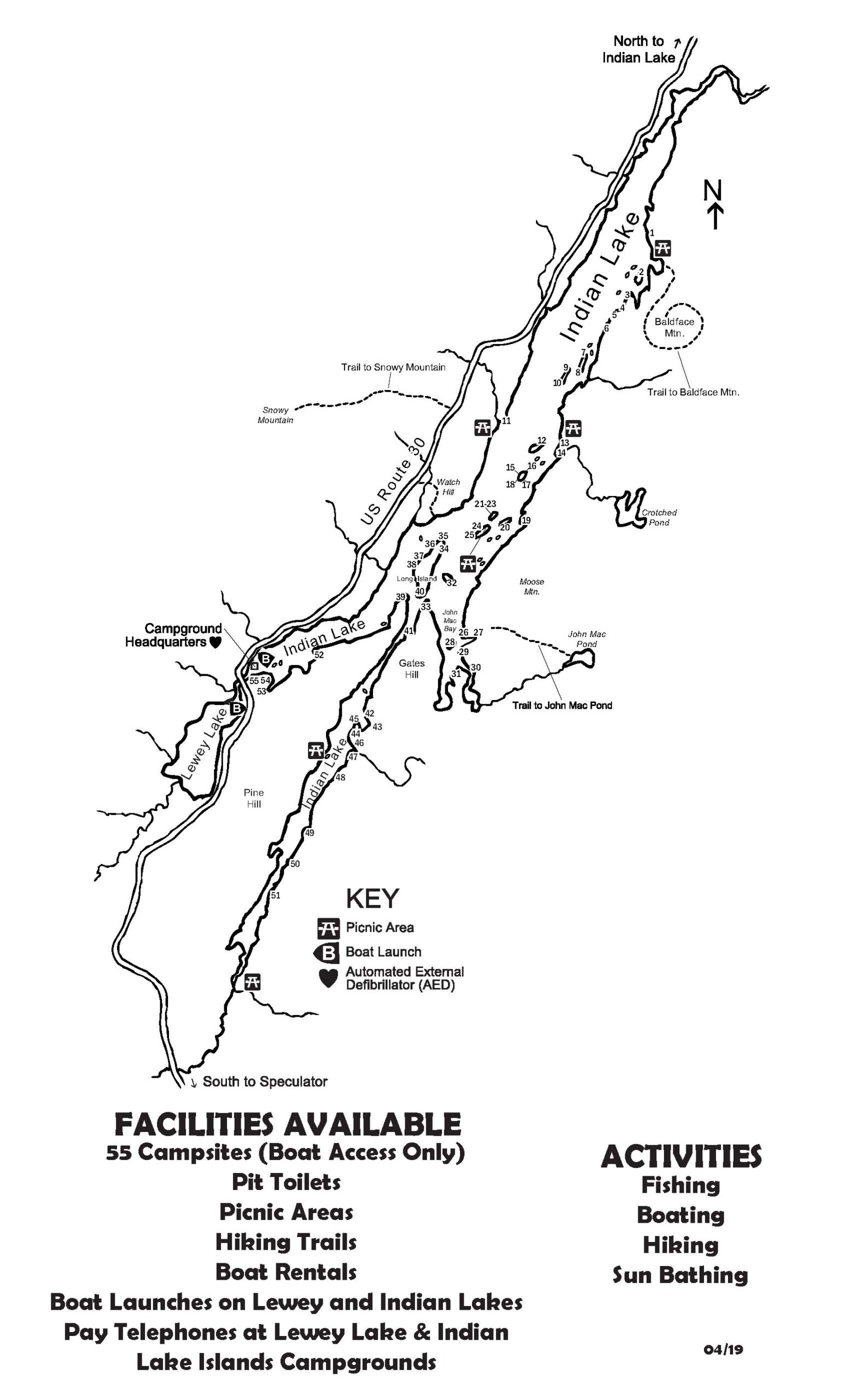
Special note should be made of the Indian Lake shoreline, which is technically part of the Siamese Ponds Wilderness but also managed as the Indian Lake Islands Campground. Like any of DEC’s other developed campgrounds, these sites can be reserved for a fee during the summer months. The caveat is that they are boat-accessible only. Canoes and kayaks will do, but paddlers must contend with the fact that Indian is a large and sometimes windy lake.
This part of the Adirondacks escaped the twentieth-century scourge of acid rain, and most of the fisheries have survived unimpaired. Not every pond is a trout pond, but none were rendered lifeless by pollution.
The Siamese Ponds Wilderness also has a long history with hunting. Because so much of the modern trail system is based on the old wagon road network, it was once common for backcountry hunting clubs to hire teamsters – i.e. local farmers – to haul in their gear to remote campsites. In theory this form of access is still authorized, but in practice it fell from prominence many years ago when the hunters grew old and local residents ceased being farmers. Some of the traditional campsites still exist, however, even if it is unclear how frequently many of them are now used.
Despite its human history, the Siamese Ponds Wilderness is not regarded as particularly threatened today. Its forests are healthy, and its waterways were not acidified. Recreation levels seem to be moderate, and while instances of misuse can be found if one looks hard enough, the same could be said of almost anyplace.
One outstanding management issue is the status of a snowmobile trail that cuts a corner through the southernmost tip of the wilderness. The route follows in part an active town road leading to a tiny inholding, which will remain so long as the inholding exists. Alternate routes for the snowmobile trail exist, but approval to build such a detour is dependent on completion of a management plan for the neighboring Wilcox Lake Wild Forest – a document that has been decades in the making, with nothing yet to show for the effort.
Much of the wilderness boundary follows natural features, such as the shore of Indian Lake or the banks of the Sacandaga River. These are effective boundaries against motorized trespass, better than any barricade contrived by people. The opposite can be seen where the wilderness boundary is merely an arbitrary line blazed through the forest, adjacent to private property in areas that are difficult to patrol. Well-used ATV trails can be found penetrating the Siamese Ponds Wilderness in at least three such sites: one in the Big Range, one west of Crotched Pond, and one along the shore of Round Pond.
Short of the state acquiring the Speculator Tree Farm in fee for the Forest Preserve, there is little opportunity for growth of this wilderness, other than the odd lot or inholding. The Siamese Ponds Wilderness is about as large as it will ever be. However, if access could be improved anywhere, it would be along the somewhat fragmented northern and northwestern boundaries, such as near Ruby Mountain or Crotched Pond. Famously, the state failed to acquire the north end of Kings Flow in the 1980s. Fortunately, though, trail access to Chimney Mountain and Puffer Pond has been maintained across private land.
The addition of the North Country Trail, which now traces an east-west course through the wilderness from Cisco to Halfway brooks, could alter visitor use patterns in the area. Curiously, the state completed this backpackers’ trail without adding any new campsites along the route. This could adversely affect the existing campsites at such scenic locations as Long Pond, Puffer Pond, and Elizabeth Point.
Cable crossings across the East Branch and its tributaries have long been an issue in the southern regions, where crossing the river is required to access the wilderness. Because the river can only be forded safely during low water levels, some visitors have strung cables from bank to bank as a means of getting across when the river is running high. The cables are not permitted under state land use regulations, but each time state officials remove them replacements appear within a short amount of time.
These maps of Johnsburg published in 1876 show the locations of residents in and around the eastern Siamese Ponds Wilderness. Sites labeled as belonging to Z. Van Dusen represent what is now known as Old Farm Clearing (near Thirteenth Lake) and Burnt Shanty Clearing (near Eleventh Mountain). Curtis Clearing can be found in Lot 143 to the west.
The following links leave the AWA website and take you to various pages on the Department of Environmental Conservation (DEC) website with more information on the Siamese Ponds Wilderness.
Siamese Ponds Wilderness Information Page. Learn important contact information and peruse a list of facilities.
Backcountry Information for the East Central Adirondacks. Trail conditions updated weekly for the Siamese Ponds Wilderness and neighboring areas.
Indian Lake Islands Campground. Learn about the available facilities and make campsite reservations at these sites on the western boundary of the Siamese Ponds Wilderness. (All campsites are boat-access only.)
Siamese Ponds Wilderness Unit Management Plan (2005). Download DEC’s official management plan, approved in 2005, as well as the 2017 amendment.
State Land Regulations. Review the complete list of DEC regulations.
All photos © Bill Ingersoll. Site visitors are permitted to download an unlimited number of images from our website for personal, educational, scientific, or professional use only, with attribution. Commercial use and further distribution of images is prohibited without express written permission.


