Sentinel Range Wilderness
Hiding in plain sight, the Sentinel Range Wilderness offers limited access for recreational use. However, solitude abounds in this mostly trail-less wilderness.
Sentinel Range Wilderness at a Glance
Size: 23,874 acres
First Designated: 1972
Unit Management Plan Status: Latest updated in 2020.
Special Regulations: None; standard Forest Preserve regulations are in effect
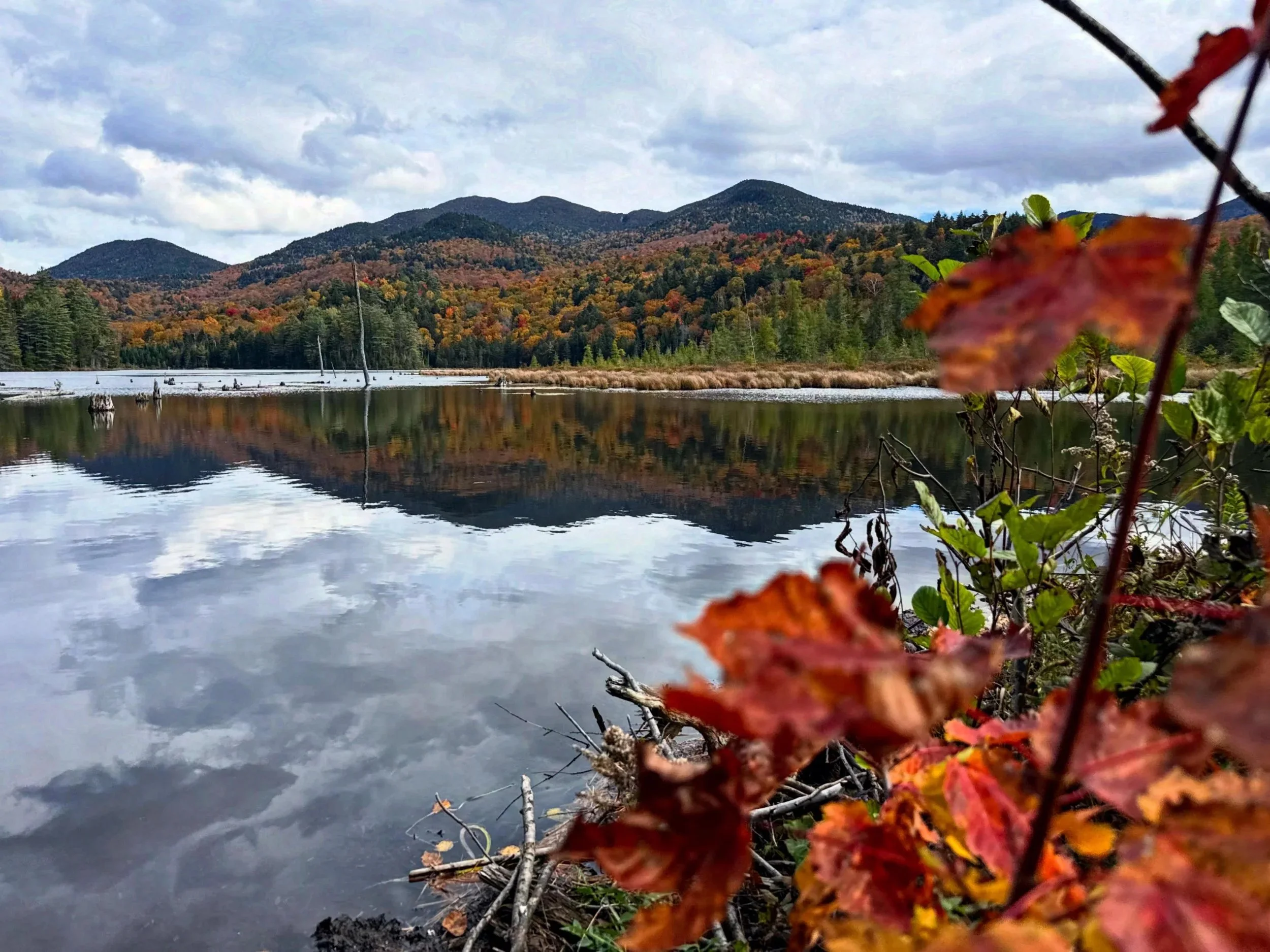
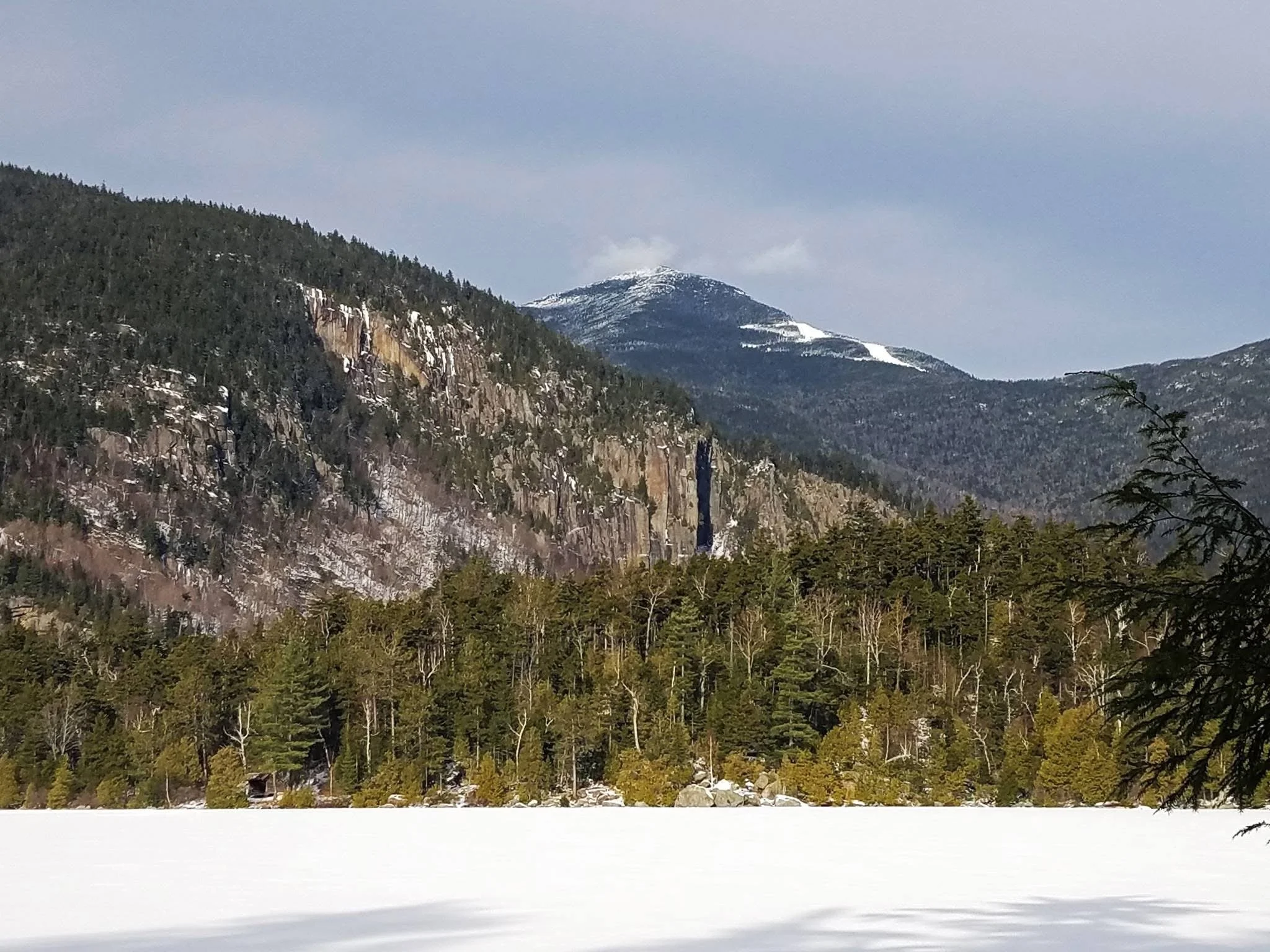
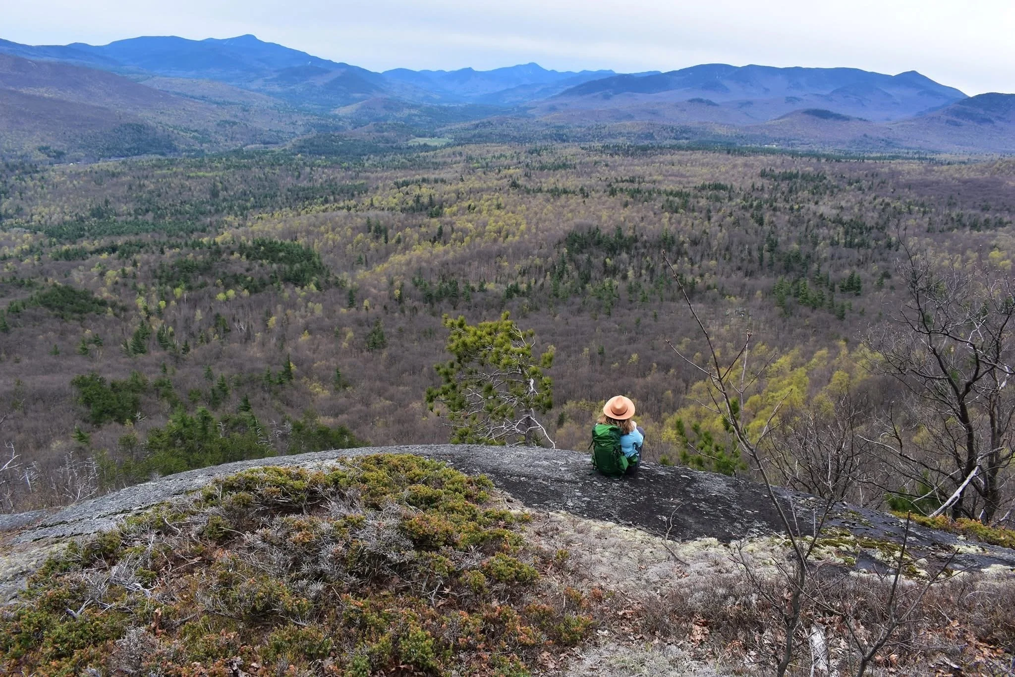
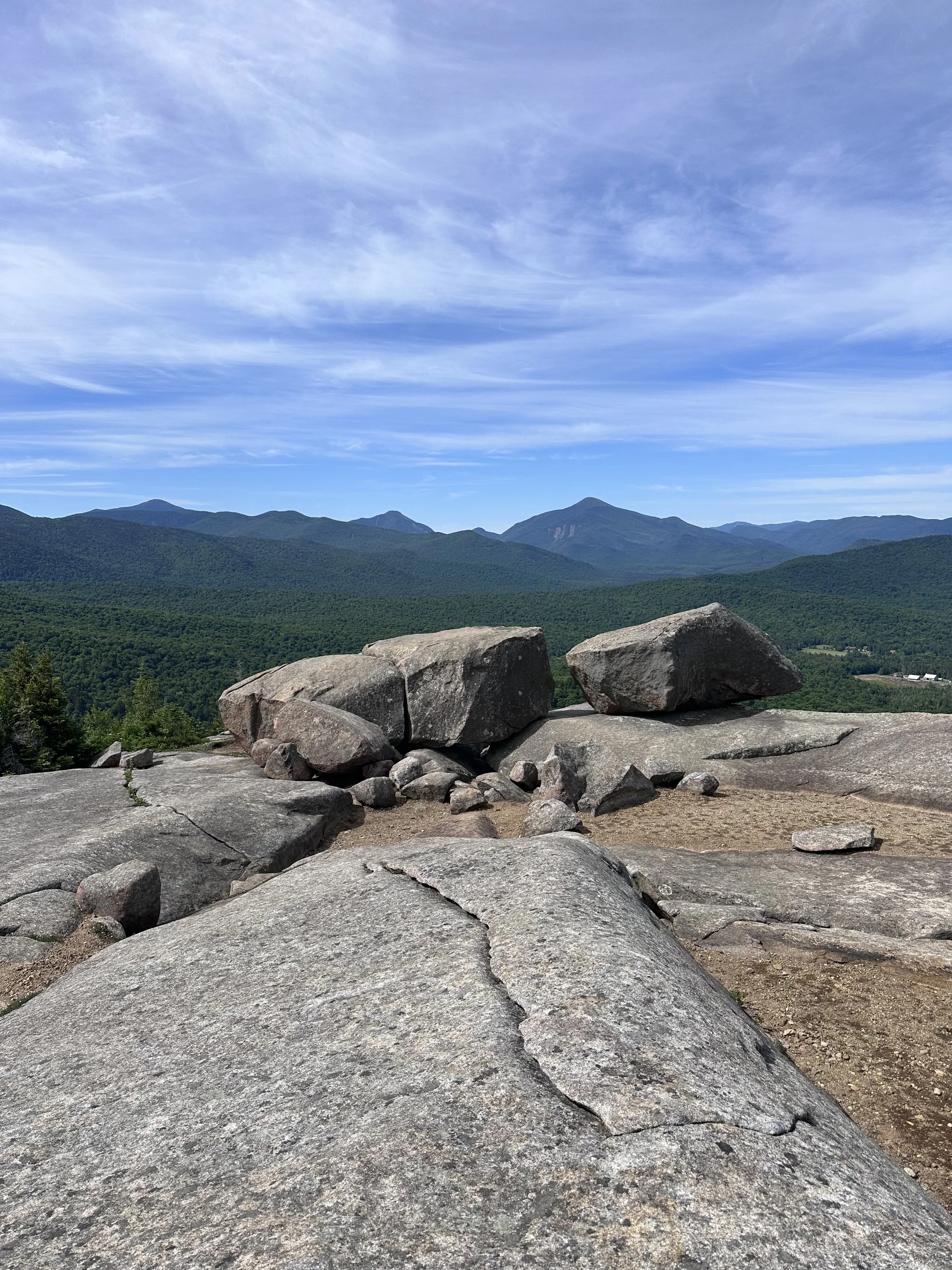
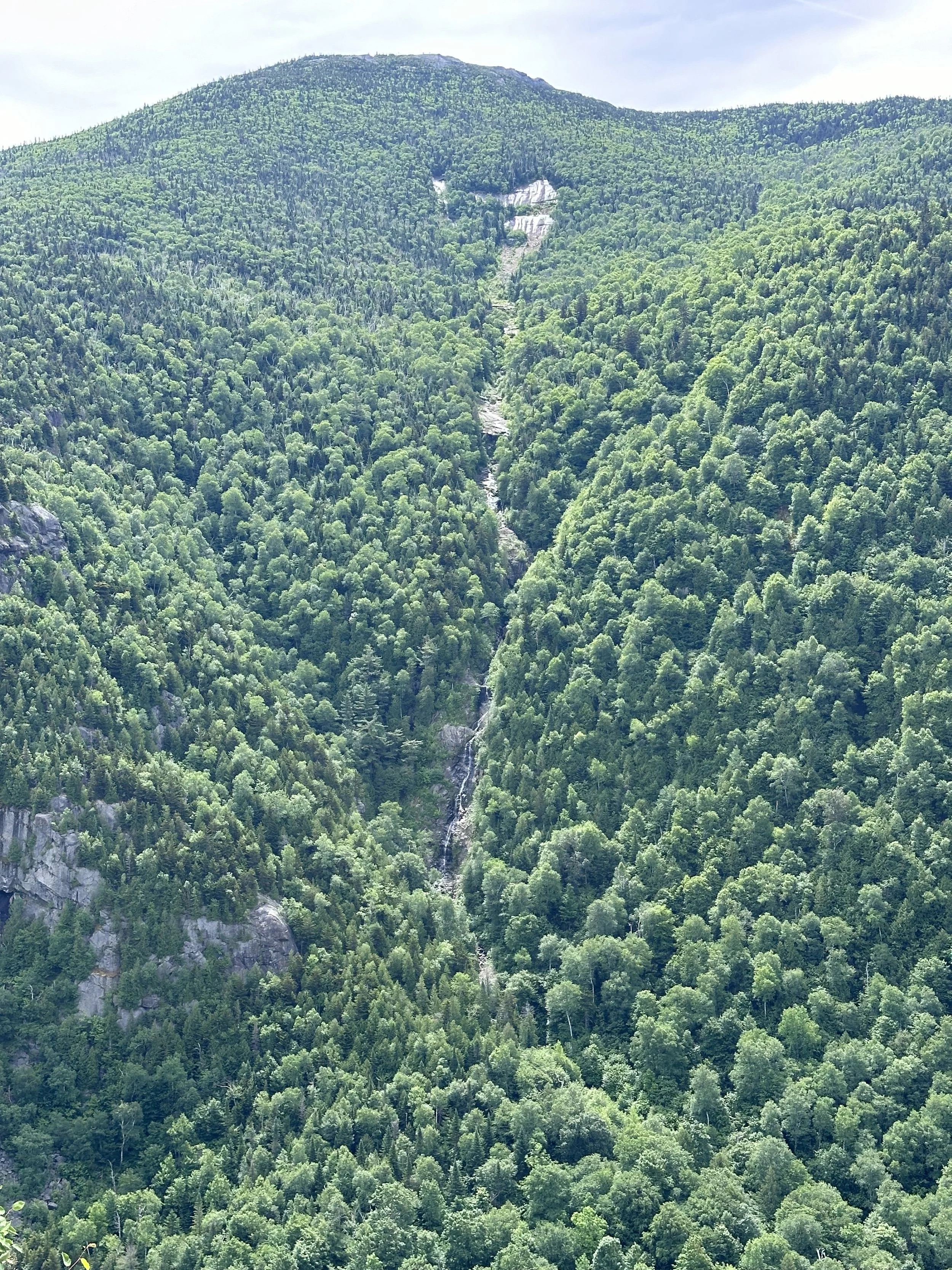
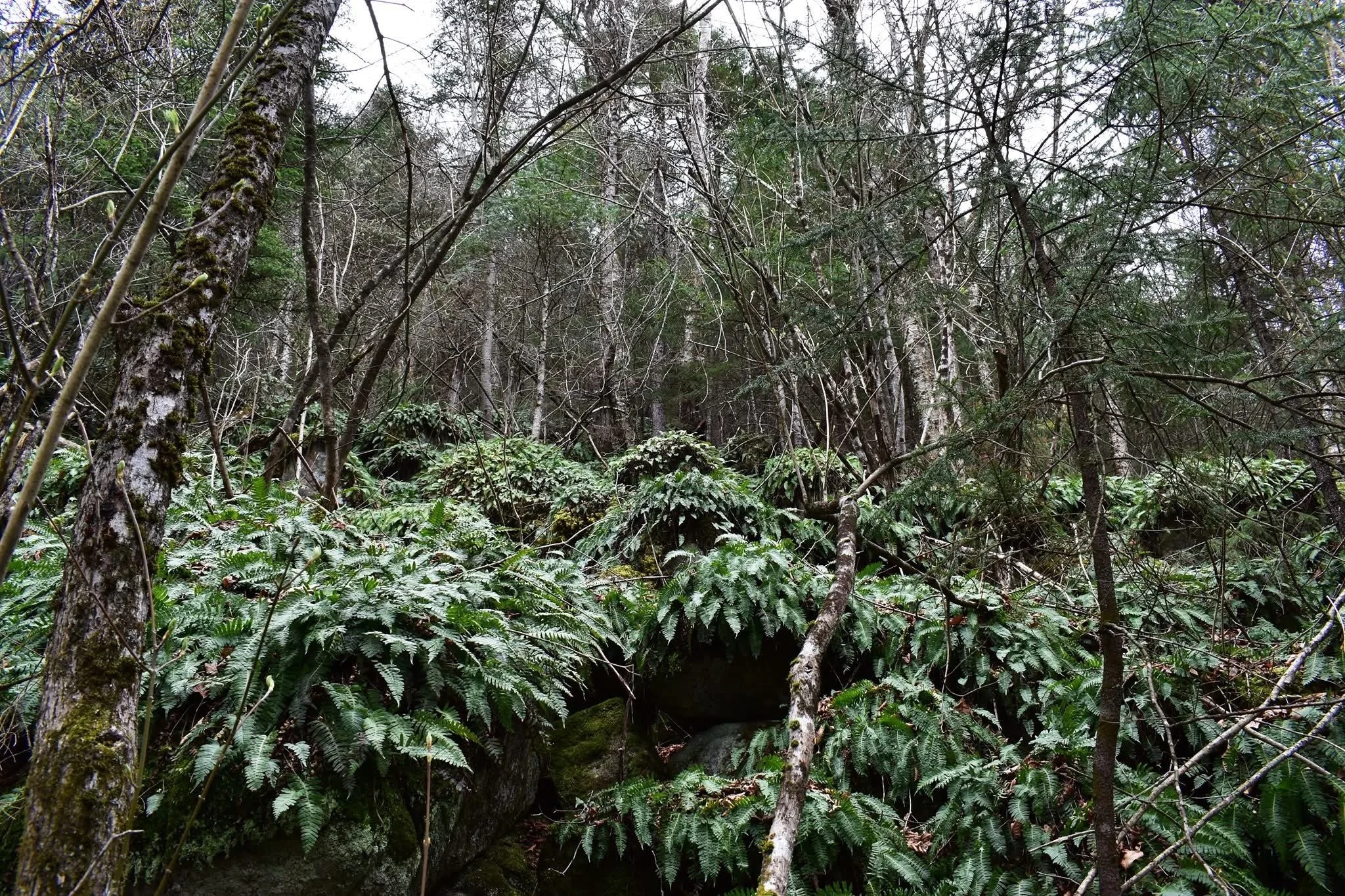
The Sentinel Range Wilderness Area encompasses rugged, mountainous terrain in the northeastern Adirondacks, dominated by the Sentinel Range with steep cliffs and dense forests. It features five small ponds, clear mountain streams, and mixed hardwood-softwood stands regenerated after historical forest fires. The area offers solitude and untrammeled exploration, with bare rock outcroppings from fires over 50 years ago adding to its wild character.
While not the biggest wilderness area in the Adirondacks, the Sentinel Range Wilderness makes up for it with fascinating history, incredible forests, and outstanding opportunities for exploration.
The Sentinel Range Wilderness is roughly outlined by Routes 86, 73, and 9N, and Springfield Road in Jay. In total, it’s 23,874-acres. That seems like a lot, but it’s only a fraction of the size of the nearby High Peaks Wilderness. Most of those acres are totally free of human influence. There are less than 11-miles of established trails in the entire Sentinel Range Wilderness. Most human activity occurs along the edges and boundaries, where popular trails like those at Pitchoff, Copperas Pond, and the Jackrabbit ski trail are located.

-
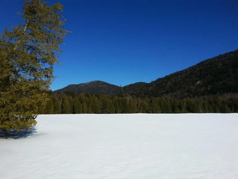
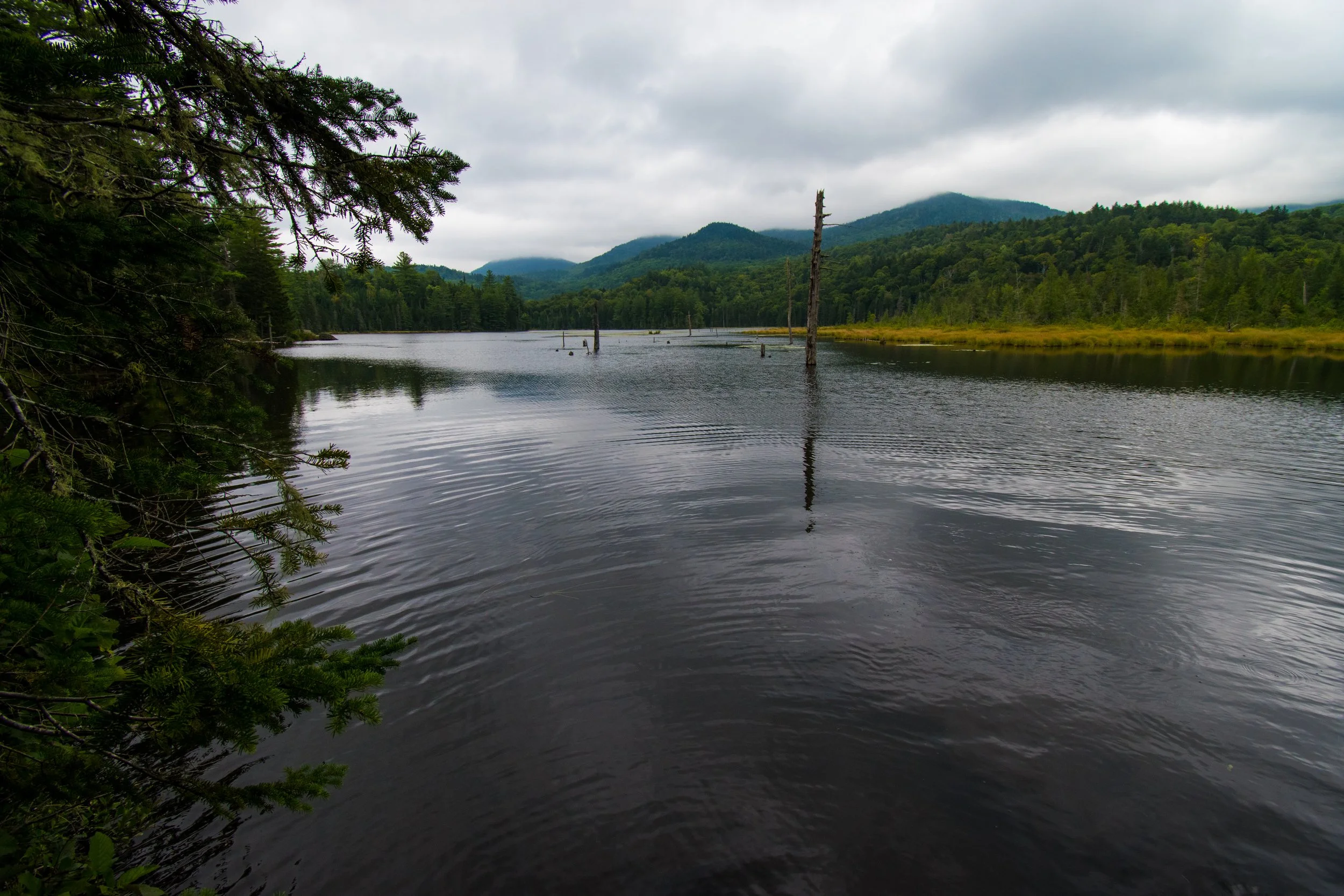
If you look at the Sentinel Range Wilderness on Google Maps, you’ll notice it’s mostly forested. In fact, only 2% of the unit is classified as wetland. There are eight ponds and several headwater streams that are tributaries to the Ausable River in the unit. Seven of these ponds contain brook trout.
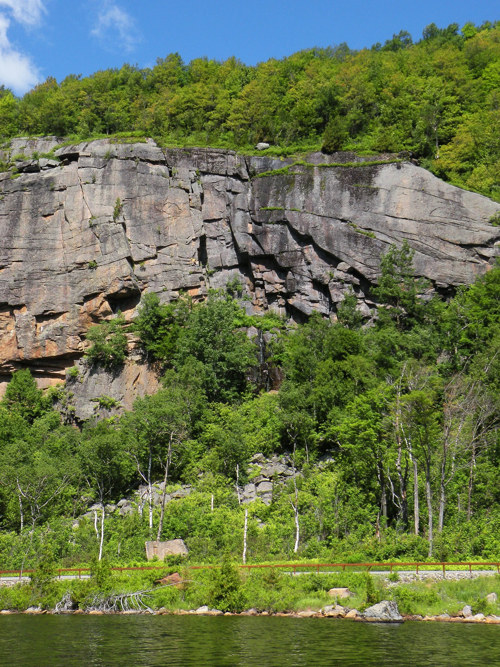
Bedrock in this area has been folded and faulted over the millennia to relieve underground, internal pressure. Valleys form in these areas, most following a north-northeast direction, and perhaps the most noticeable example is the Wilmington Notch. The steep, rocky cliffs of some of the mountains make great habitat for nesting Peregrine Falcons.
Much of the land in the Sentinel Range Wilderness is part of a transition zone between the boreal forests of the north and mixed hardwood forests to the south.
In 1903, large forest fires swept through the southern portion of this wilderness, leaving some summits burned over with exposed rock outcrops. There are some trailless summits in the Wilderness Area that have pure red pine stands, indicating past forest fires.
-
Lands in the Sentinel Range Wilderness were originally known as “The Old Military Tract.” This land was set aside by the state in 1786 as a memorial of public gratitude to compensate Revolutionary War veterans for their service. Unfortunately, much like many places across the Adirondacks, The Old Military Tract was deemed “too remote” to be of value, and there were no known settlements in the area until the beginning of the 19th Century, but even then the settlements were on the periphery. The communities of Keene, Jay, and Wilmington were formed.
Much of the logging in the area was done by J. And J. Rogers Company of Au Sable Forks. Beginning in the 1830s, this company soon became one of the largest iron and iron product producers in the country. This came at a cost, though; to supply the large output, thousands of acres of forest in the present-day Sentinel Range Wilderness were logged to create charcoal to fuel the forges.
J. And J. Rogers Company logged softwoods in the early 1900s. Logs were moved to the Ausable River to be floated to the mill in Au Sable Forks. Some were first brought to Owen Pond, where they would then be driven to the Ausable River.
-
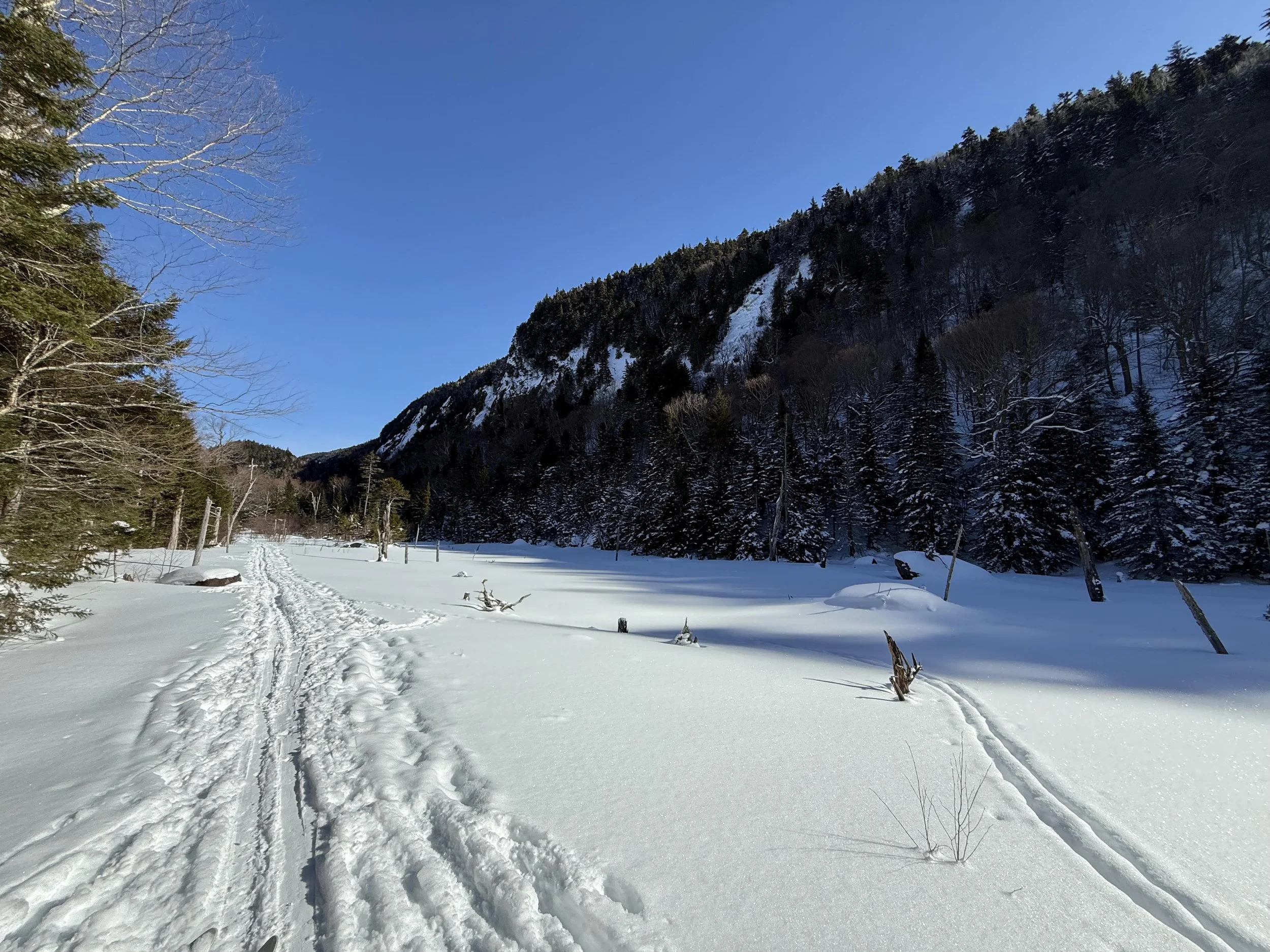
You’re probably aware that the Olympic Winter Games were hosted not once, but TWICE, in Lake Placid, New York, which is just down the street from the Sentinel Range Wilderness. While Olympic venues like Whiteface Mountain are the stars of the show today, there are some wild places with Olympic legacy. Prior to the 1932 Games, cross-country ski trails were cut around Whiteface, Street, and Nye mountains and Mount Van Hoevenberg, and the existing North and South Notch ski trails in the Sentinel Range were improved. When the Olympics were held in February 1932, a thaw melted much of the snow in the area before all of the events were completed. The North and South Notch Trail loop was chosen for the 50-kilometer ski race because it had the best snow conditions of all available trails.
Do the North and South Notch ski trails still exist? Kind of. They’ve been abandoned and are no longer maintained, but those with dedication and good map and compass skills can find traces of these trails in the thick forest. In the 1970s and 1980s, while many were swept up in the craze of resort skiing, there was a renewed interest in cross-country skiing. In 1986, some work was done to reopen certain historic ski trails, including what is now the famous Jackrabbit Trail.
-
The ongoing questions and concerns surrounding Old Mountain Road offer some insights about threats to this Wilderness area. Today it is known as the Old Mountain Road section of the Jackrabbit Ski Trail, but when it was originally cut at the end of the 18th century, this thoroughfare was a main corridor through the wilderness.
-
The following links leave the AWA website and take you to various pages on the Department of Environmental Conservation (DEC) website with more information on the Sentinel Range Wilderness.
Sentinel Range Wilderness Information Page. Learn important contact information and peruse a list of facilities.
Backcountry Information for the Adirondacks. Trail conditions updated weekly for the Sentinel Range and neighboring areas.
Sentinel Range Wilderness Unit Management Plan (2020). Download DEC’s official management plan, approved in 2020.
State Land Regulations. Review the complete list of DEC regulations.
Maps of the Sentinel Range Wilderness and the Surrounding Area
Below is the current DEC map of the wilderness and its facilities. Click map to enlarge.
Sentinel Range Wilderness Map
Sentinel Range Wilderness Image Gallery