Giant Mountain Wilderness
Compact, Rocky and Spectacular
Giant Mountain Wilderness at a Glance
Size: 23,688 acres
First Designated: 1972
Unit Management Plan Status: Completed in January 2004
Special Regulations: None specific to this unit; standard Forest Preserve regulations are in effect
The Giant Mountain Wilderness covers a series of connected high ridges in the towns of Keene and Elizabethtown, Essex County. From west to east it takes in Hopkins Mountain, Giant Mountain, Rocky Peak Ridge and Bald Mountain. State highways bound it on every side: Route 73 on the west, Route 9N on the north, and US Route 9 on the south and east. It rises steeply on all sides with little flat terrain to be found.
Most people experience this area as they drive by it on the way to Lake Placid from the Northway along Route 73. Those who choose to explore more deeply will most likely go up one of the trails leading to the summit of Giant, which, after Cascade, is one of the most accessible High Peaks and offers rewarding views much of the way up. Both groups will surely experience the vast landscape of parked cars and people walking along the road to get to the trail start, especially on summer weekends.
One can “circumnavigate” this entire area by car in just over 1/2 hour. By contrast, a similar drive around the neighboring High Peaks Wilderness Area would take about 2 1/2 hours: about 5 times longer. At roughly 24,000 acres, it is one of the Adirondacks’ smaller wilderness areas.
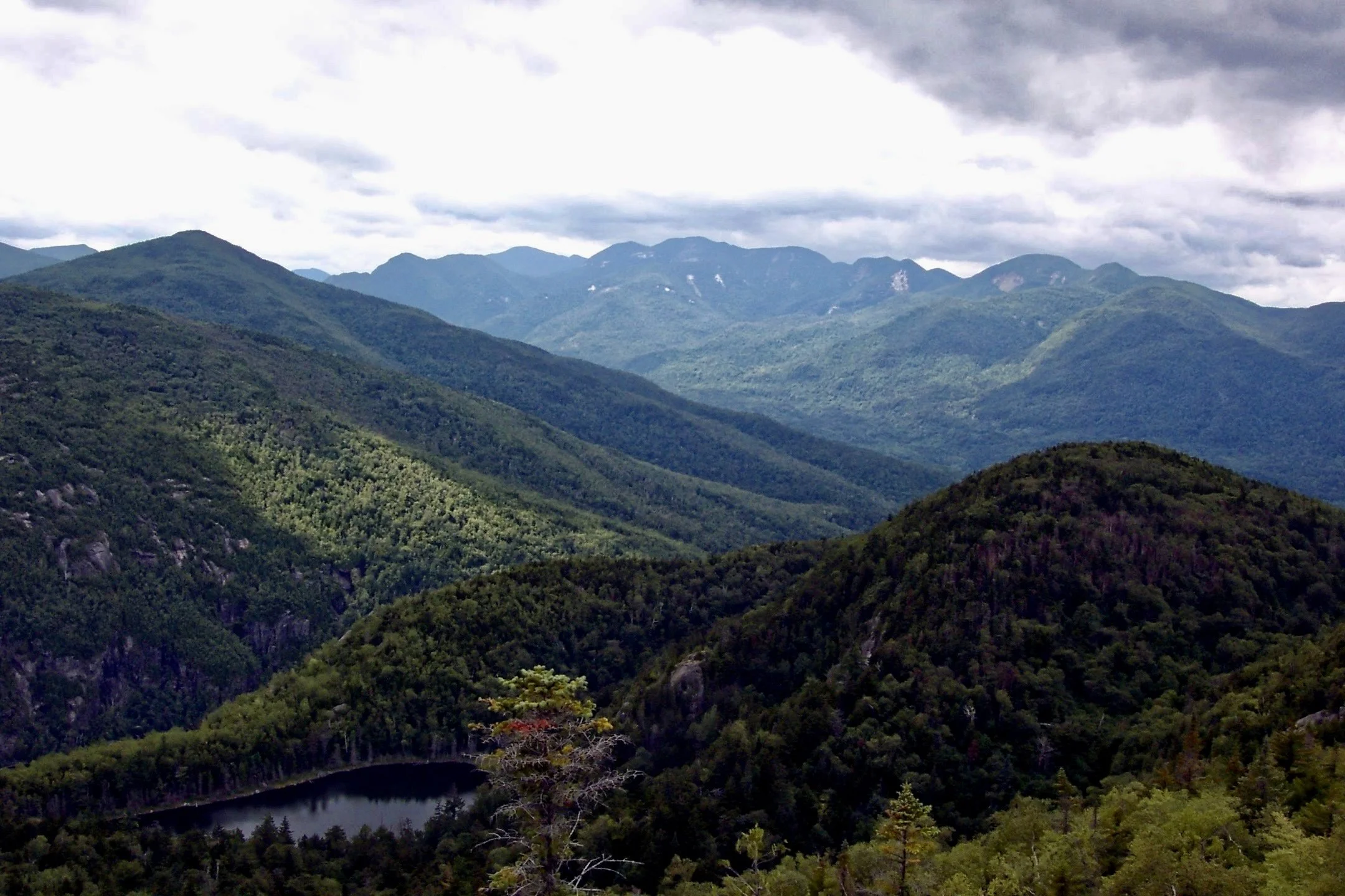
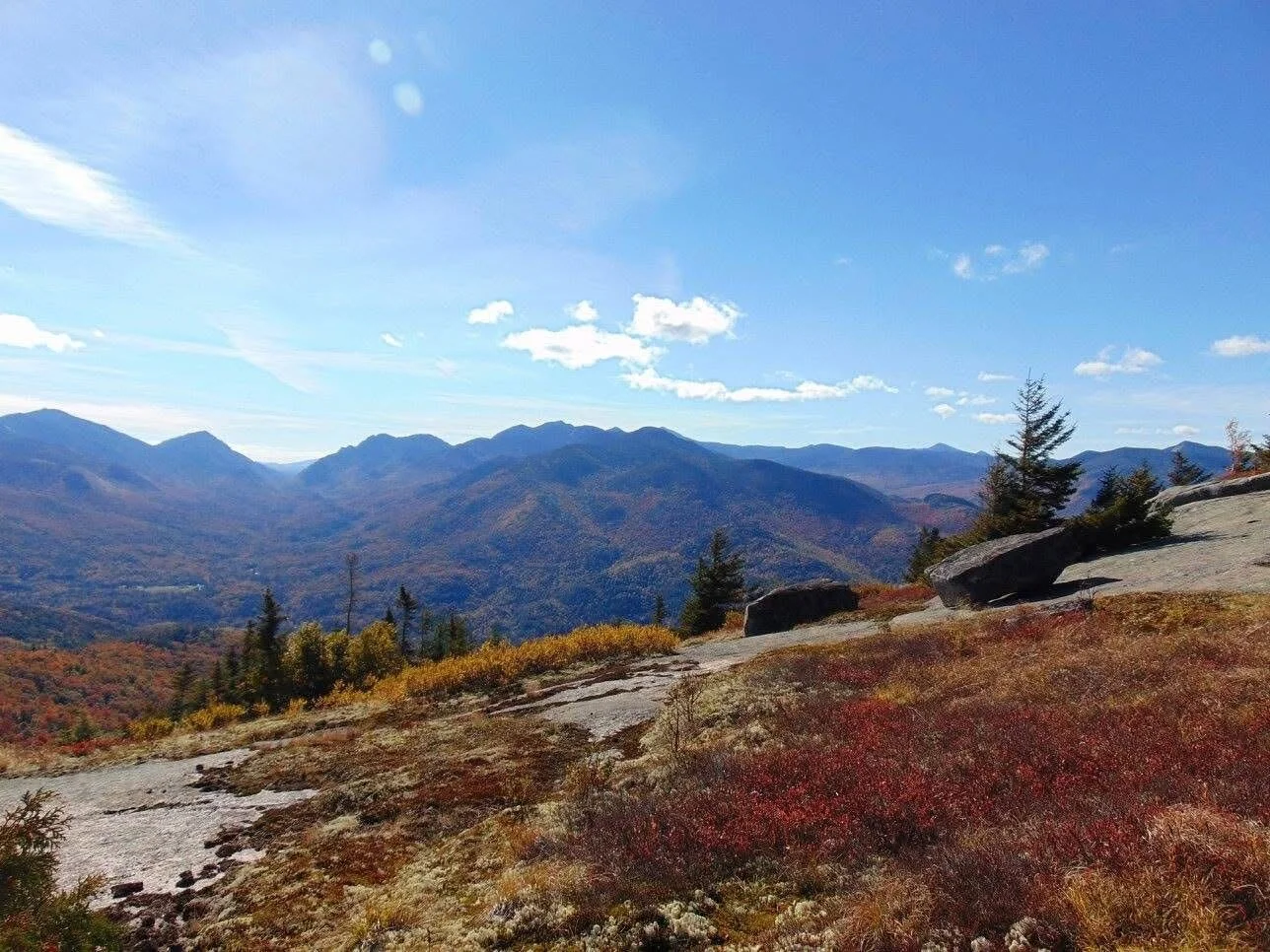
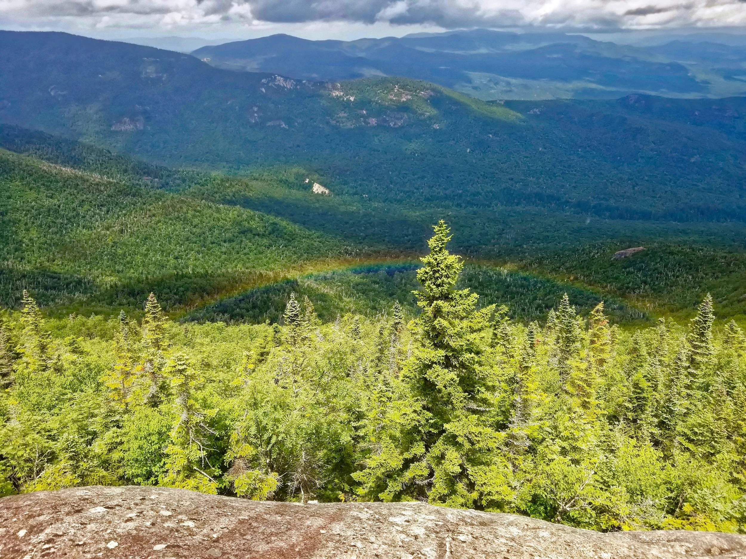
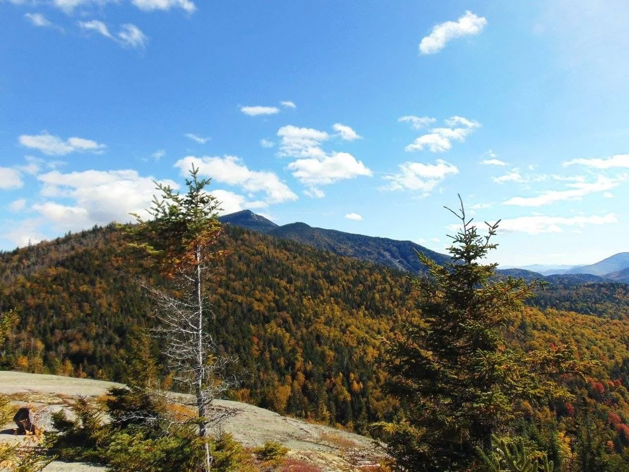
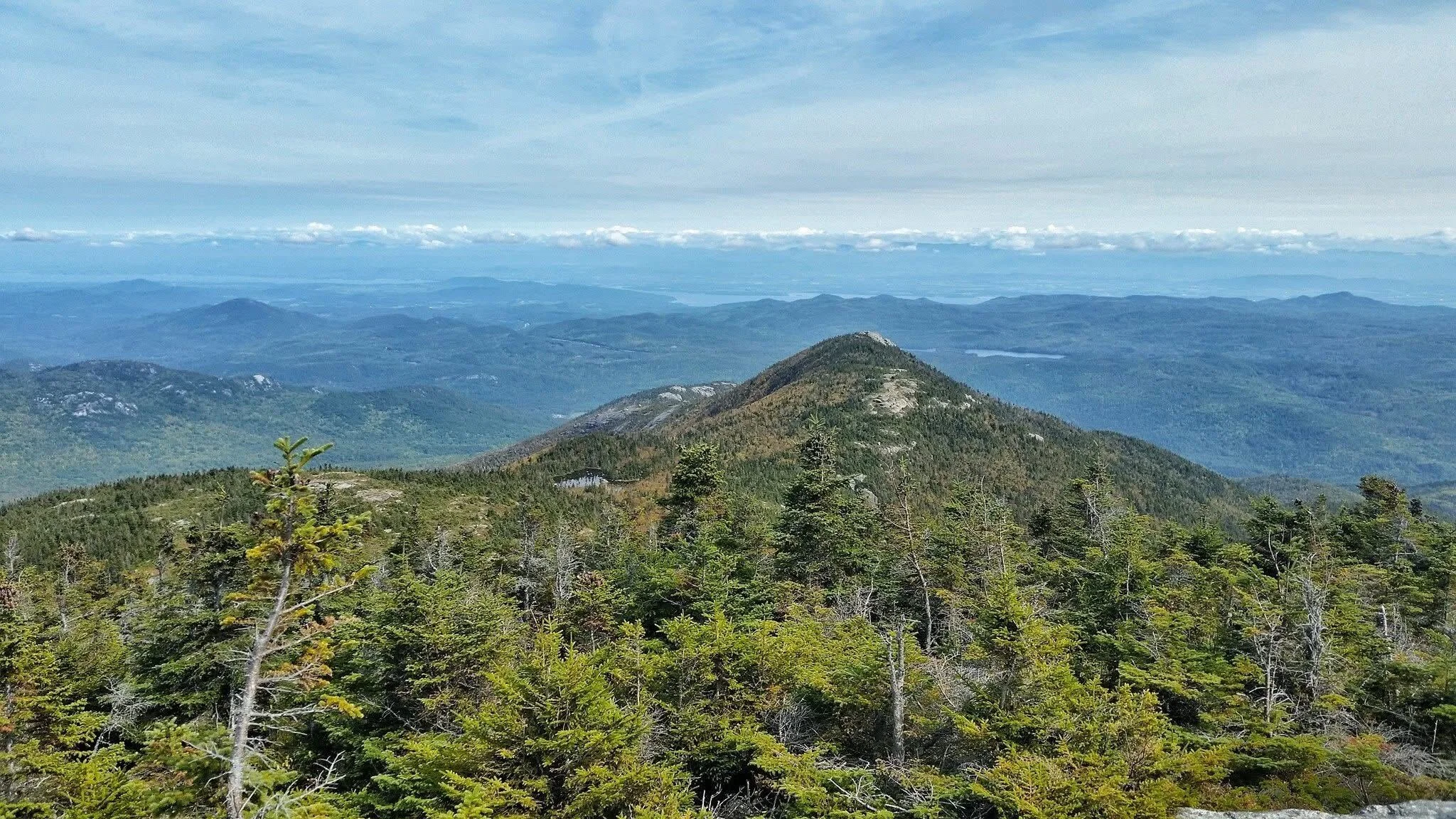
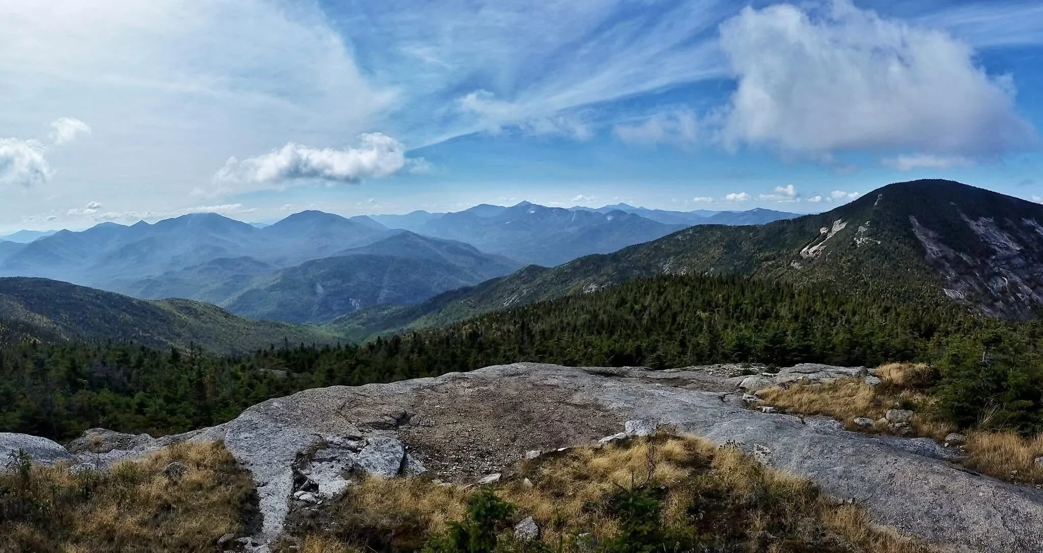
With roads all around it, the unit has almost no remote interior by our usual measure of remoteness, three miles from the nearest road. What it has instead is relief. Much of the upper ridge is bare rock, the result of fires early in the twentieth century rather than true alpine terrain, and the views from it take in the Great Range to the west and the Champlain Valley to the east.
Easy access brings heavy use, most of it at the Route 73 trailheads. When the State convened the High Peaks Strategic Planning Advisory Group in 2019, its charge included the Giant Mountain Wilderness along with the High Peaks and the Route 73 corridor between them. AWA was one of the organizations appointed to it, and visitor use gets as much attention on this page as natural history.
Please click through the sections below to learn more about the Giant Mountain Wilderness.

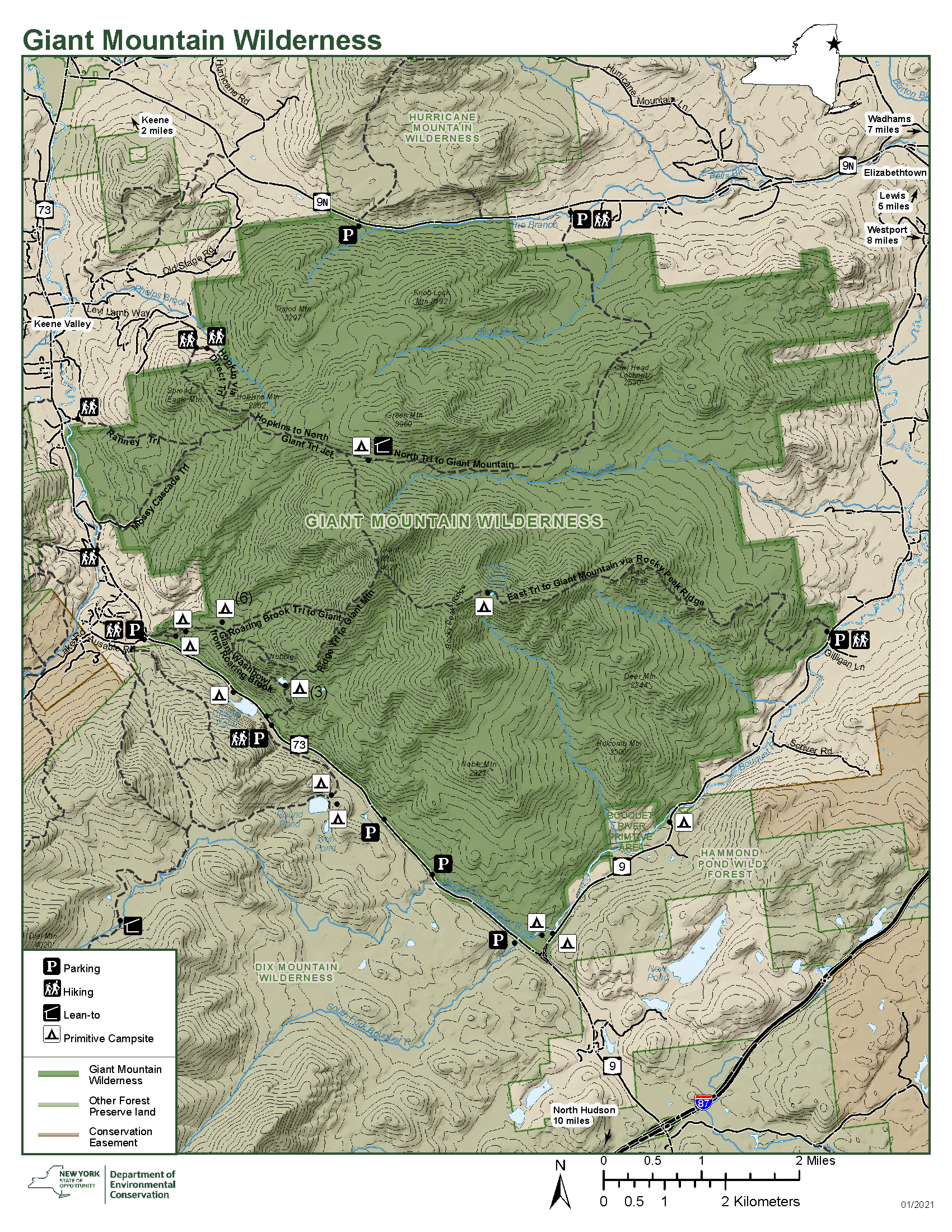
DEC Map of the Giant Mountain Wilderness
-
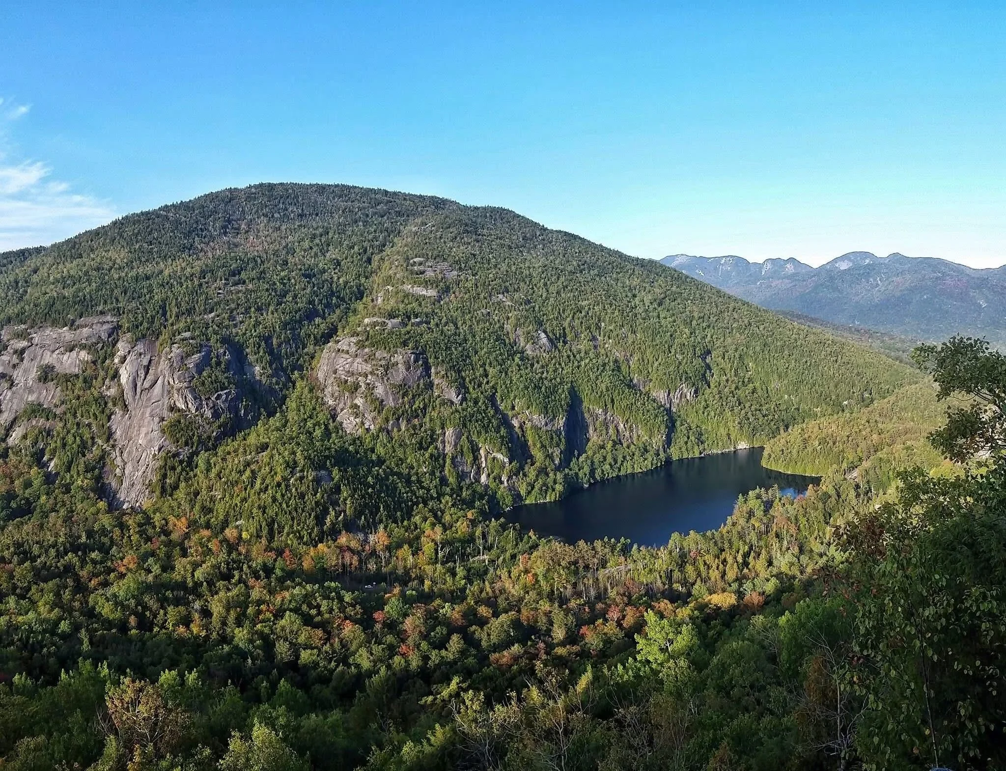
Giant Mountain, at 4,627 feet, is the twelfth highest summit in New York. Rocky Peak Ridge, a mile and a half east along the crest, reaches 4,420 feet. They are the only two summits in the unit above 4,000 feet, but the more telling figure is relief: the land drops 4,102 feet from Giant's summit to the Boquet River valley. Few Adirondack mountains rise so abruptly from their own foothills, and the trails here are known more for their steepness than their length.
Slides and rockfall are common on Giant, on Rocky Peak Ridge, and on the cliffs along Route 73. Many of the slides visible today are recent. In 1963 a storm dropped four and a half inches of rain on the area in two and a half hours, and many of the bare tracks on Giant's western face date from that storm.
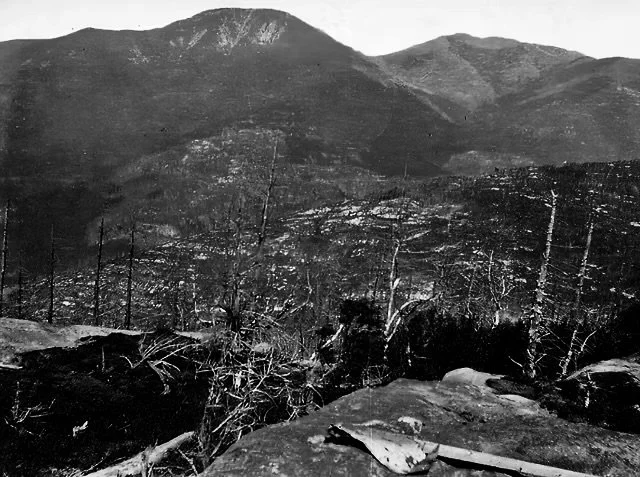
Fire shaped this wilderness more than anything else. In 1903, after a 72-day drought, fires fed by logging slash and driven by high winds burned some 600,000 acres across the Adirondacks. They reached Cascade, Dix, Giant, Porter, Mount Van Hoevenberg and Big Slide, and threatened Keene, Keene Valley and St. Huberts. Fires in 1908 and 1909 burned another 300,000 acres across the Park. A 1916 Conservation Department map shows that a third of this unit burned. About half the unit had been logged by then, and only one percent of the logged land escaped the fires. On Giant and Rocky Peak Ridge they burned the soil down to bedrock.
The long open crest between Rocky Peak Ridge and Bald Mountain, with its blueberry heath, stunted birch and bare stone, is the result. It is often taken for alpine habitat, but true alpine vegetation here is limited to small pockets near Giant's summit. The New York Natural Heritage Program has documented a distinctive community of about forty acres on Rocky Peak Ridge. The rest of the open ridge is a fire scar that has been slowly revegetating for more than a century. Where softwoods were removed by logging or fire, northern hardwoods have taken their place.
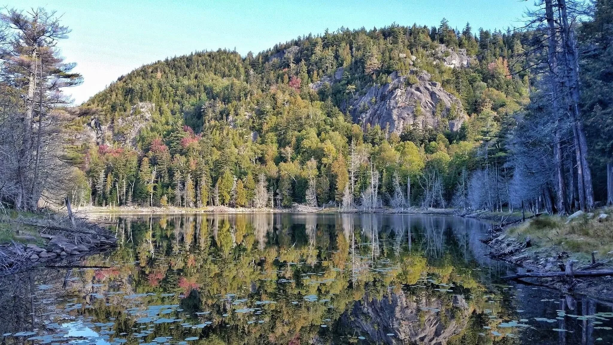
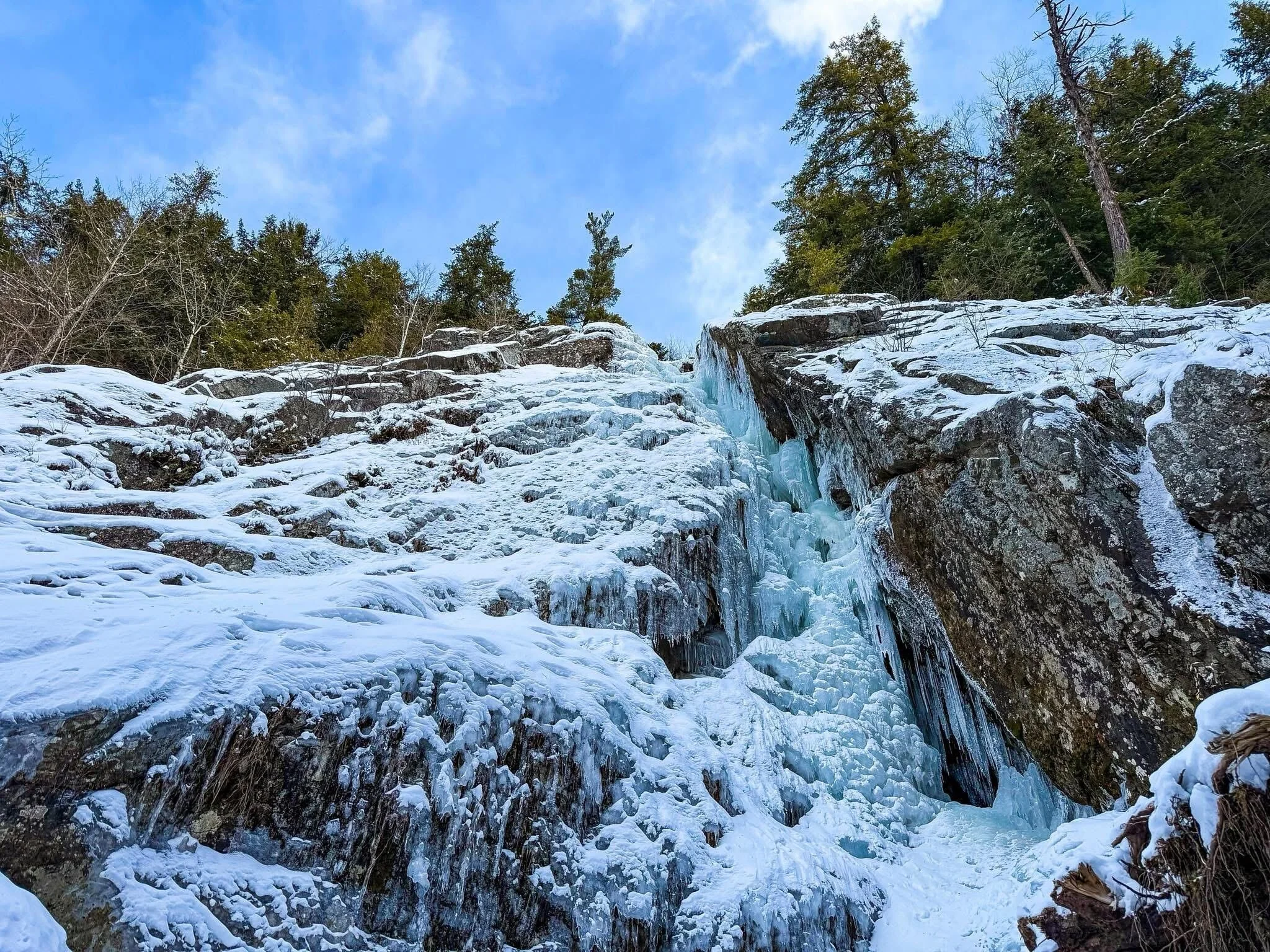
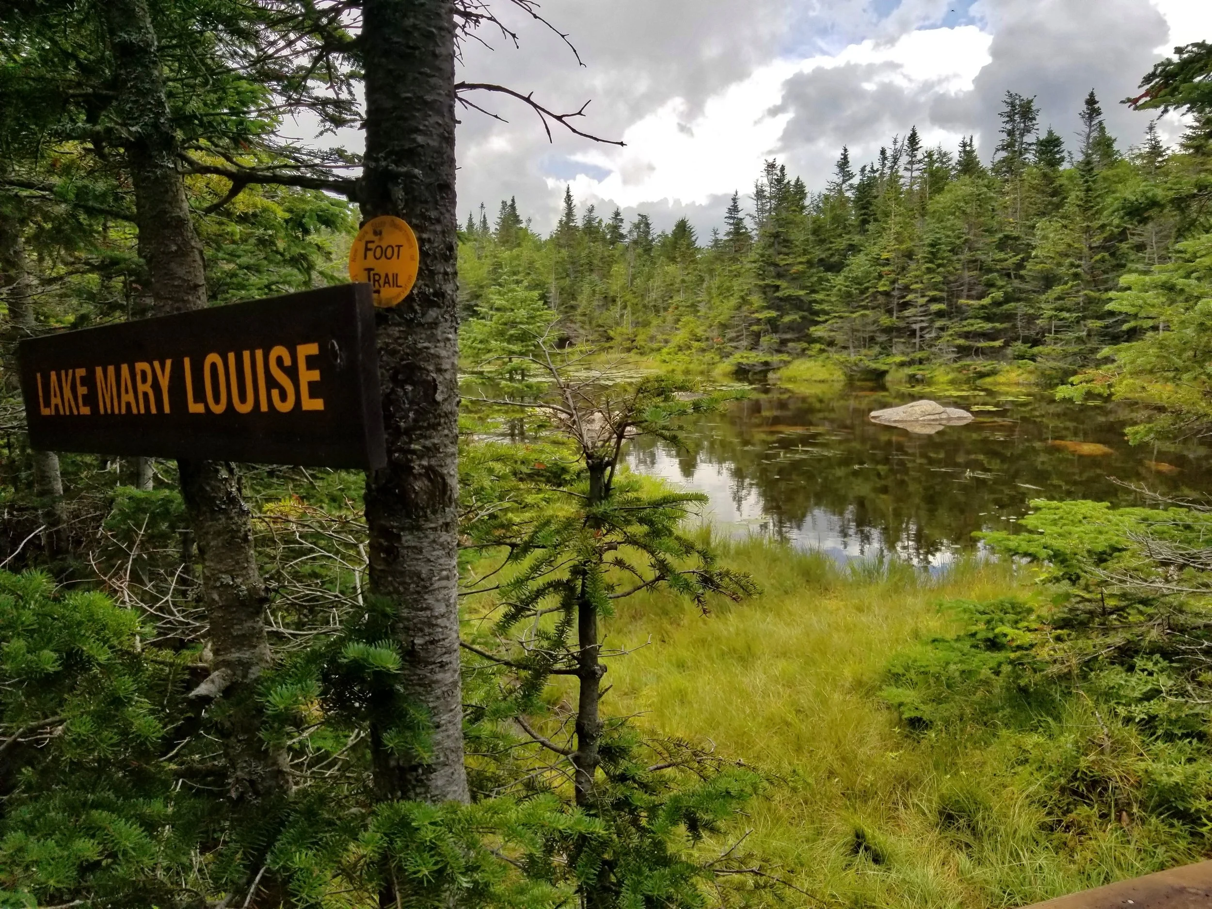
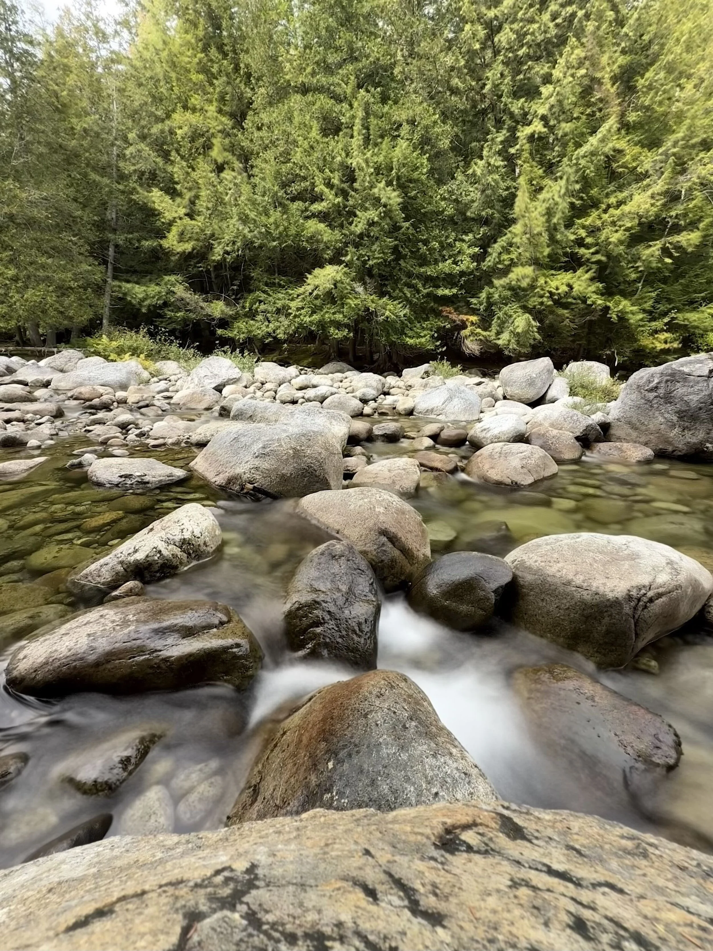
There is little standing water, only two or three ponds totaling six or seven acres. The best known is Giant's Washbowl, a 4.2-acre tarn on a shelf below the Ridge Trail, twenty-three feet deep at most, with a self-sustaining population of Windfall heritage strain brook trout. Marie Louise Pond lies high on the eastern shoulder of Rocky Peak Ridge and is reached only by the long East Trail. Otherwise the water runs in steep, cold brooks, east to the Boquet and west to the Ausable. The largest is Roaring Brook, which drops from the notch between Giant and Hopkins in a waterfall of three steps totaling roughly 270 feet.
Ravens nest on the Washbowl cliffs, having returned after a long absence in the twentieth century. Peregrine falcons have nested at Cobble Hill, Knob Lock Mountain and the Lower Washbowl cliffs, and DEC uses seasonal climbing closures to protect active nests. Small deer wintering areas lie at the mouths of Stevens Brook, Slide Brook, and an unnamed brook off Iron Mountain on the eastern edge.
-
Giant is generally credited as the first of the High Peaks to be climbed. On June 2, 1797, a survey party under Charles Broadhead crossed the summit because the line they were running went over it. Our essay on Russell M.L. Carson and Peaks and People of the Adirondacks covers the naming and lore that grew up around these mountains afterward.
Trails followed about seventy years later. Orson "Old Mountain" Phelps cut the first route from Keene Valley over Hopkins Mountain in 1866, and that same year he and his son opened a route toward Giant. Orlando Beede and Alfred Reed cut the trails from Roaring Brook Falls around 1873, and in 1874 a trail was cut from Elizabethtown as part of Verplanck Colvin's Adirondack Survey. A trail from New Russia dates from the 1880s. It was later abandoned, and today's East Trail follows a different line. These are the same guides and surveyors who laid out much of the eastern High Peaks trail network, as described in A Short History of Adirondack Trail Building and Trails in the Mountain Pleasure Grounds.
The western slopes above Keene and Keene Valley were logged heavily, in part by the J. & J. Rogers Company of AuSable Forks, which also logged the Jay and Hurricane ranges to the north. On the Elizabethtown side, small iron mines and charcoal kilns operated from the early 1800s through the 1880s. Most were short-lived, and all of them consumed large amounts of wood. Iron Mountain is named for that period.
After the fires, most of what is now the wilderness came to the State before the 1920s, as timber companies and large landowners sold off or abandoned land that had been cut and burned. The neighboring Jay and Hurricane wilderness areas share this history, and in all three, much of the open scenery hikers come for is the product of logging and fire.
The Giant Mountain Wilderness was designated in 1972 in the first Adirondack Park State Land Master Plan, along with the Dix Mountain and High Peaks wilderness areas. Dix was merged into the High Peaks Wilderness in 2018. Giant remains a separate unit and is still managed under its 2004 unit management plan.
The same plan covers the Boquet River Primitive Area, 88.5 acres in the Town of Elizabethtown near Split Rock Falls on Route 9. It is classified Primitive rather than Wilderness because a right-of-way crosses it to reach a 127-acre private inholding surrounded by Forest Preserve. If the State acquired the inholding, the parcel could be reclassified as Wilderness.
-
About thirty miles of marked trail serve the wilderness, and five routes reach Giant's summit. Nearly all of them are steep.
The Ridge Trail, also called the Zander Scott Trail, climbs about three miles and 3,050 feet from Route 73. Much of it crosses open, water-polished rock with views back to the Great Range. Giant's Washbowl is at 0.7 mile, and at 1.0 mile a half-mile spur leads to Giant's Nubble, a lower knob with a close view of the slides.
The Roaring Brook Trail climbs 3.4 miles and 3,375 feet from its own trailhead a little farther along Route 73, passing the top of Roaring Brook Falls at half a mile. The falls are one of the most visited destinations in the wilderness, and the parking fills early on summer weekends.
The North Trail runs 7.6 miles and 3,327 feet from Route 9N. At 2.5 miles a 0.1-mile spur leads to Owl Head Lookout, a ledge with a long view down the valley that sees far less use than the Route 73 destinations. The unit's only lean-to is at 5.7 miles.
The East Trail from New Russia is the longest approach: about eight miles and 5,300 feet of ascent to Giant, passing Blueberry Cobbles at 1.9 miles, Bald Mountain at 3.9, Marie Louise Pond at 6.1 and Rocky Peak Ridge at 6.7. Long sections cross open, burned-over rock, and it sees a fraction of the traffic of the Route 73 trailheads. Rocky Peak Ridge can also be reached from Giant's summit, a three-mile round trip with more than 1,450 feet of ascent.
Hopkins Mountain (3,184 feet) has four trails from three trailheads: the Mossy Cascade Trail (3.2 miles, with its first mile on private land), the Ranney Trail (2.7 miles), and the Direct and Spread Eagle trails from Beede Farm. Both Beede Farm trails begin with 1.4 miles on private lanes that are closed to vehicles but open to hikers. Please respect the landowners who allow this access.
Camping is limited. There are sixteen designated primitive tent sites: eight along the Roaring Brook Falls Trail, three near Giant's Washbowl, two near the junction of the North and South Forks of the Boquet, one along the Boquet off Route 9N, and one near Marie Louise Pond. The North Trail lean-to is the only shelter. Most visitors come for the day.
Rock and ice climbing is a major use. The cliffs in the southwestern corner of the wilderness, including the Upper and Lower Washbowl cliffs and the Spider's Web, are among the most important climbing areas in the Northeast. Giant's slides also attract slide climbers and, in winter, backcountry skiers. Check for seasonal raptor closures before climbing.
Fishing is limited to Giant's Washbowl, for brook trout, and small brooks with native fish. Hunting and trapping are permitted throughout the wilderness. Skiing and snowshoeing are allowed on all trails, but the steep, exposed rock that draws hikers in summer is dangerous when iced, and the upper Ridge Trail in winter calls for full winter equipment and conservative judgment.
A weekend Route 73 hiker shuttle has run as a pilot from Marcy Field in Keene, with stops at the Ridge Trail and Roaring Brook Falls trailheads.
-
The main pressure on the Giant Mountain Wilderness is heavy recreational use, not motors, mining or road claims.
The unit covers 23,688 acres and is surrounded by state highways. Its best-known destinations, including Roaring Brook Falls, the Washbowl, the Nubble and the Ridge Trail, are within a mile or two of Route 73. A hiker can decide mid-morning to climb a High Peak here and be on open rock by lunch. That access has real value, and it also explains why the worst documented soil erosion in the unit is on the Route 73 approaches.
Displacement from the High Peaks adds to that pressure. DEC's 2004 management plan for this unit noted that tighter restrictions in the neighboring High Peaks Wilderness had increased use in the Giant Mountain Wilderness while High Peaks use leveled off, and it called for monitoring so that displacement would not cause unacceptable impacts here. Use of the corridor has grown considerably since that plan was written.
Roadside parking along Route 73 has been progressively restricted since 2018, including near the Roaring Brook Falls trailhead. [VERIFY: exact dates, extent, and current status of the DEC/DOT no-parking designations along Route 73.] Each closure moves cars somewhere else, and the nearest alternative with big mountains, a well-known waterfall and no reservation requirement is the Giant Mountain Wilderness. AWA's Pete Nelson described the effect while serving on the High Peaks Advisory Group:
Ban parking along Route 73 and suddenly we have an eruption of problems: public safety is compromised as dozens of hikers walk the shoulder of a dangerous highway; social media lights up with negative visitor experiences; lesser trailheads become overwhelmed by diverted hikers; Forest Rangers are tied up writing tickets – and people park illegally anyhow.
This is one reason we have questioned hiker dispersal as a management strategy. The State has promoted steering visitors from busy trailheads to quieter ones. There is growing evidence that spreading use thinly across a wild area can do more ecological harm than concentrating it at a few hardened sites, and those effects have barely been measured. When we surveyed our supporters in 2021, they favored dispersal by about two to one, but more than half of those in favor attached conditions.
The Giant Mountain Wilderness has little room to absorb displaced use. Owl Head Lookout and the East Trail are the kind of lesser-used destinations a dispersal strategy would send people to, and they are also among the few places in the unit where visitors can still find quiet.
Our recommendations for this corridor have been consistent:
Measure first. We have supported the development of low-cost trail counters, digital registers, and trailhead apps, built with students at the Rochester Institute of Technology, because good data helps the people trying to manage the problem. Decisions about this corridor are currently made with very little of it.
Use a real framework. We support the Visitor Use Management Framework and the adaptive-management approach recommended by the High Peaks Advisory Group: set thresholds, measure against them, act when they are exceeded, and adjust based on the results. A changing problem cannot be solved with a one-time fix.
Lead with education. Visitors make better choices when they have good information, and the Summit Stewards and trailhead stewards have shown how much informed encouragement can do. It costs less than enforcement and turns no one away.
Build sustainable trails. The lower Ridge Trail, rerouted with switchbacks by ATIS, was an early example in the region of routing a steep trail sustainably instead of armoring a fall-line path with rock. As we have argued elsewhere, the Adirondacks need much more of this kind of work.
Finally, the unit management plan is out of date. It was written in 2004, before smartphones and social media changed how people find trails, and before the Adirondack Mountain Reserve reservation system and the Route 73 parking restrictions. Giant is one of the great mountains of the Northeast, and managing it well will take a current plan built on current data.
-
The following links leave the AWA website and take you to various pages on the Department of Environmental Conservation (DEC) and Adirondack Park Agency (APA) websites with more information on the Giant Mountain Wilderness.
Giant Mountain Wilderness Information Page. Learn important contact information, trail descriptions and mileages, and peruse a list of facilities.
Backcountry Information for the Adirondack High Peaks Region. Trail conditions updated regularly for the Giant Mountain Wilderness and neighboring areas.
Giant Mountain Wilderness Unit Management Plan (2004). Download DEC’s official management plan, which also covers the Boquet River Primitive Area and contains a detailed history of the unit.
Giant Mountain Wilderness Map (GeoPDF). DEC’s current georeferenced map of the wilderness and its facilities.
Route 73 Trail Map. Covers the Ridge/Zander Scott and Roaring Brook trails.
State Land Use Regulations. Review the complete list of DEC regulations.
Adirondack Park Agency State Land Planning. The Adirondack Park State Land Master Plan and current classification actions.
Maps of the Giant Mountain Wilderness and the Surrounding Area
Giant Mountain Wilderness Image Gallery
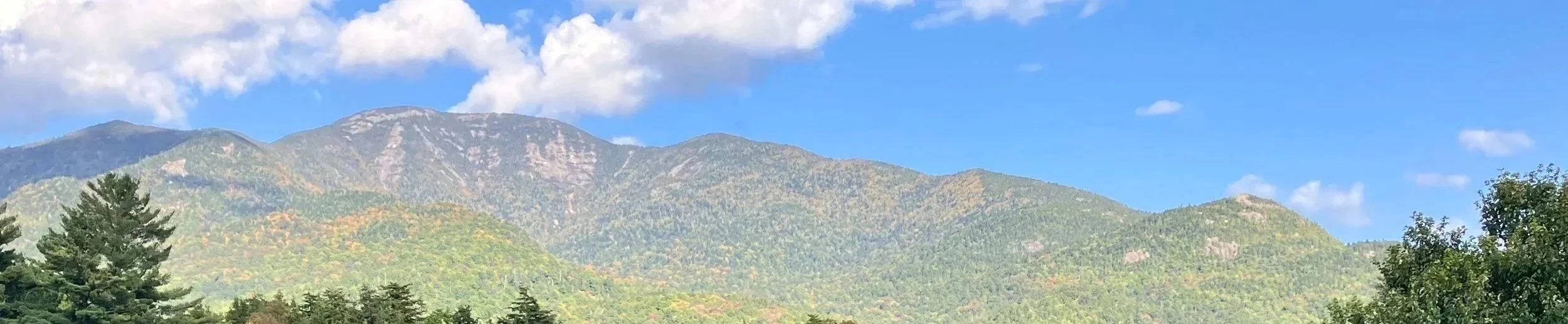
View of Giant Mountain from the Ausable Club